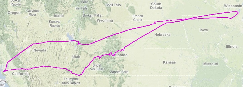
The route taken. The more northerly route was the way out to WI,
and the southern route was the way back. You explore this in more
detail on
an
interactive map too.
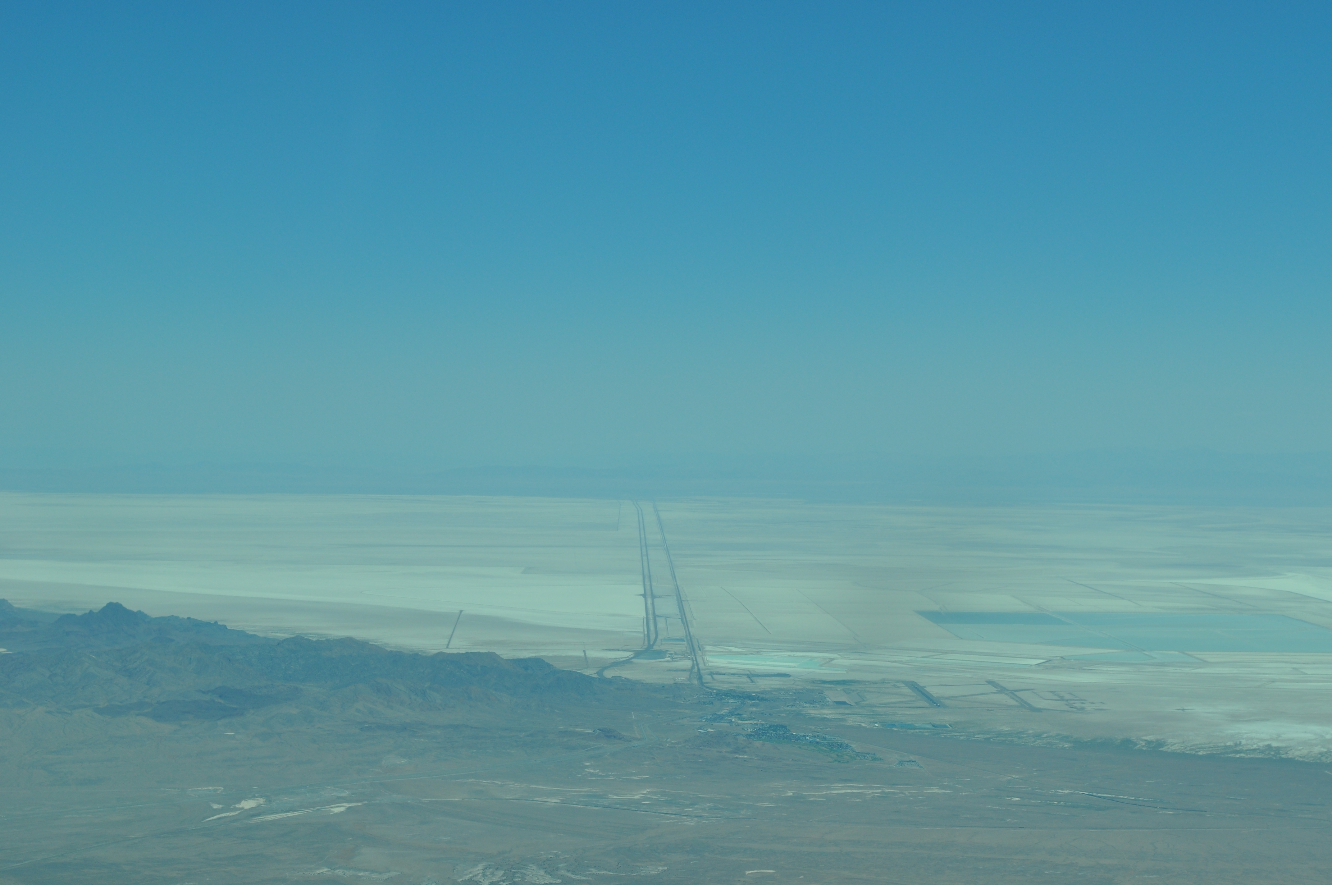
Highway 80 crossing the salt flats west of Salt Lake City. |

|
|

|
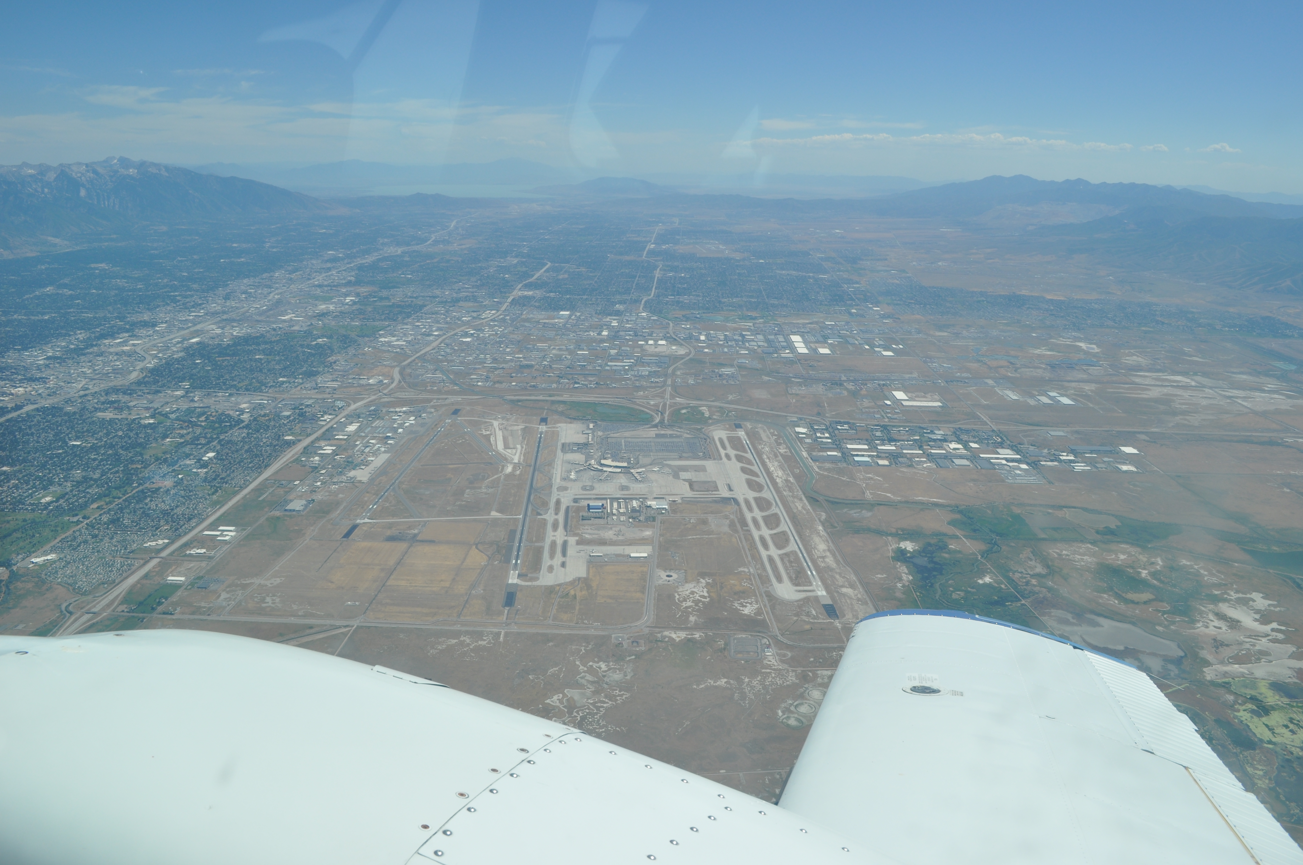
Salt Lake City int'l airport |
|
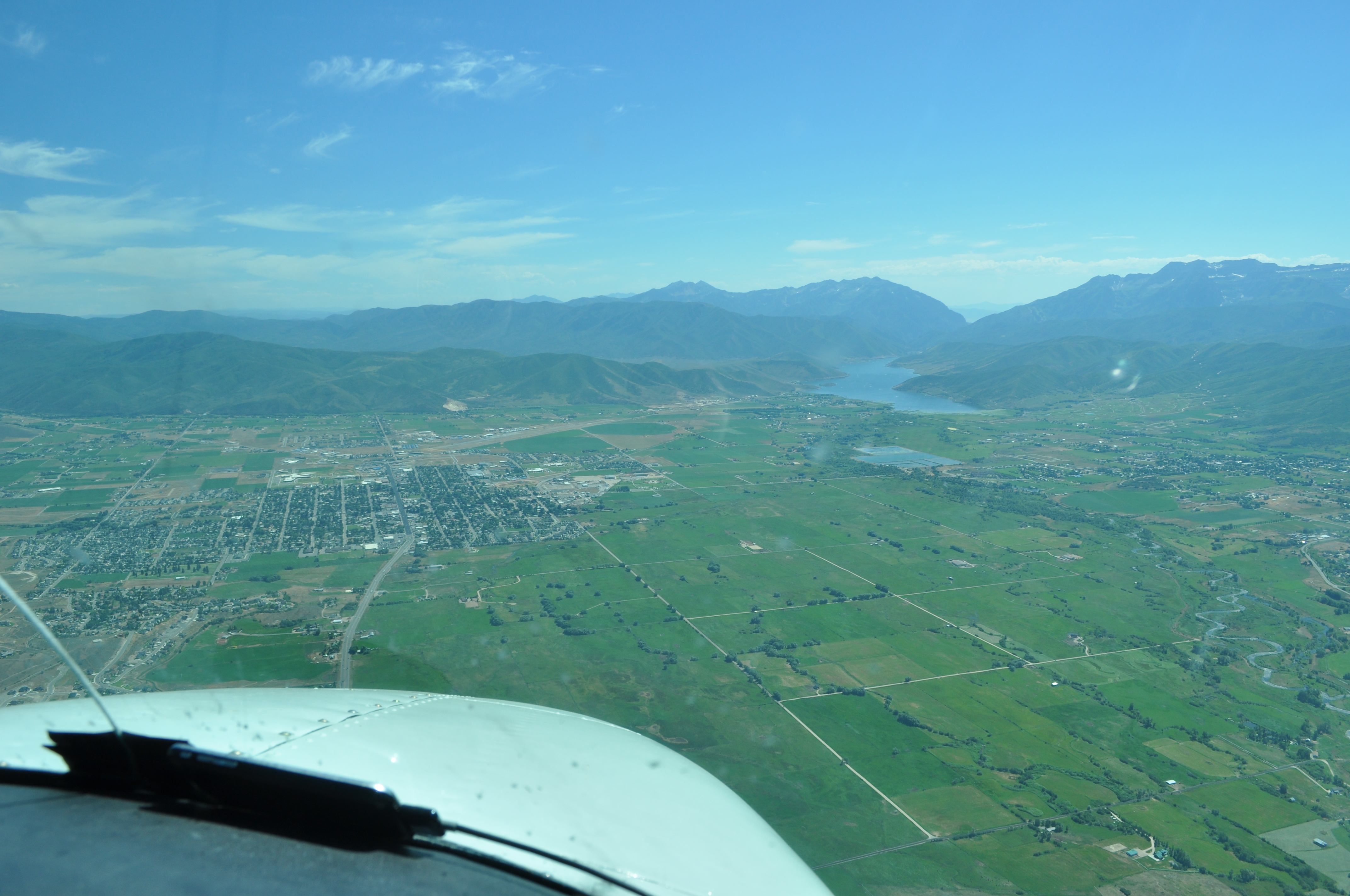
Approaching Heber City, Utah |
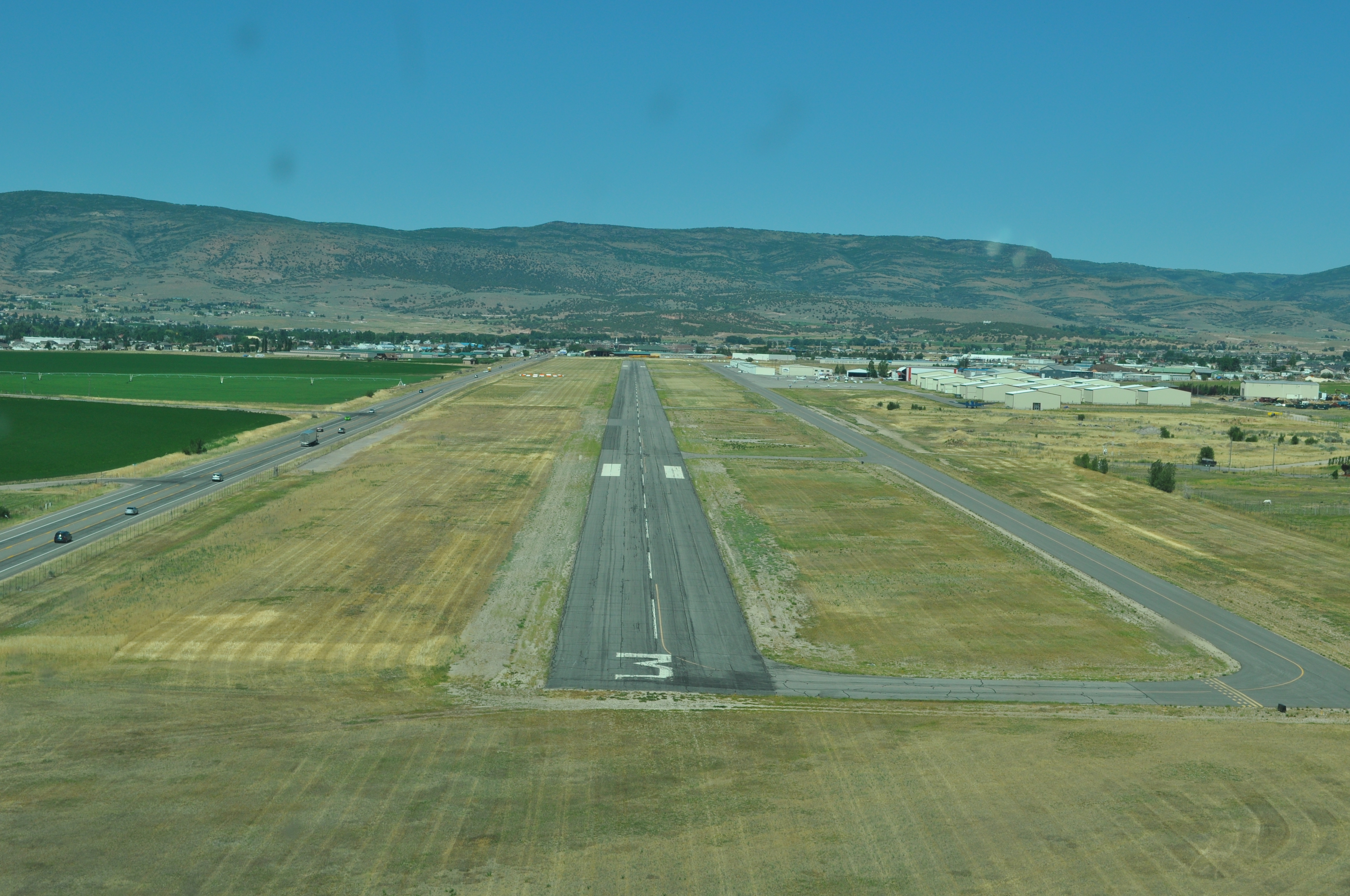
Landing at Heber City for fuel |
|
|
|
|
Near the corner of Utah, Colorado, and Wyoming. |

|
|
|
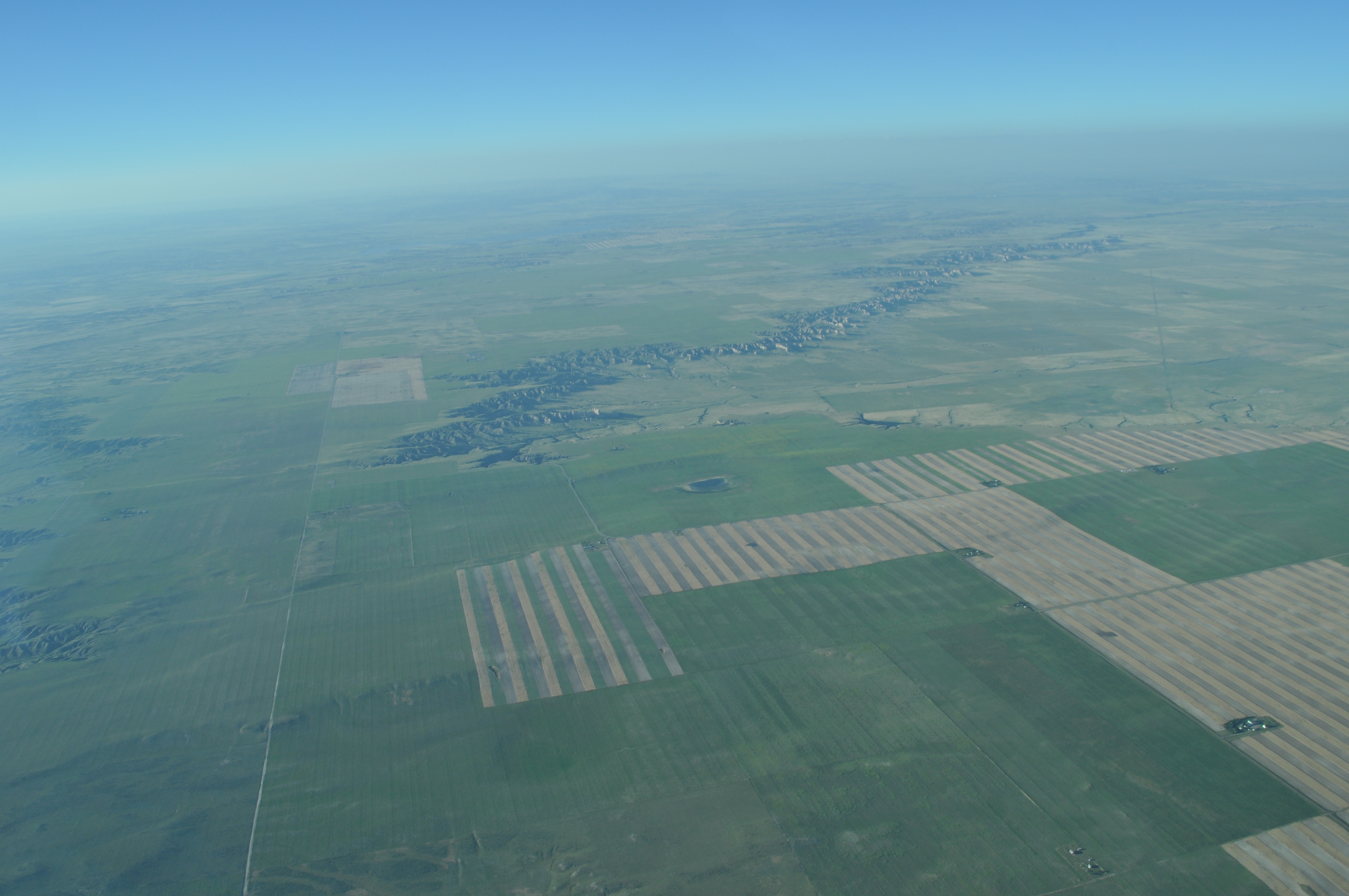
Sand Hills in northwestern Nebraska |
|
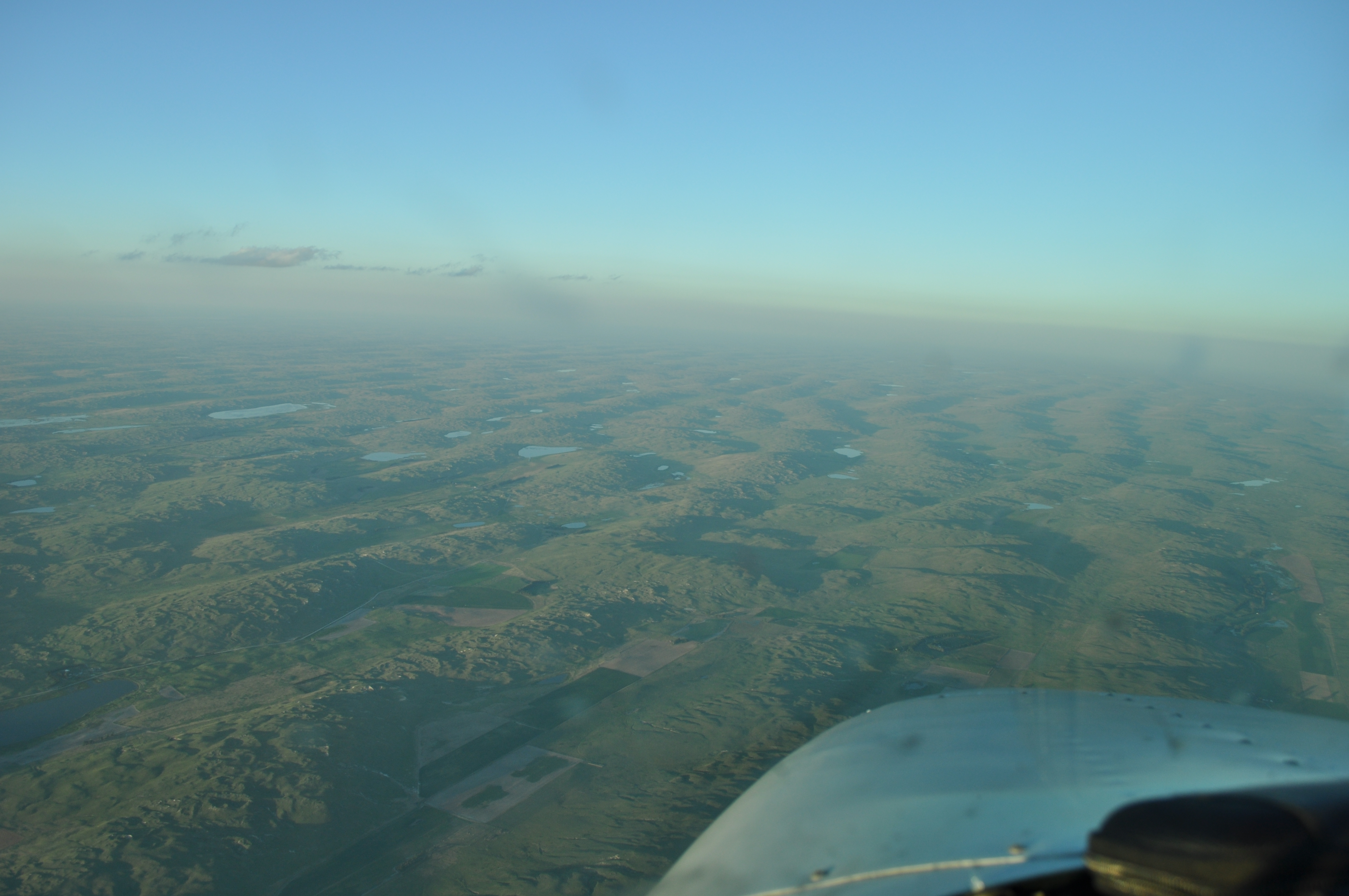
Almost to Valentine, NE |
|
|
|
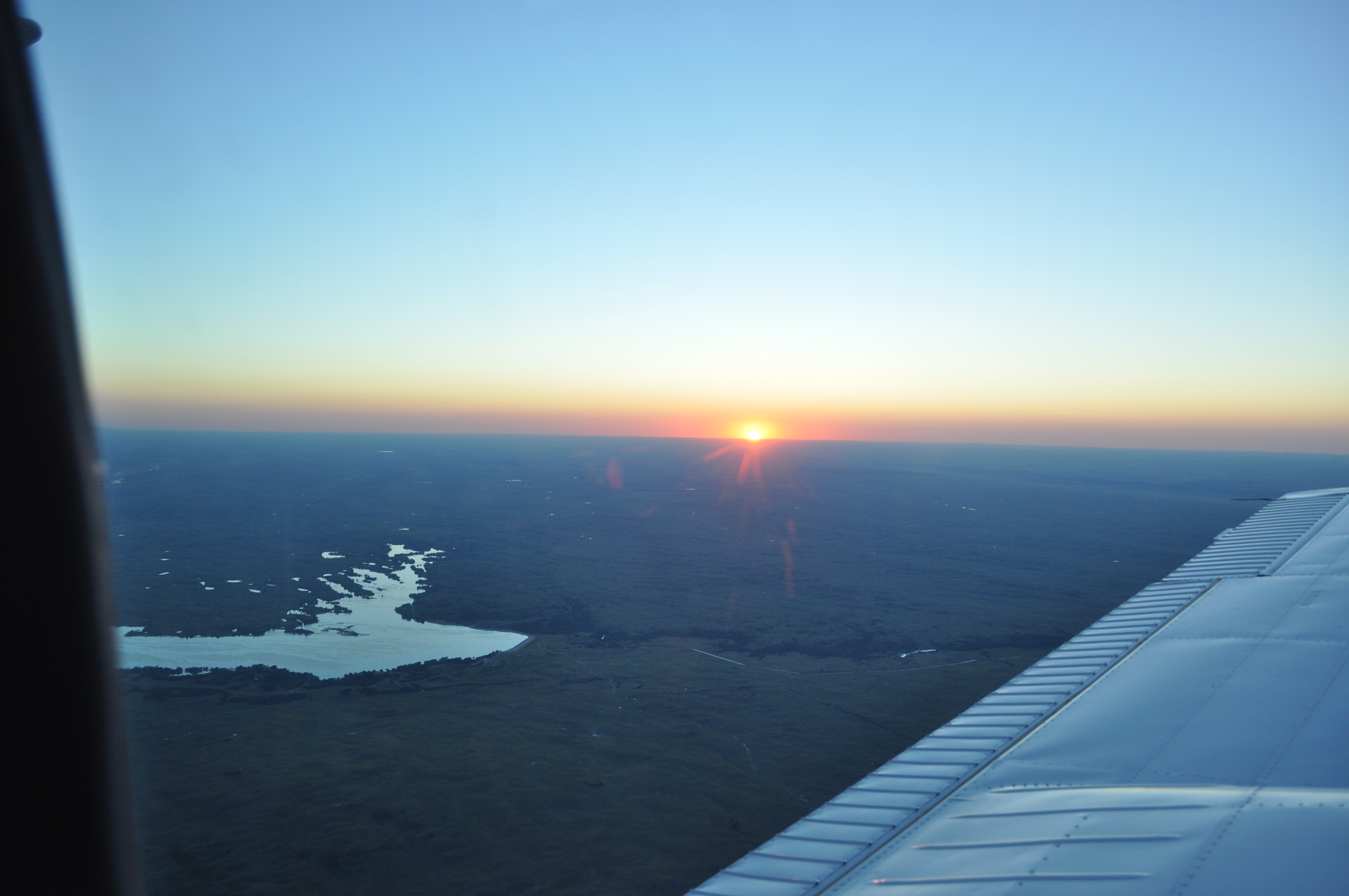
Crossing the Niobrara river after departing Valentine the next morning. |
|

|
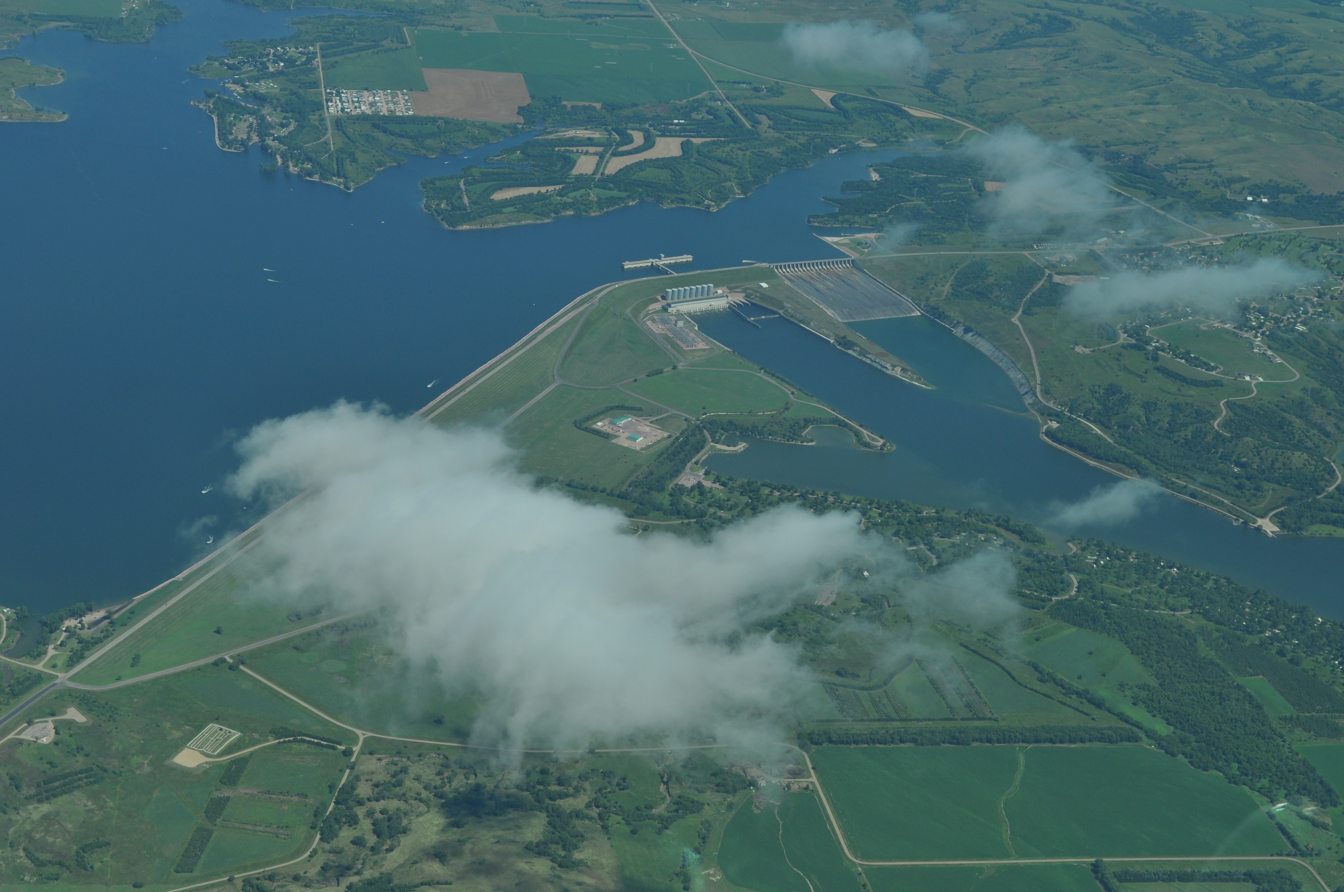
A dam on the Missouri River near Pickstown, SD |
|
|
|
|

|
On the ground at Spencer, Iowa. One leg to go! |
|
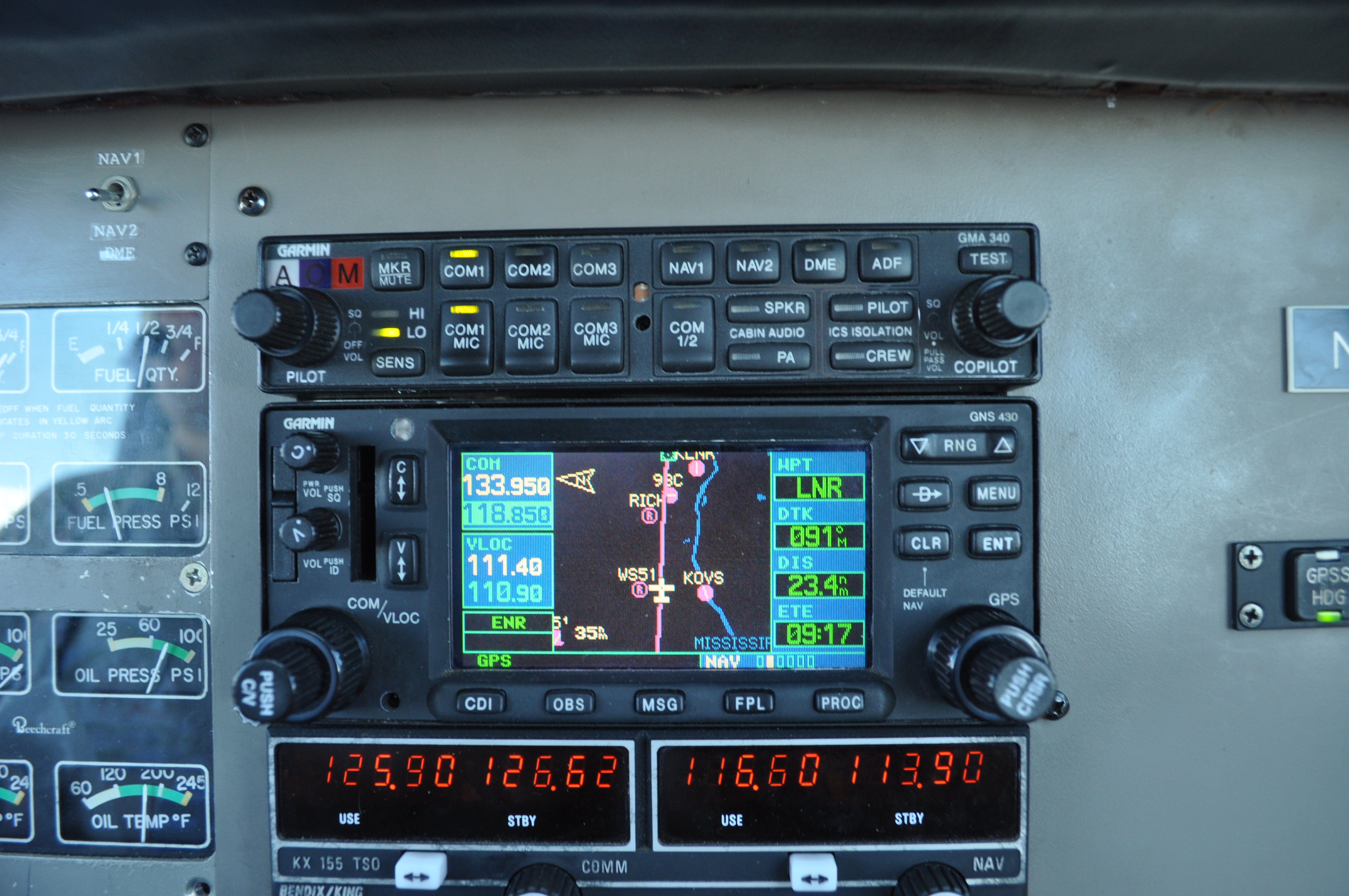
The GPS tells us we are near Richland Center, WI :) |
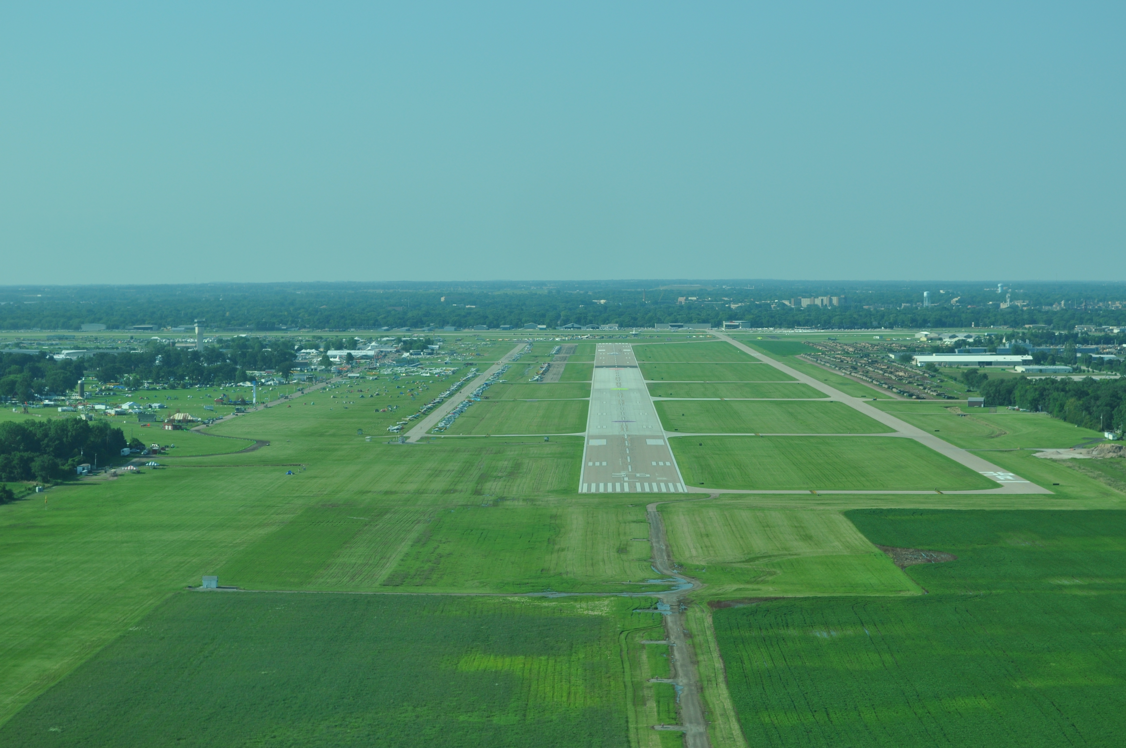
Final for runway 36 at Oshkosh. |
|
|
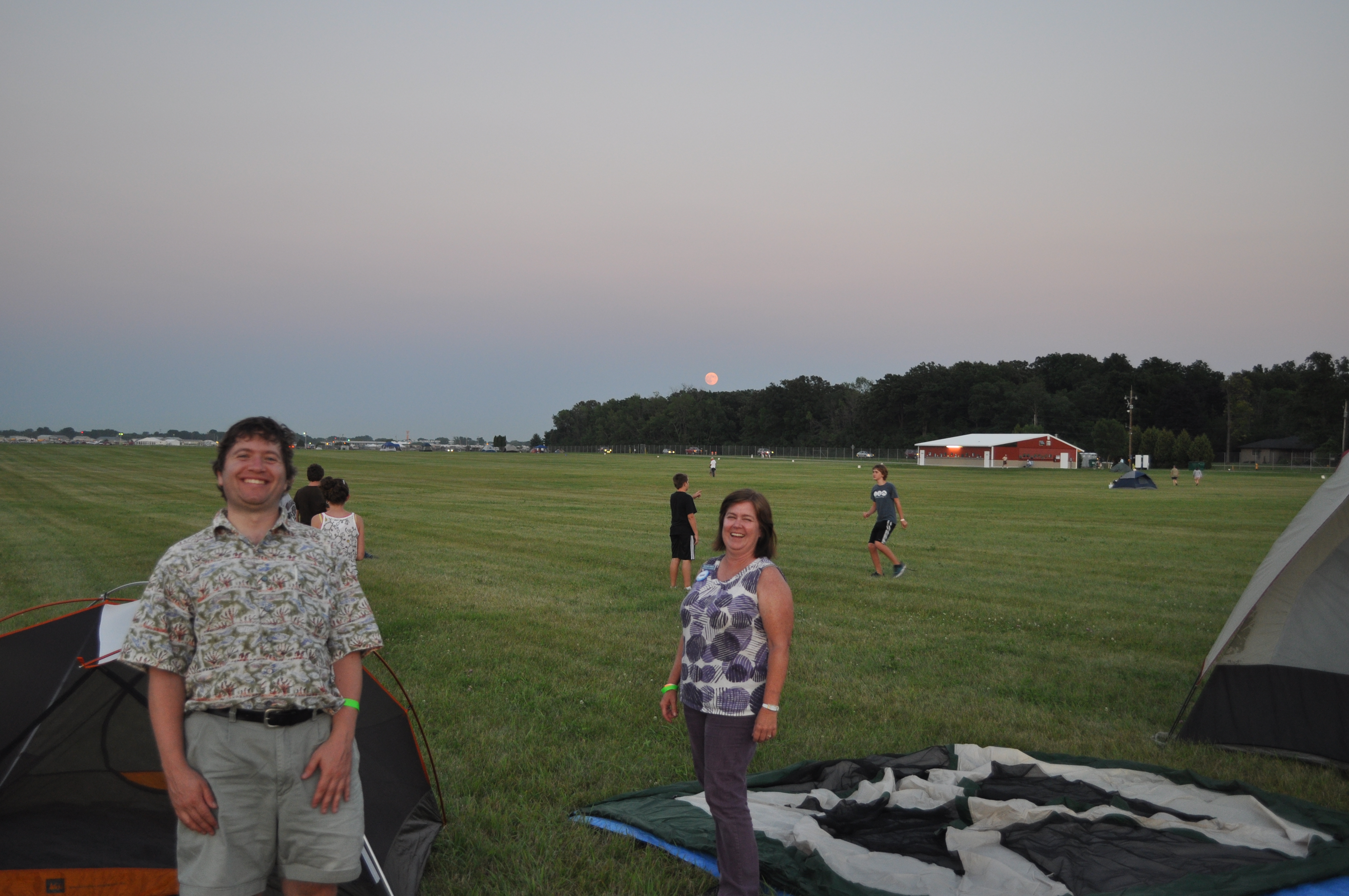
Peter and Heather set up camp. Usually all the grass behind them is filled with planes, but it was too muddy this year. |
|

|
|
|
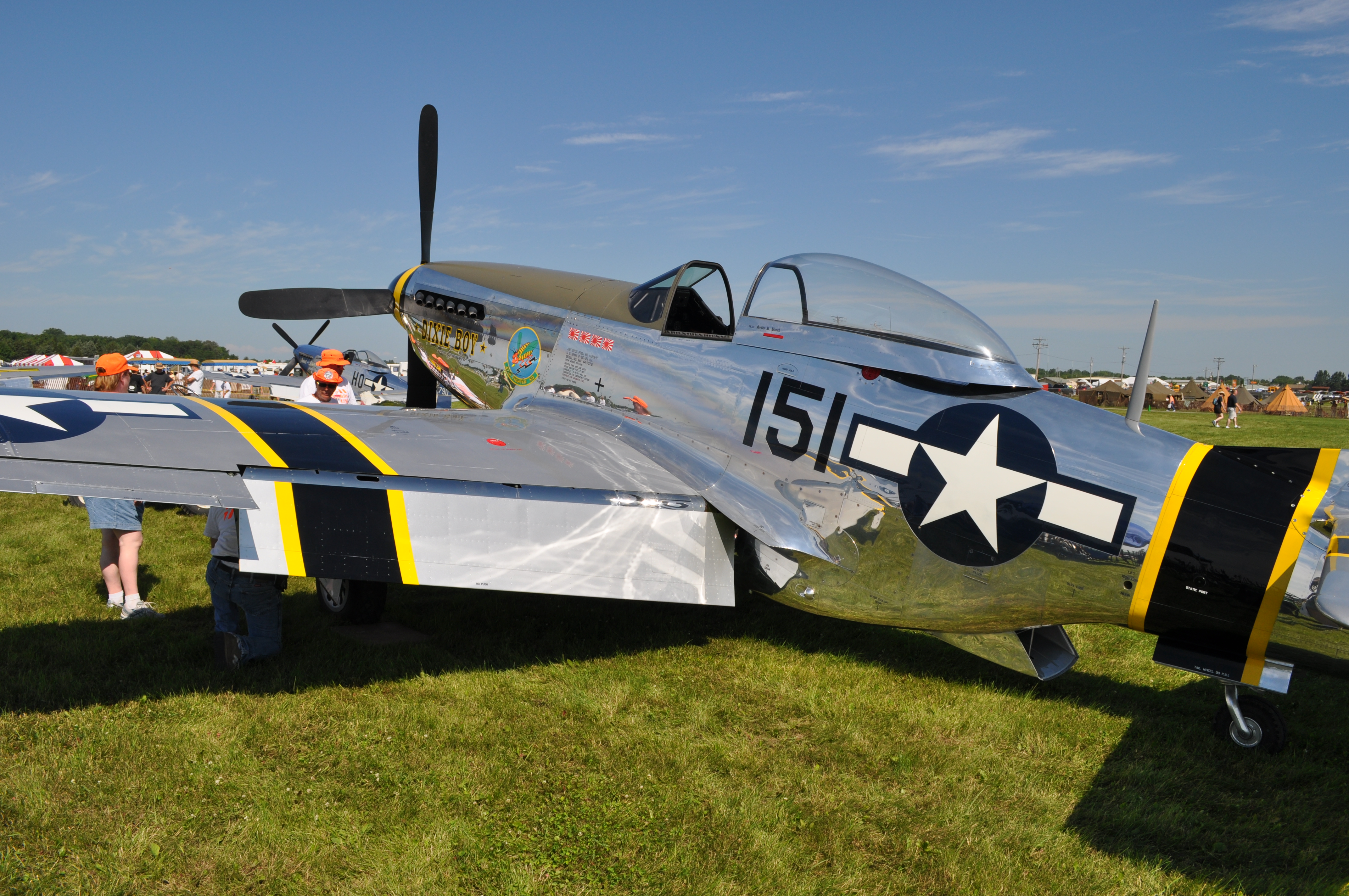
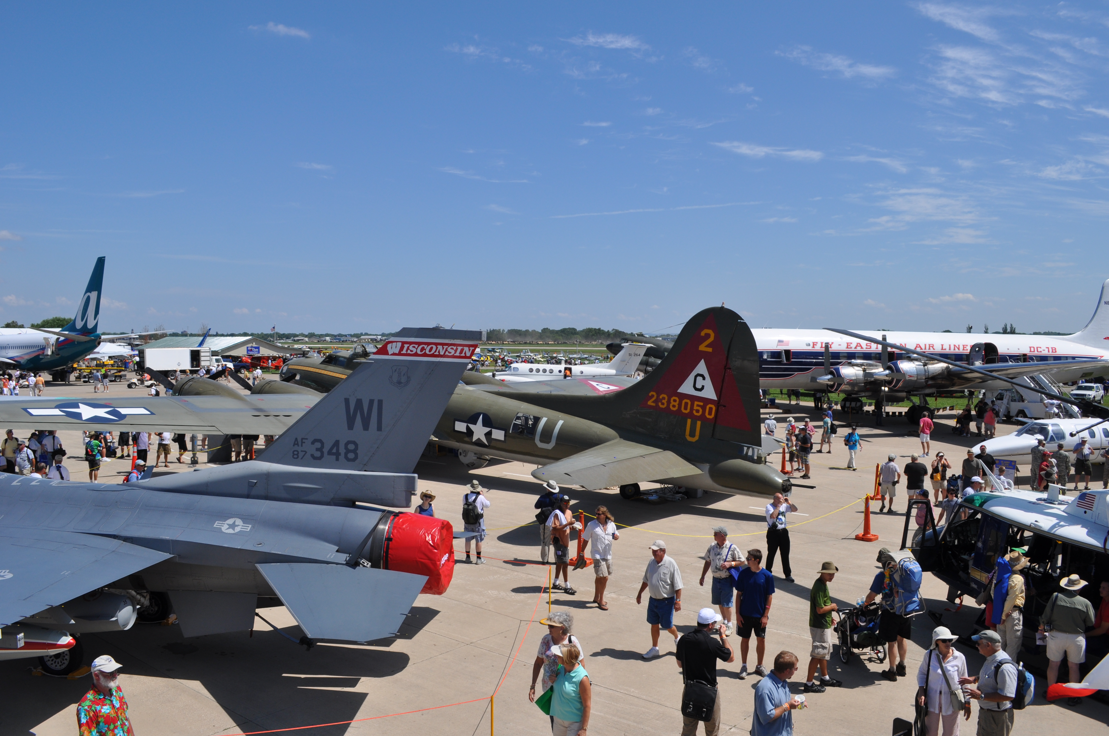
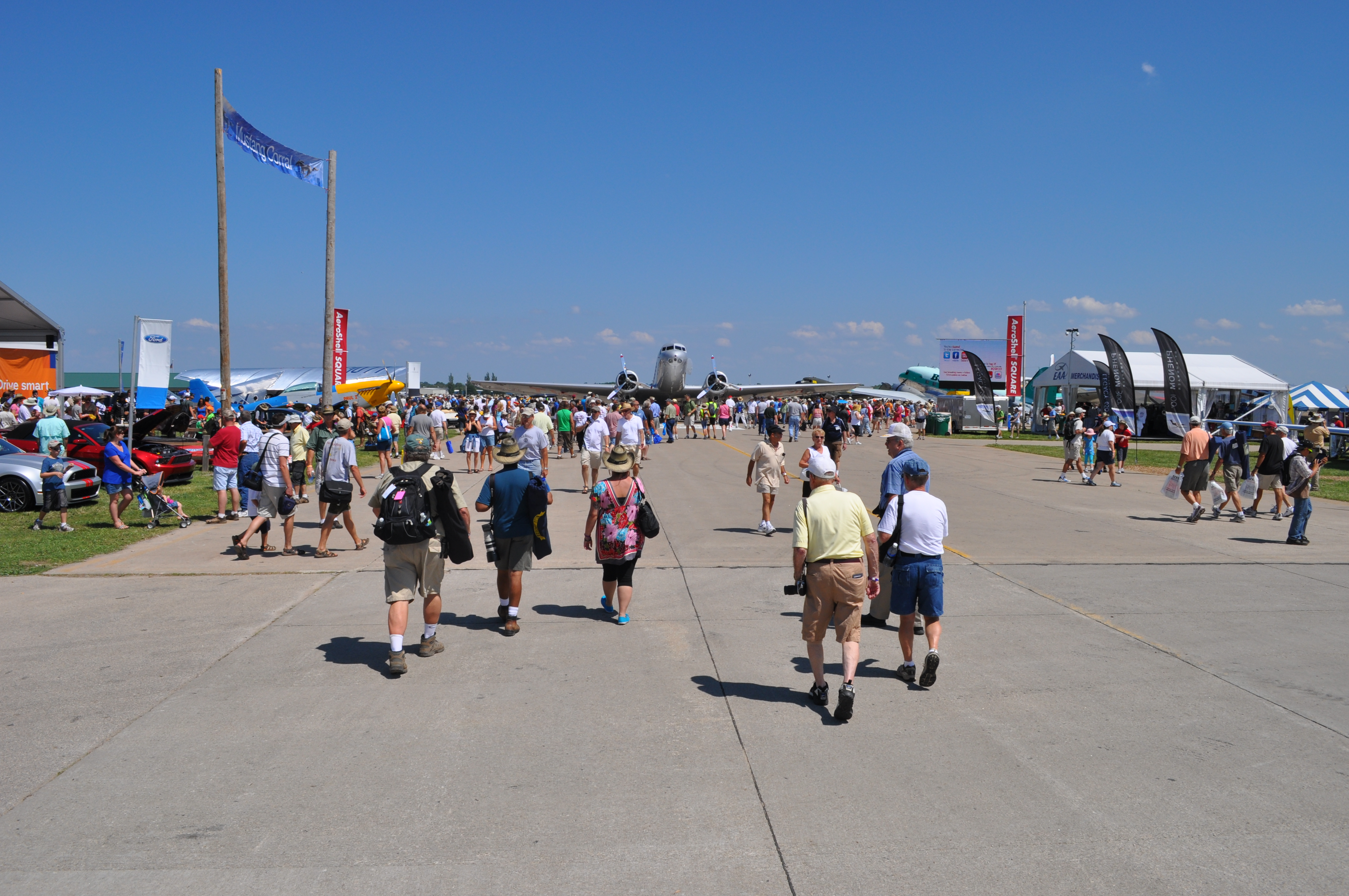
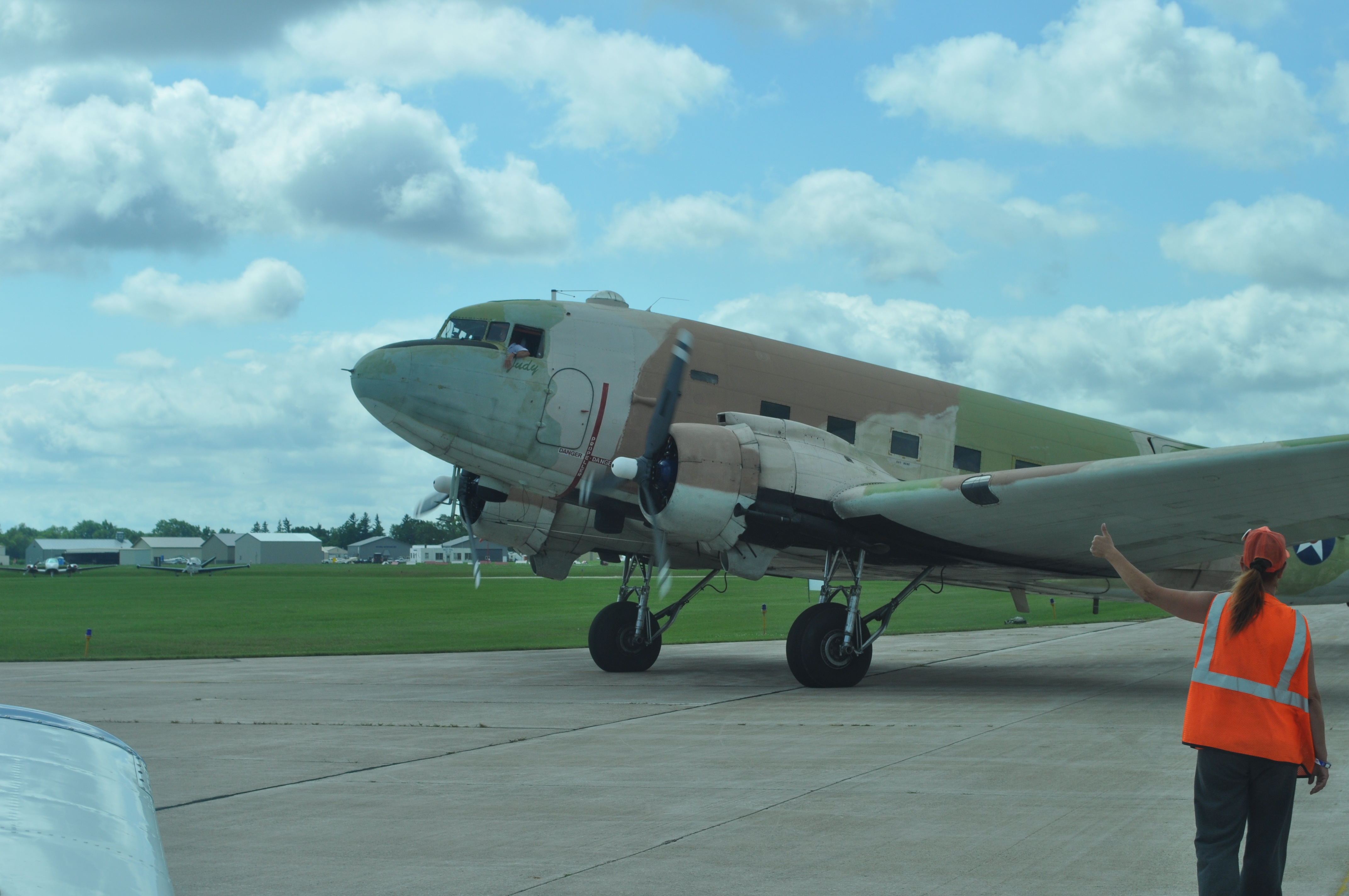
Day 1 at the show. Quite the pretty mustang. |
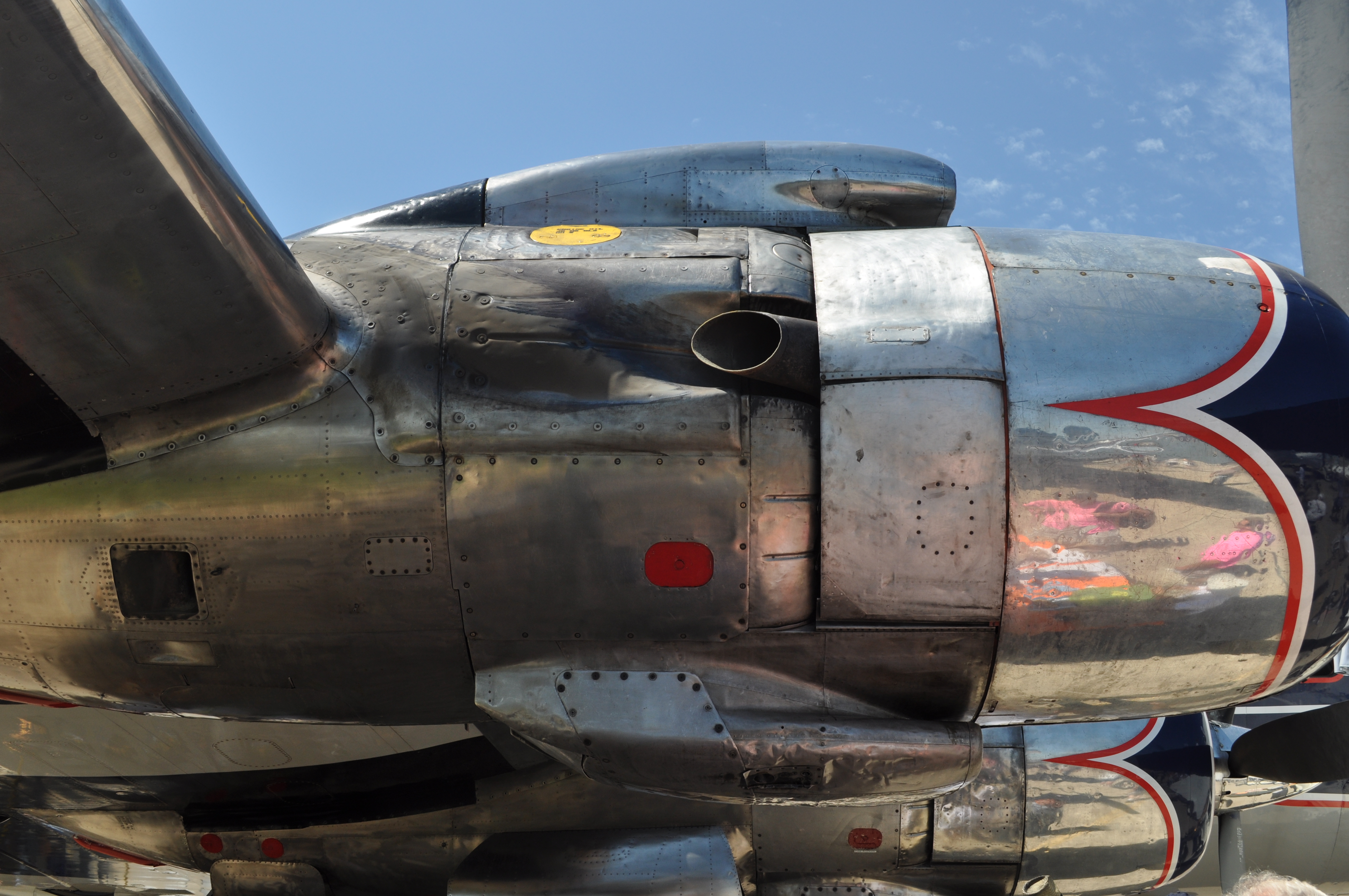
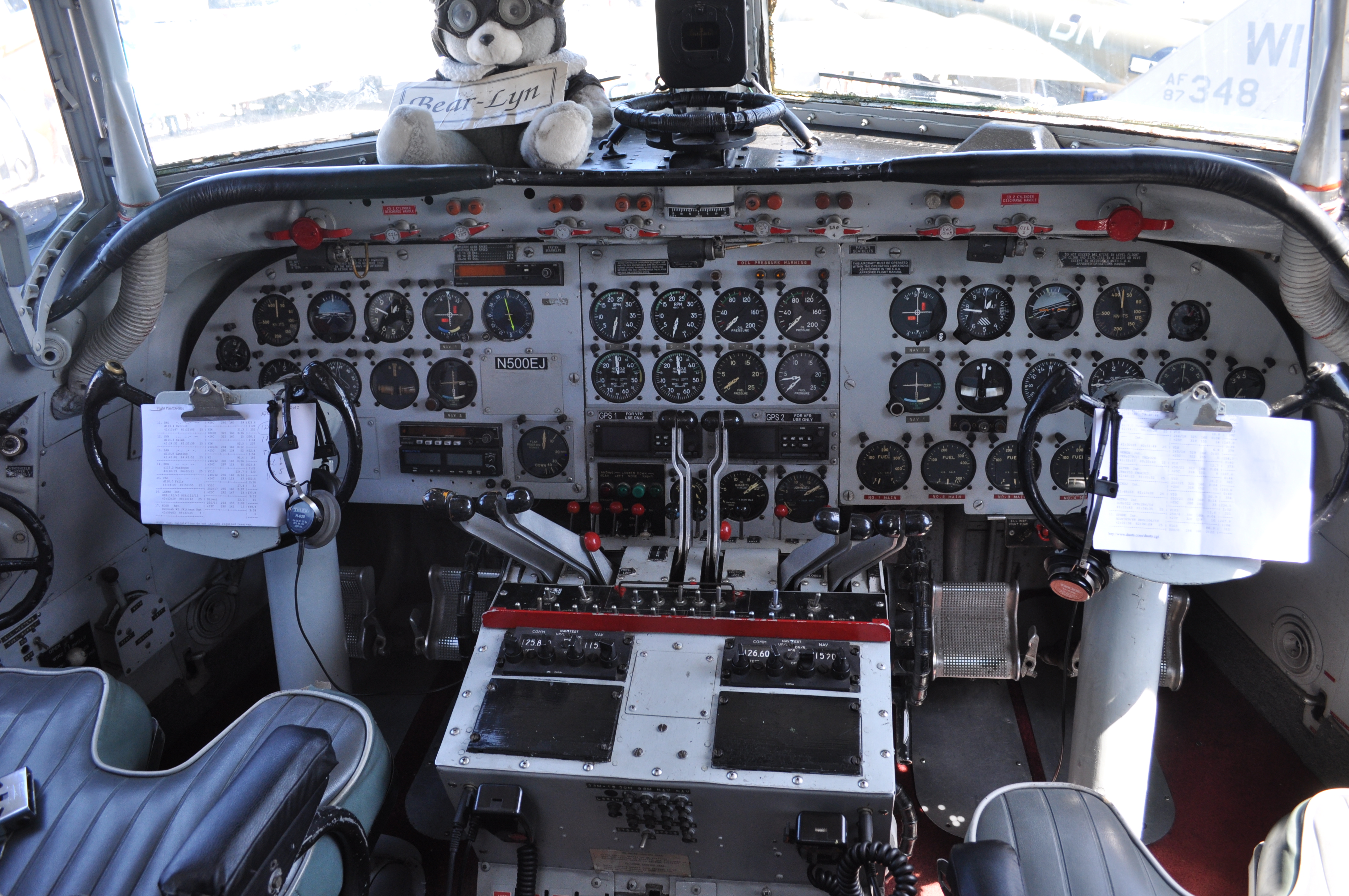
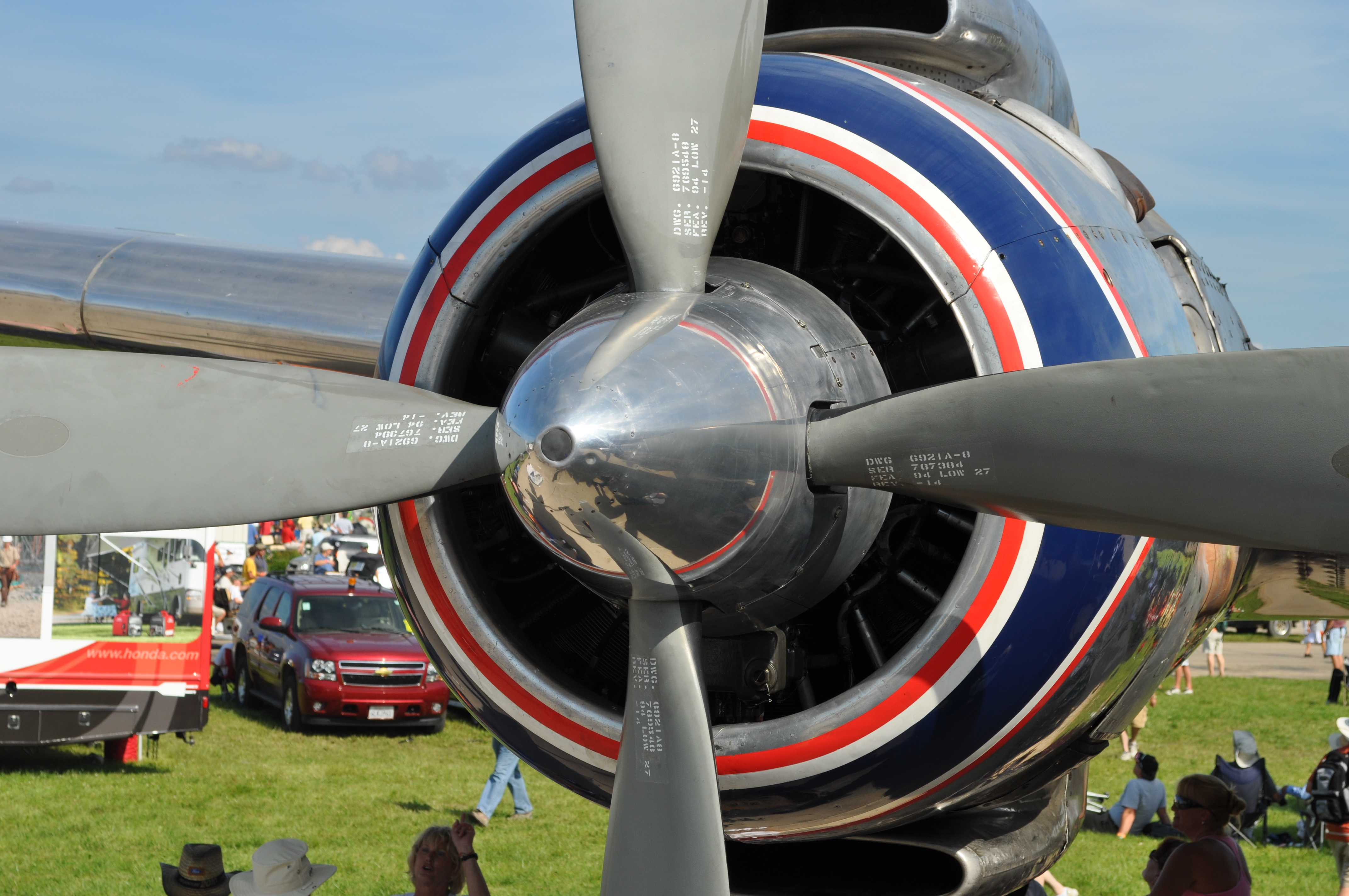
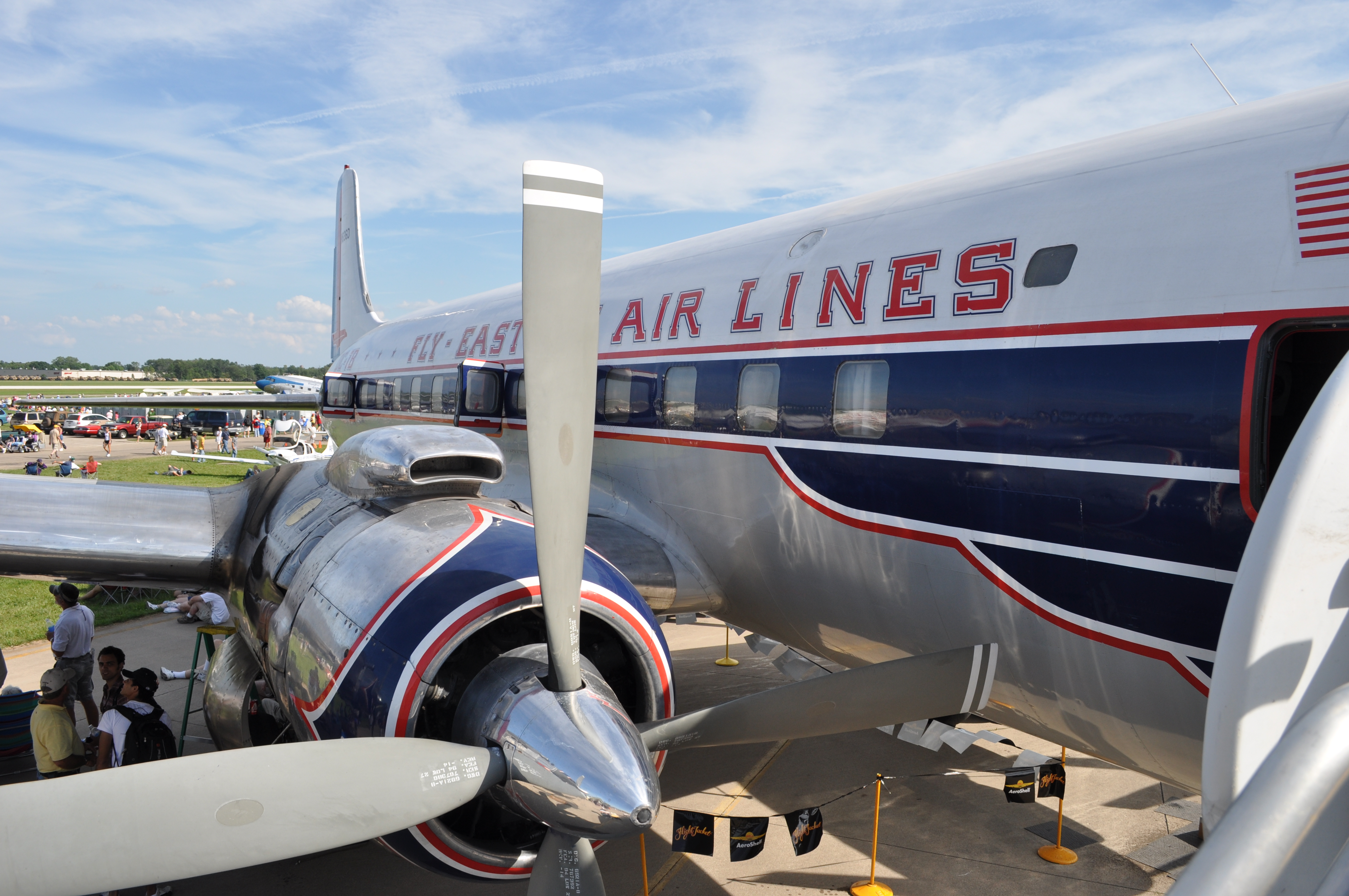
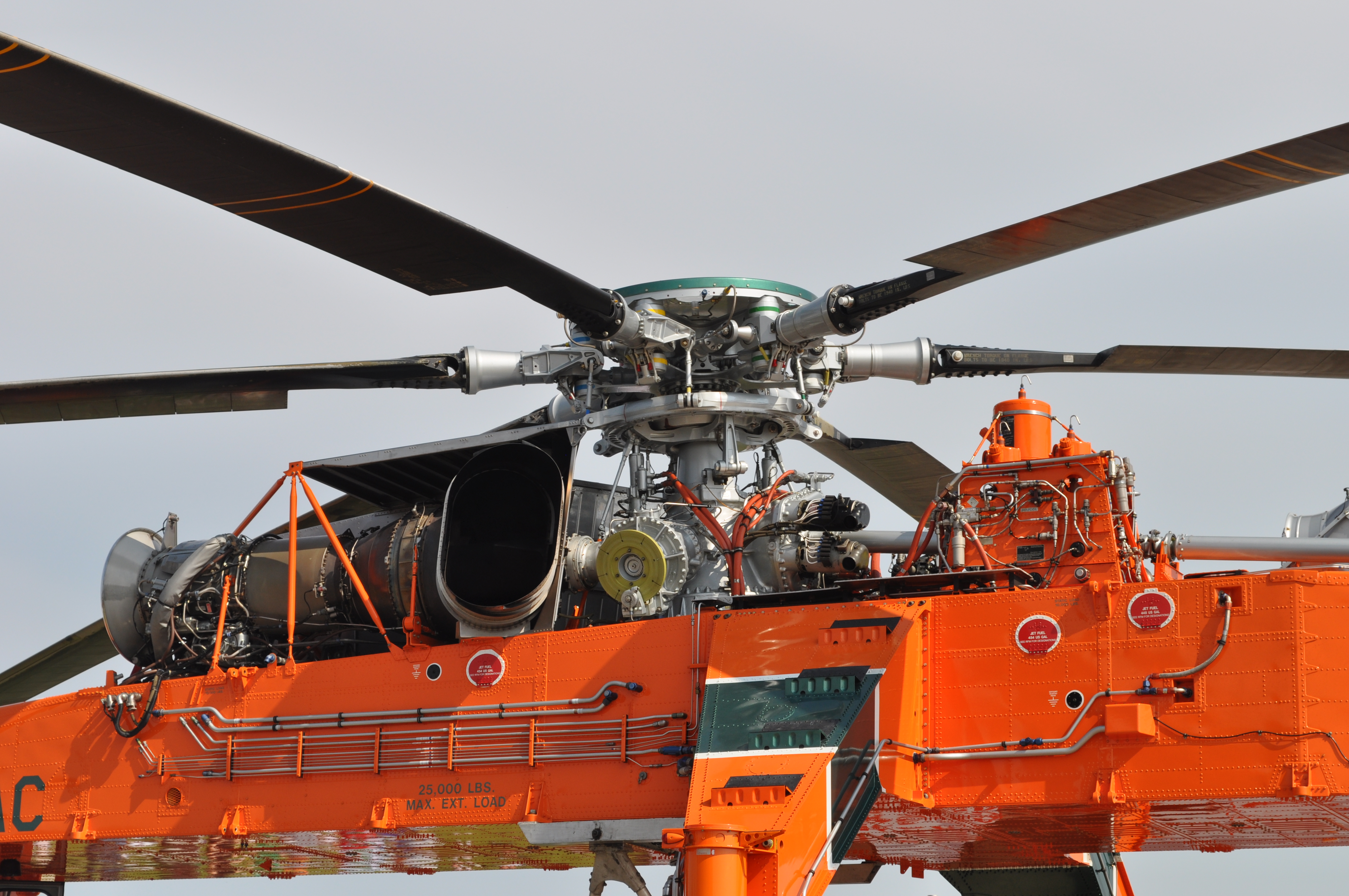
The engine on an Eastern Airlines DC-7 |
|
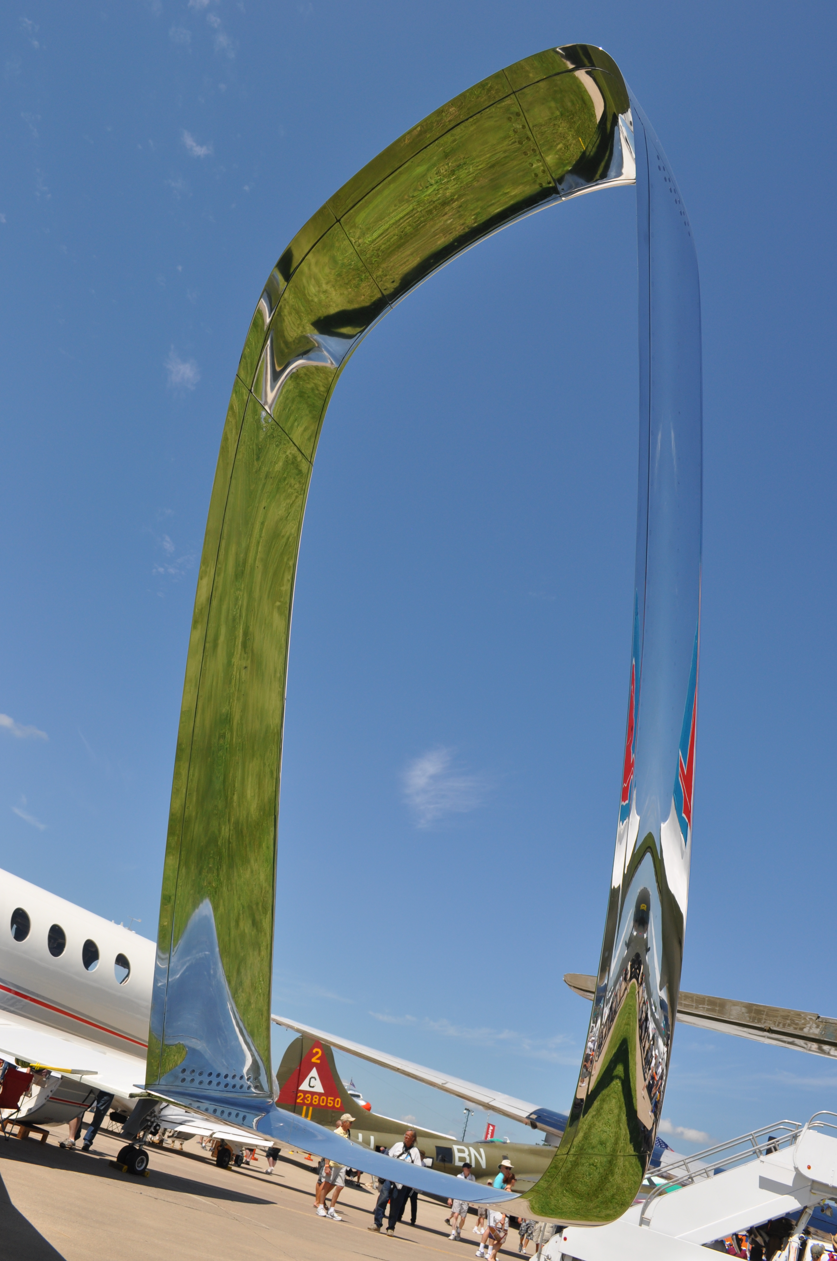
An experimental wingtip design |
|
|
|
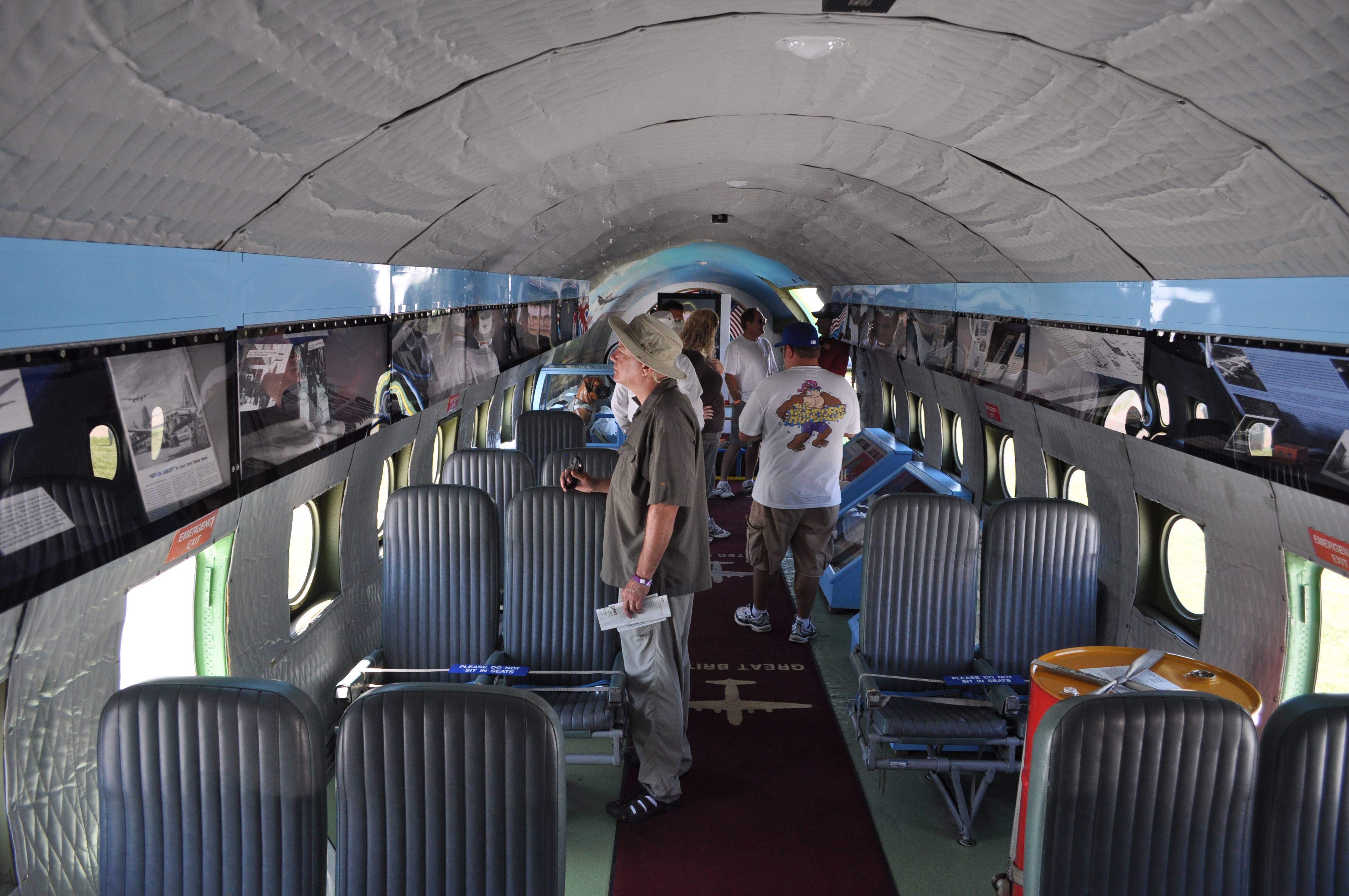
Look at all that legroom! |
|
|
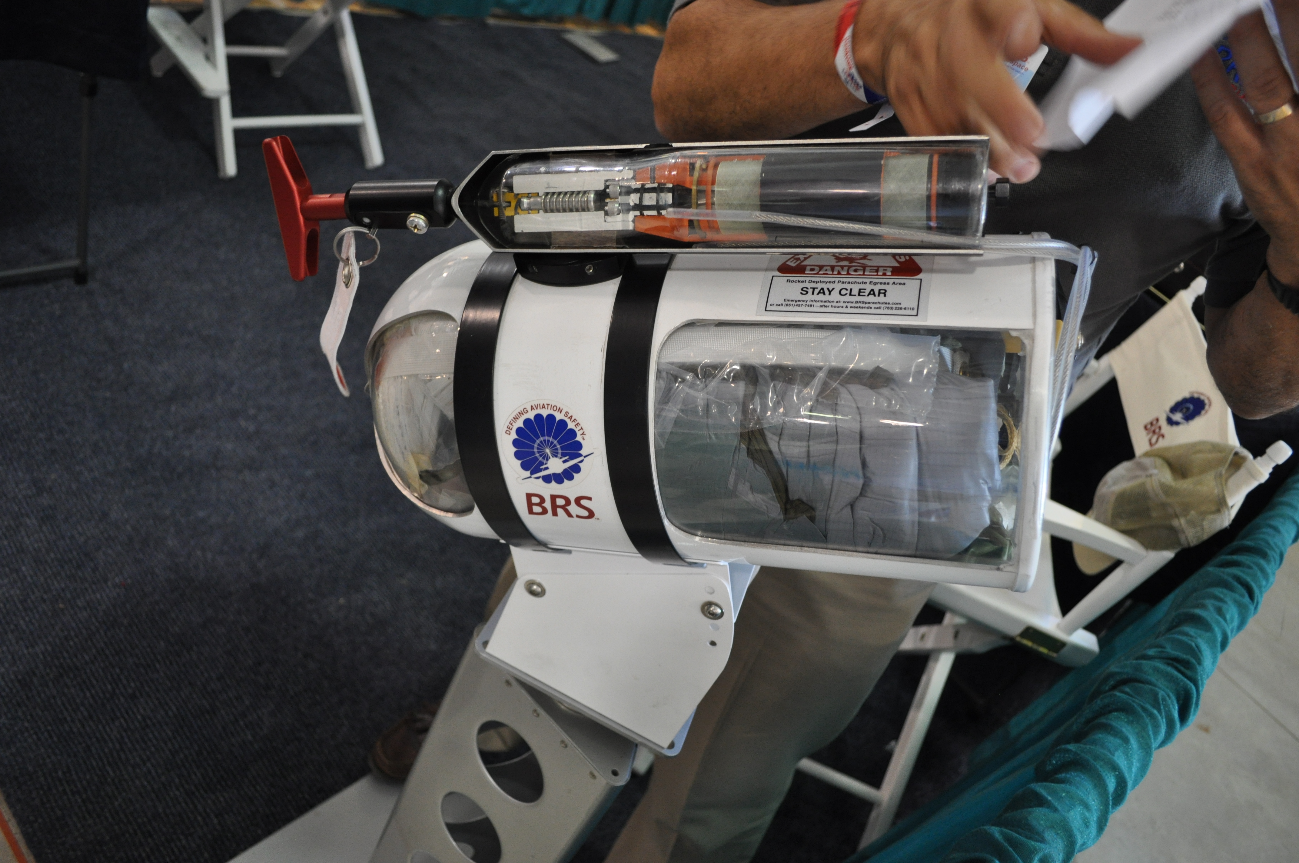
The ballistic parachute system installed in some newer GA aircraft. |
|
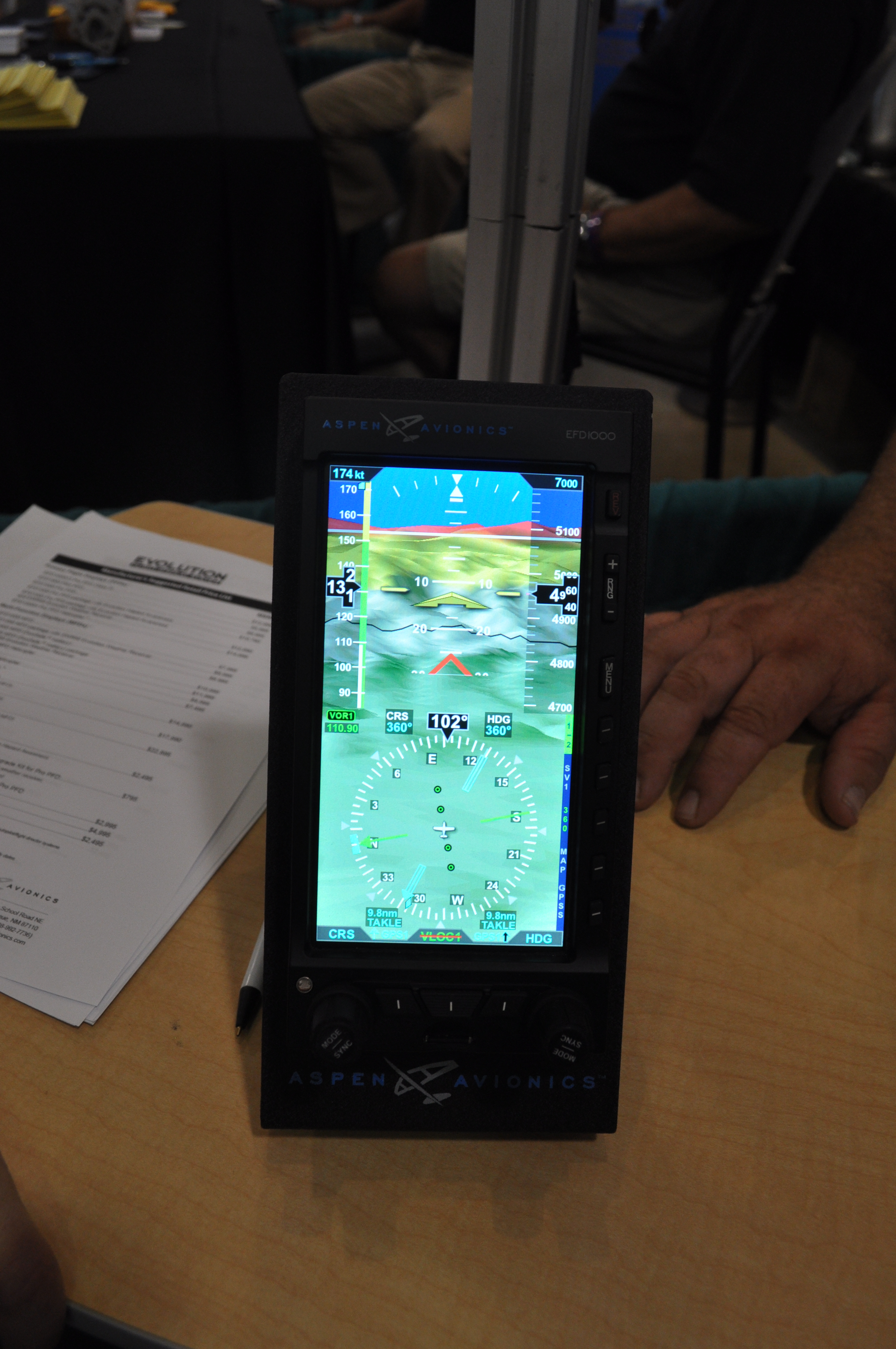
An Aspen with synthetic vision. Good stuff. |
|
|
|
|
|
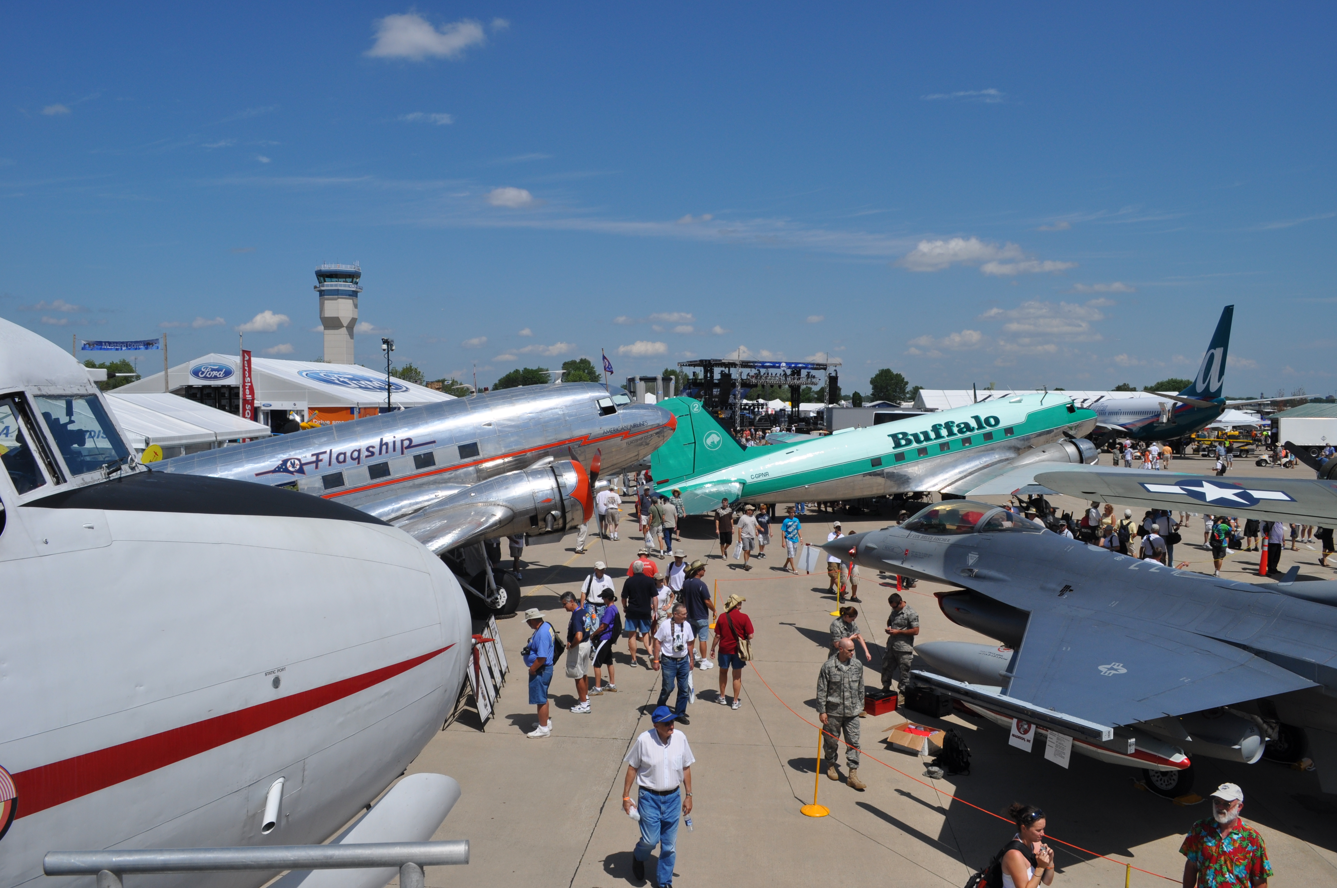
Time to go inside! |
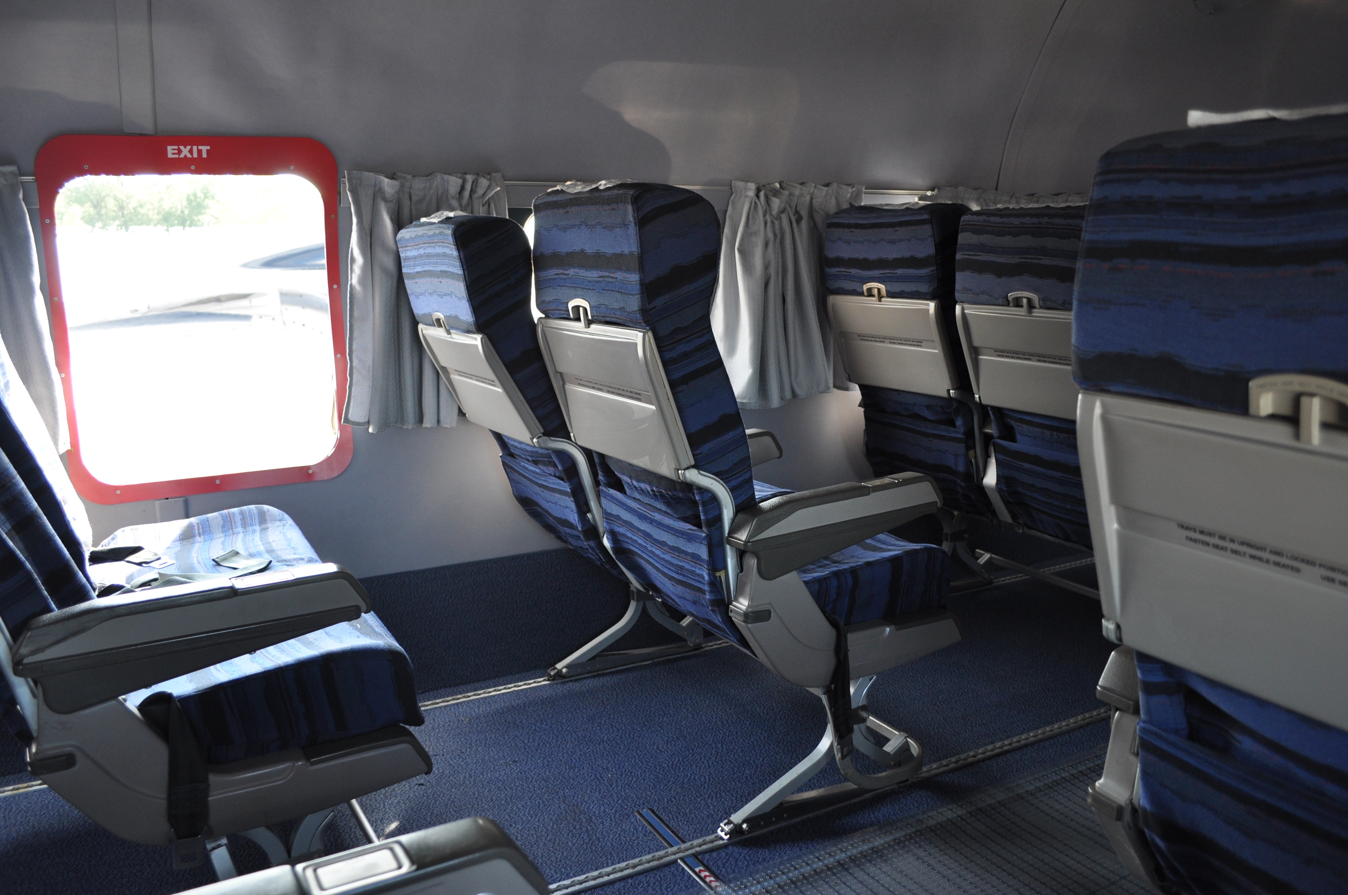
Again, legroom! |
|

|
|
|
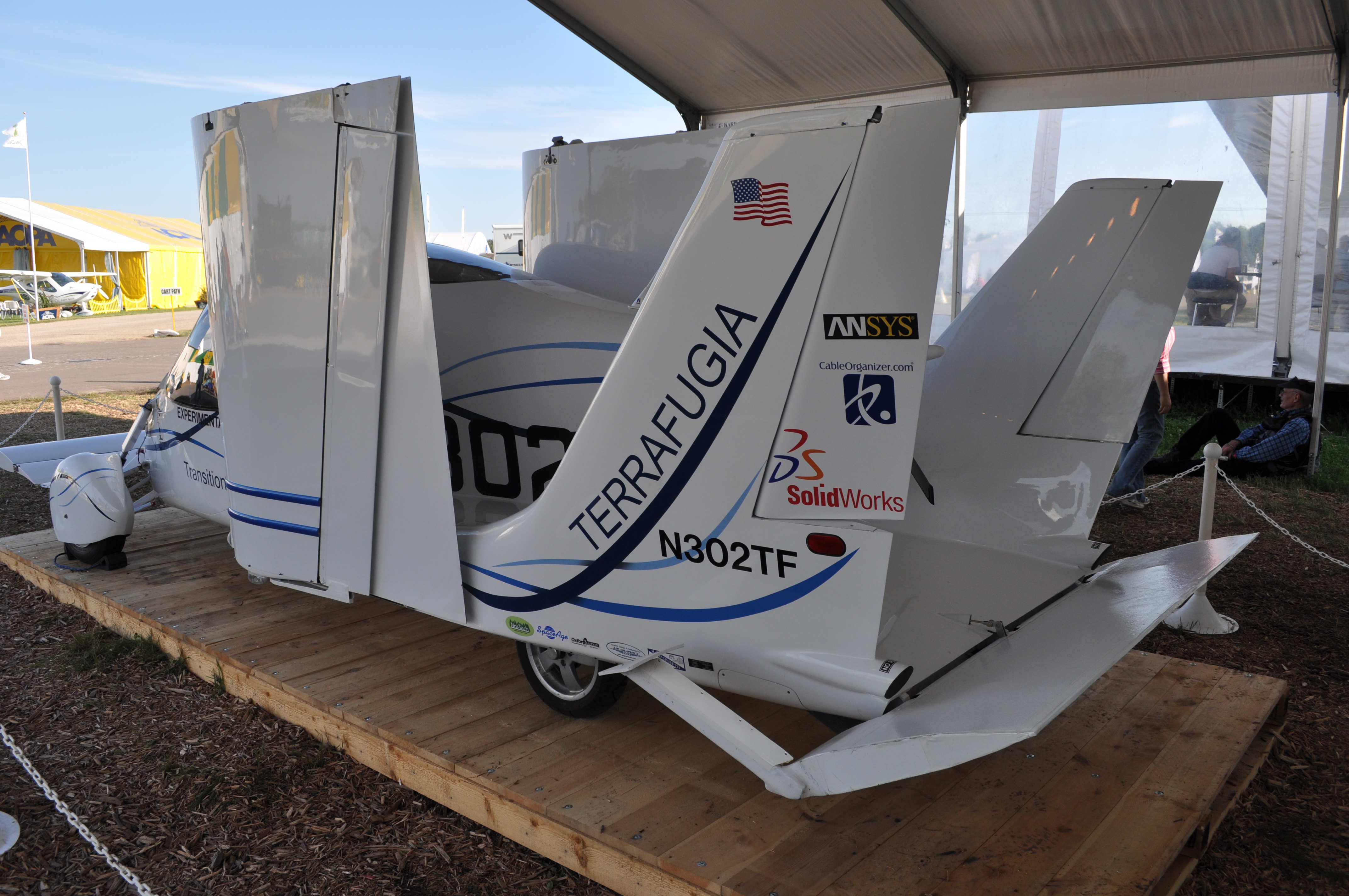
The Terragufia Transition. I can't imagine actually driving this down the road. |

|
|
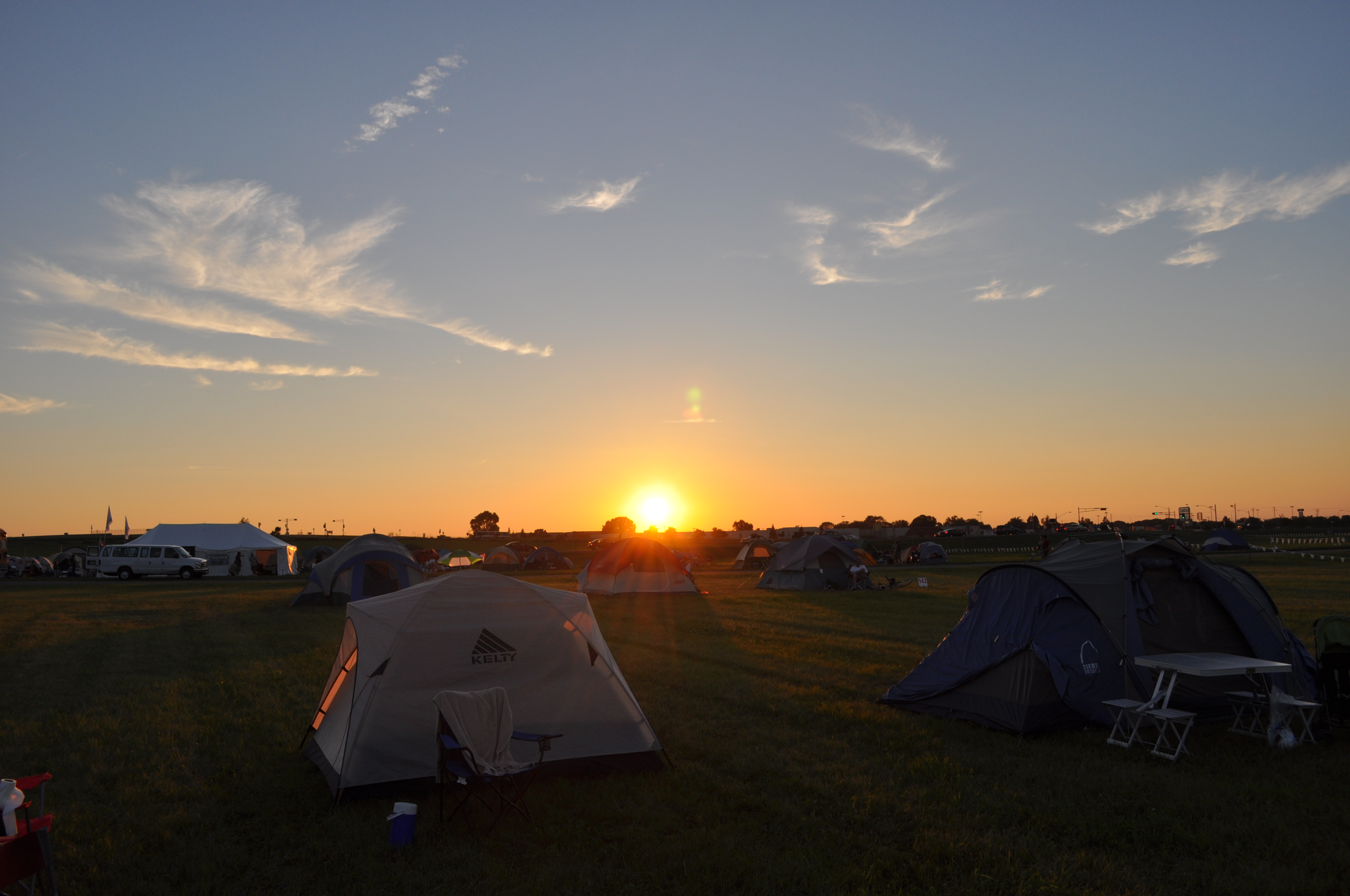
Sunset back at camp |
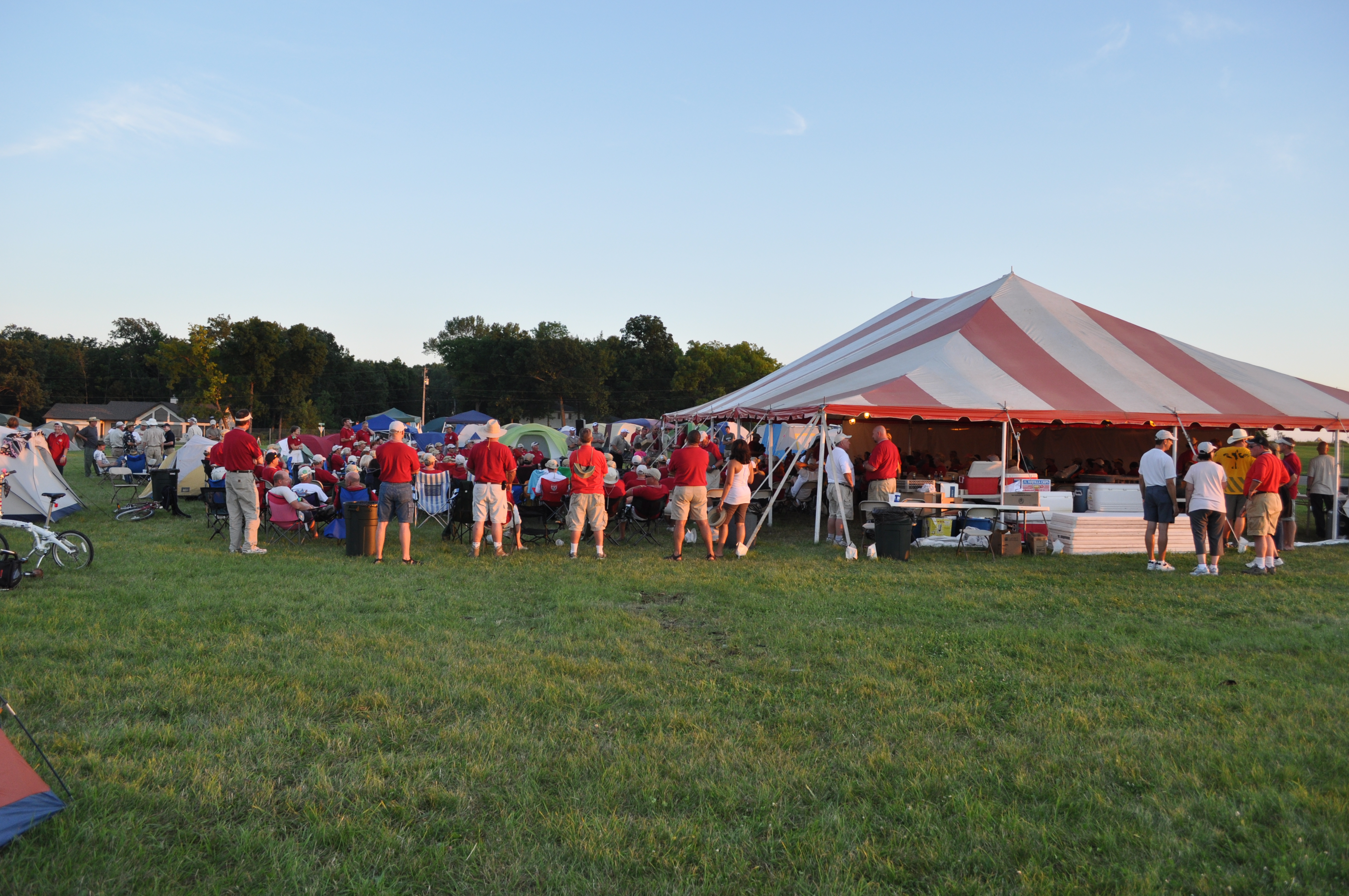
Dinner and prizes at the Bonanzas to Oshkosh tent |
|
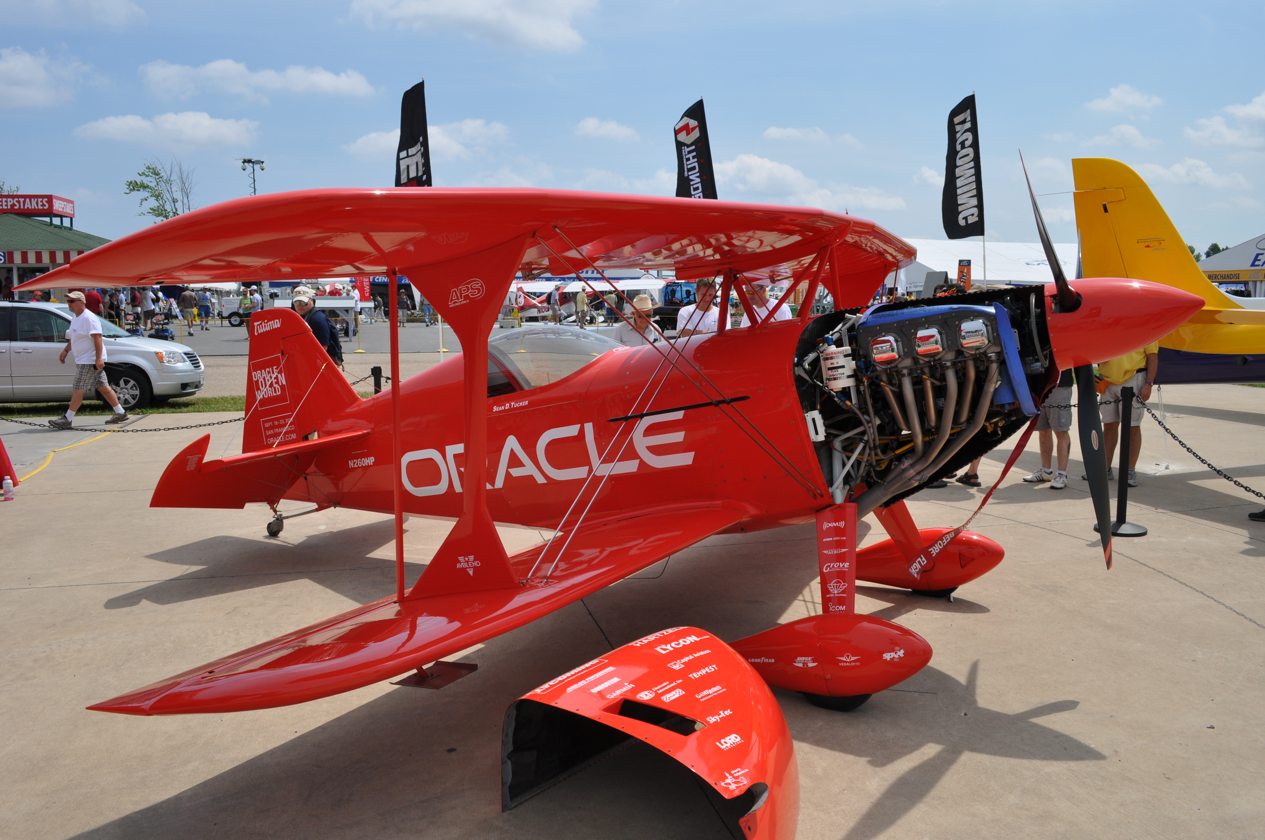
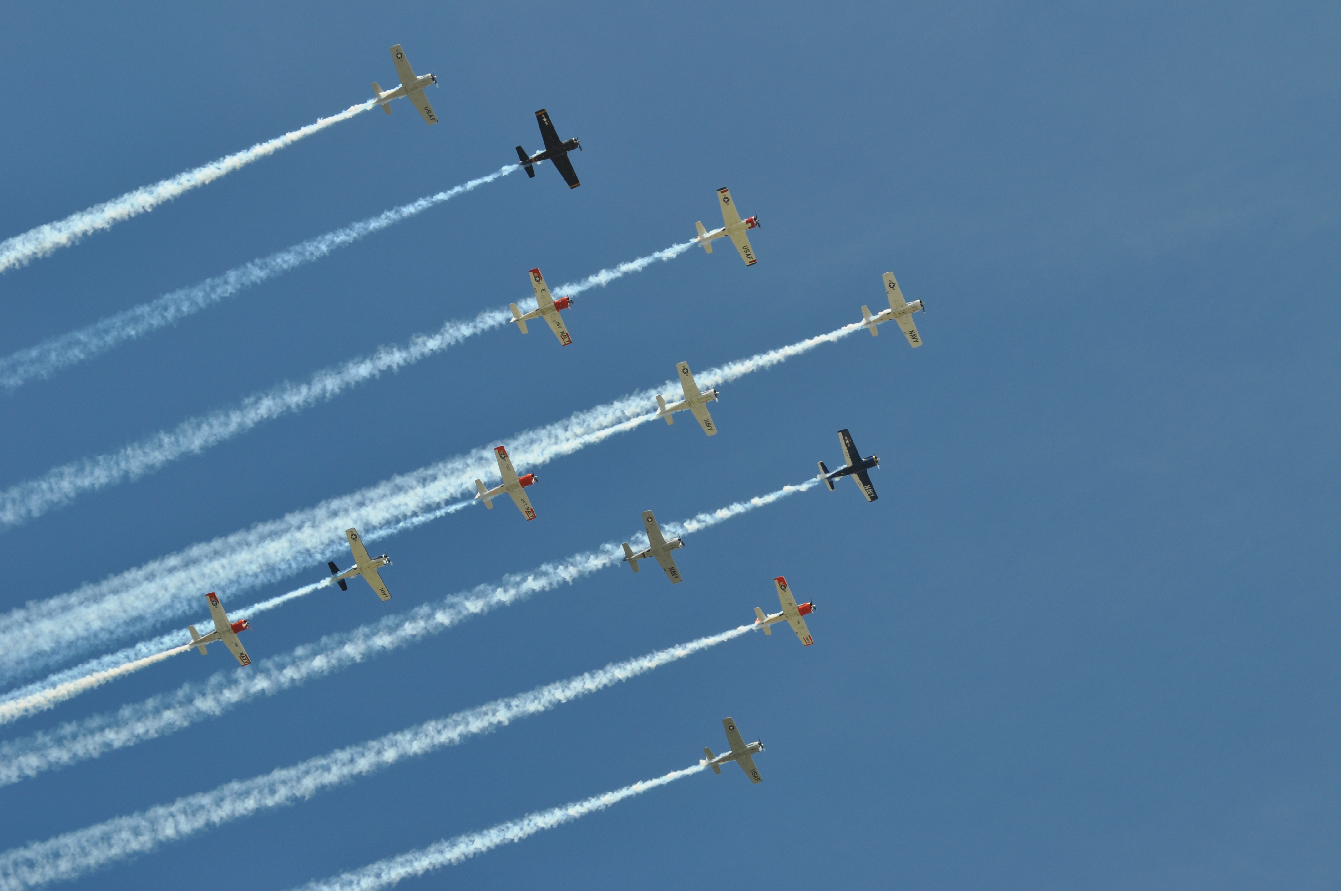
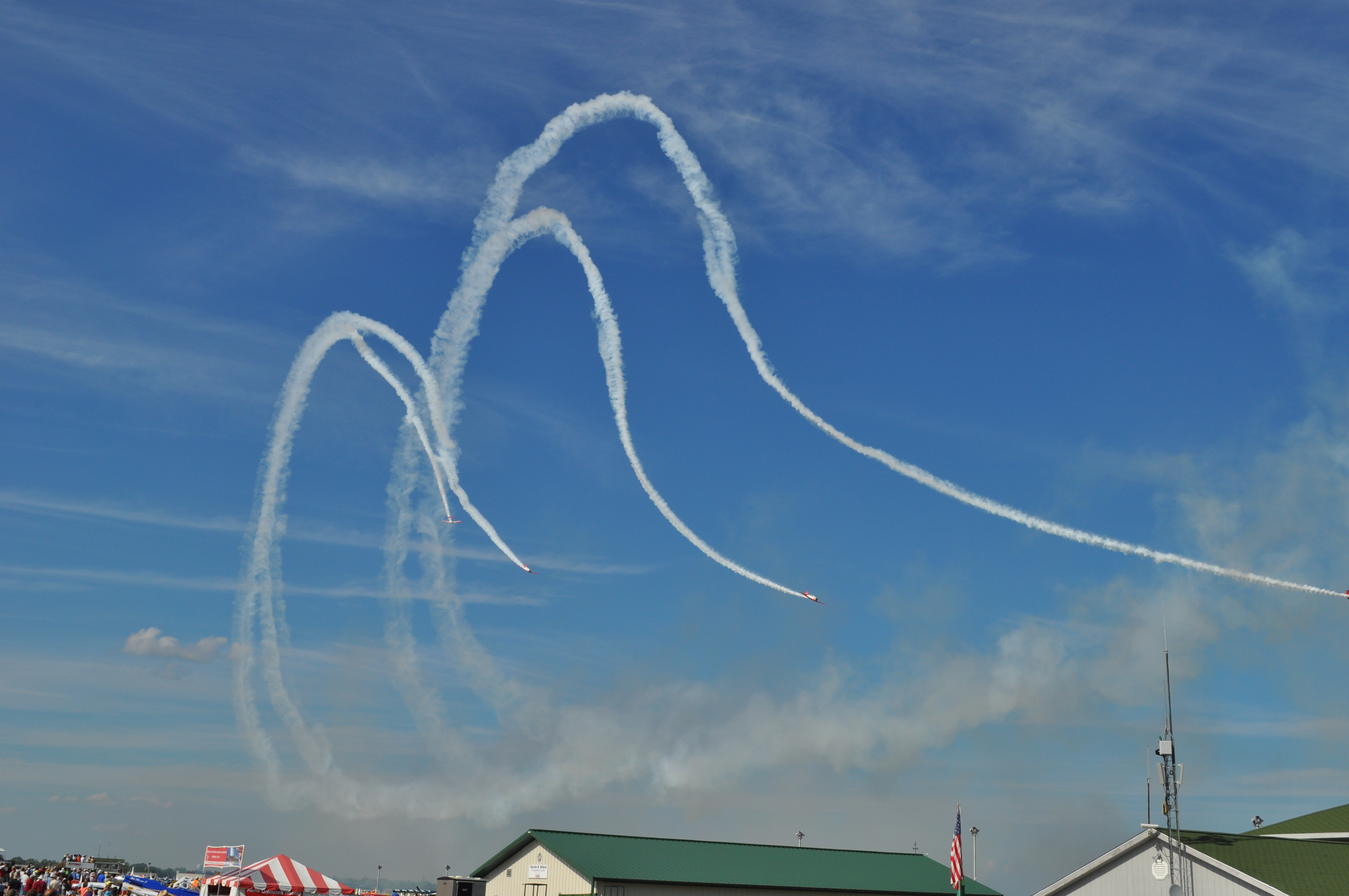
Sean Tucker's show airplane |
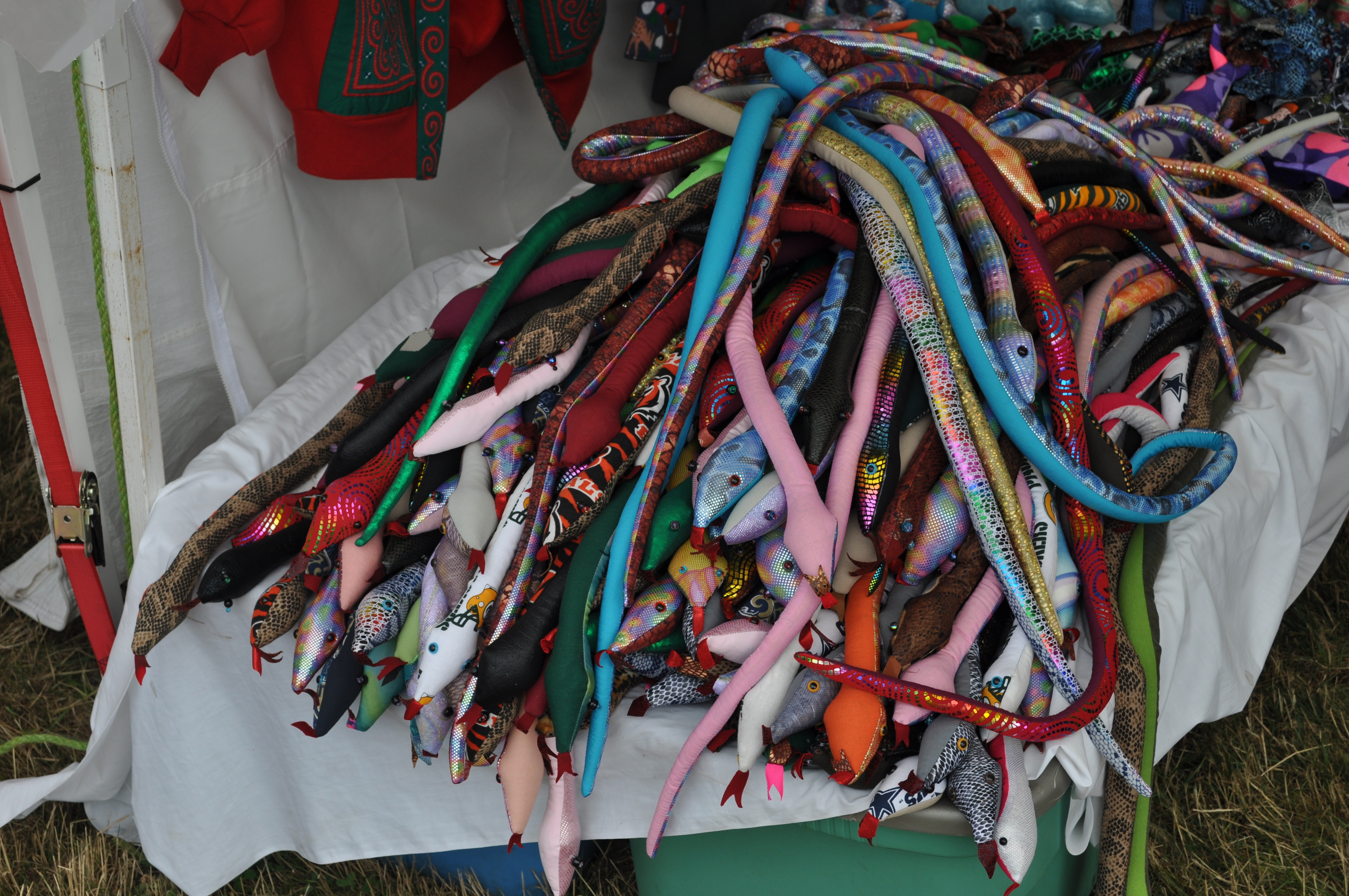
Need some snakes? Vendors will try to sell anything. |
|
|
|
|
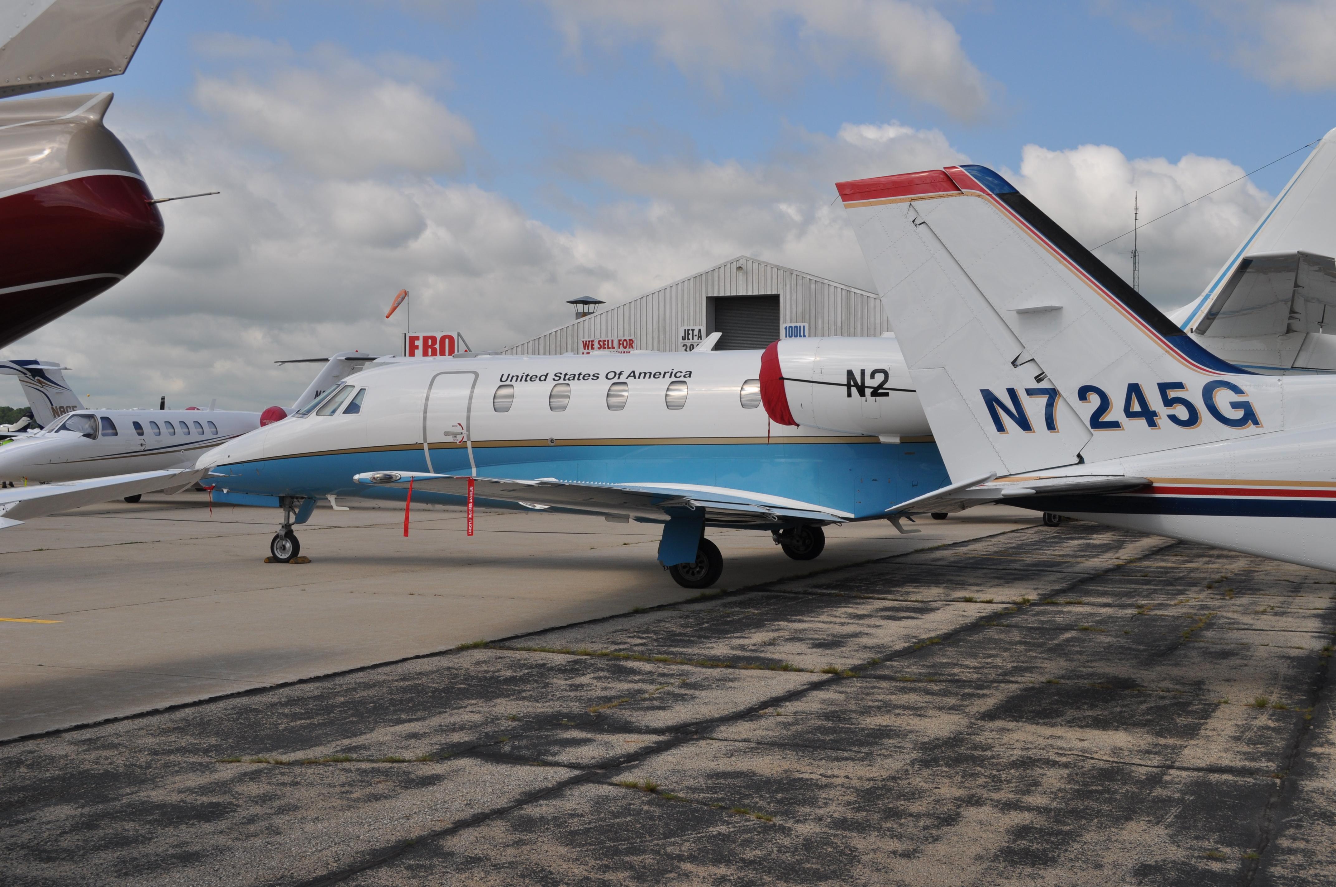
The FAA administrator flew in in this airplane. Nice tail number. |

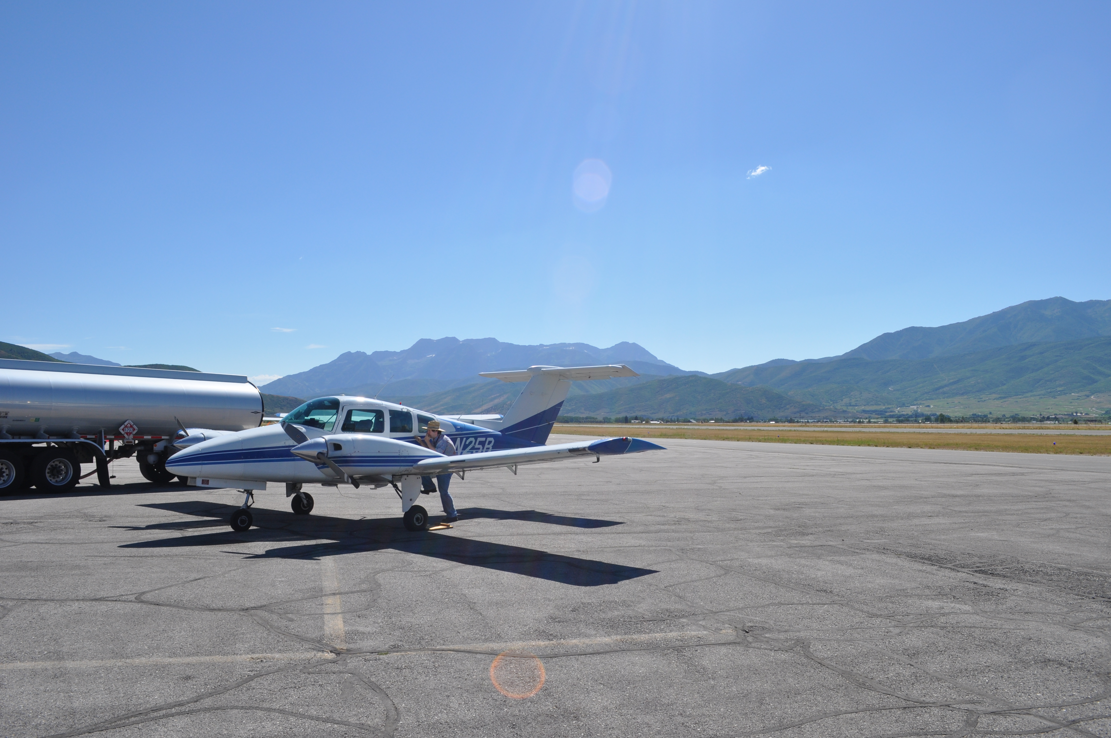
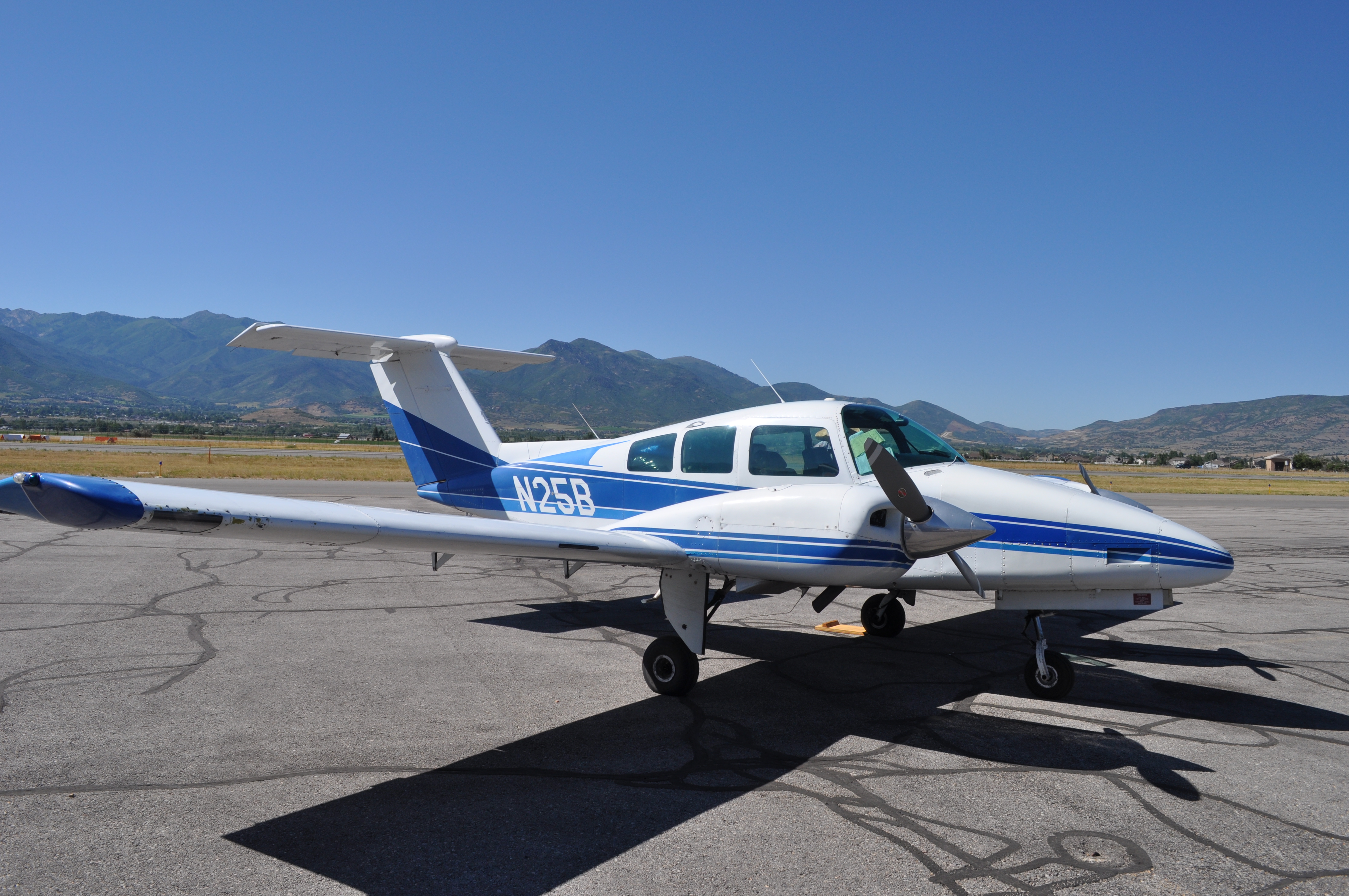
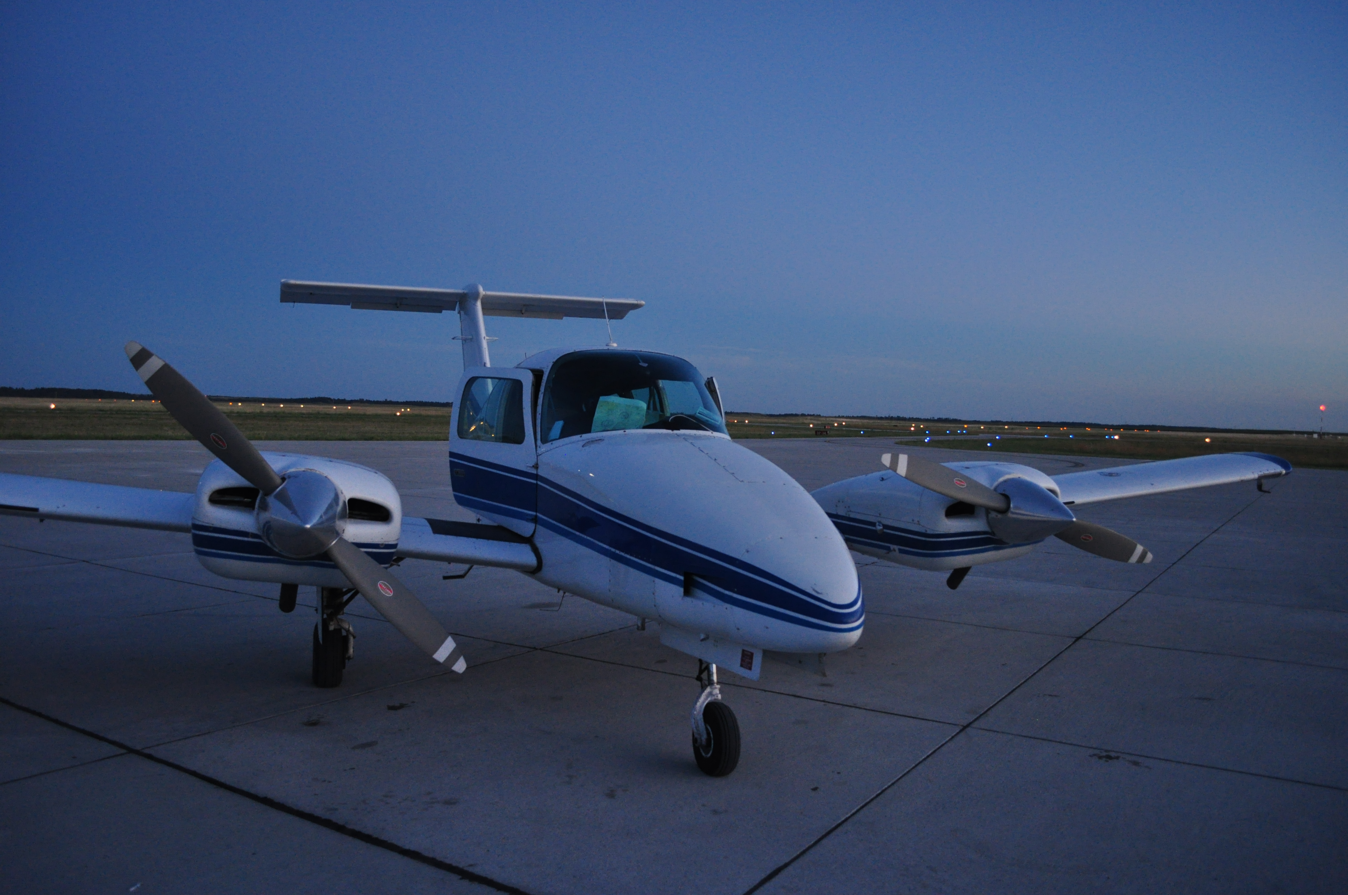
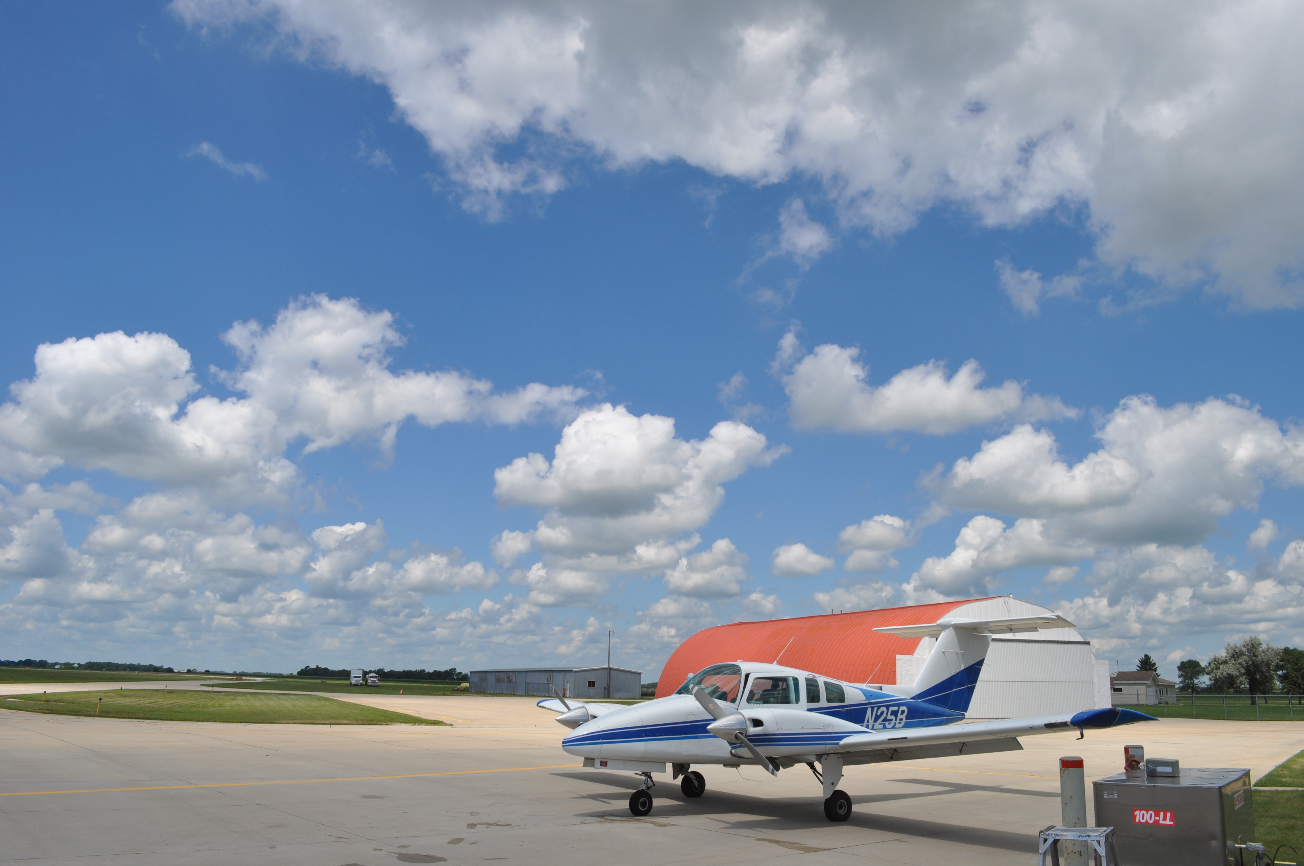
Our machine ready for the trip home. |
|
|
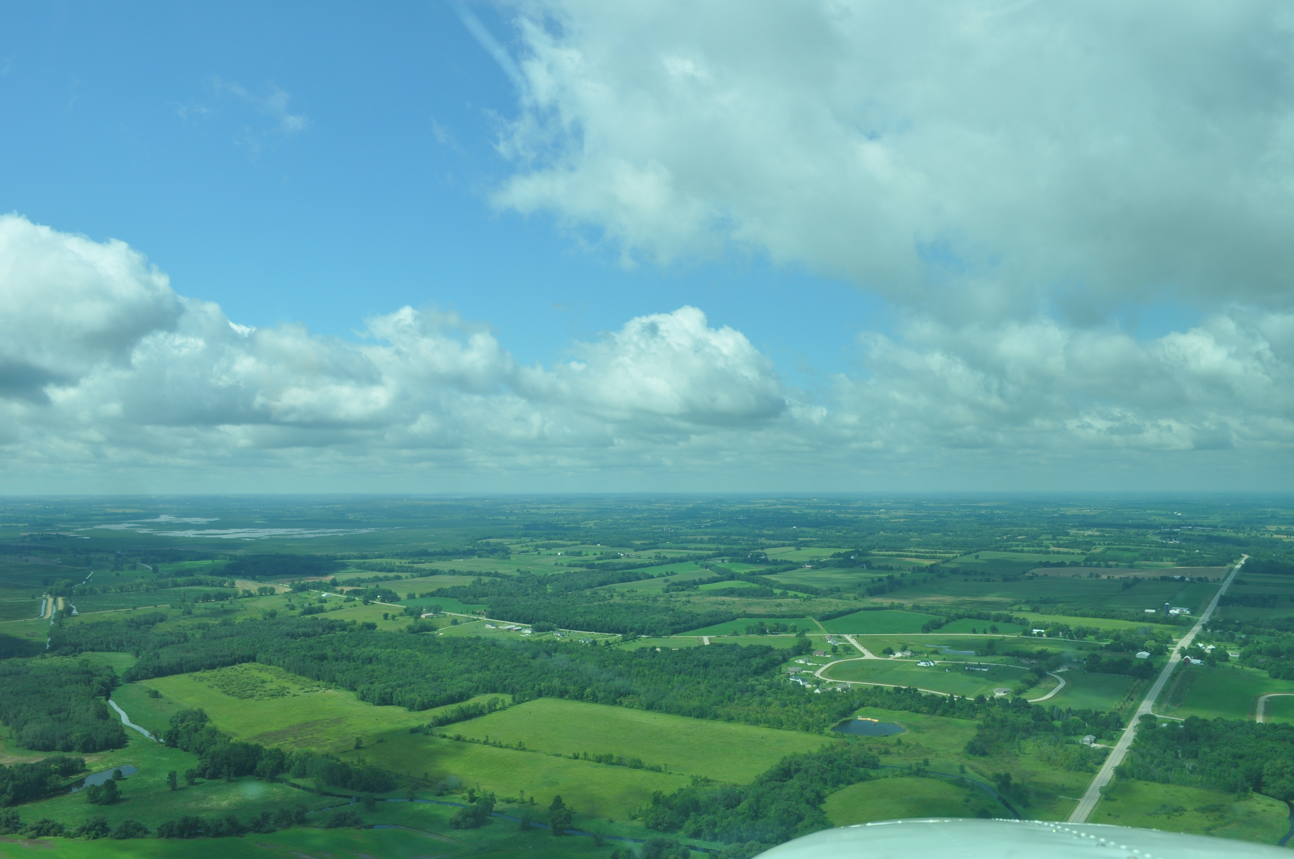
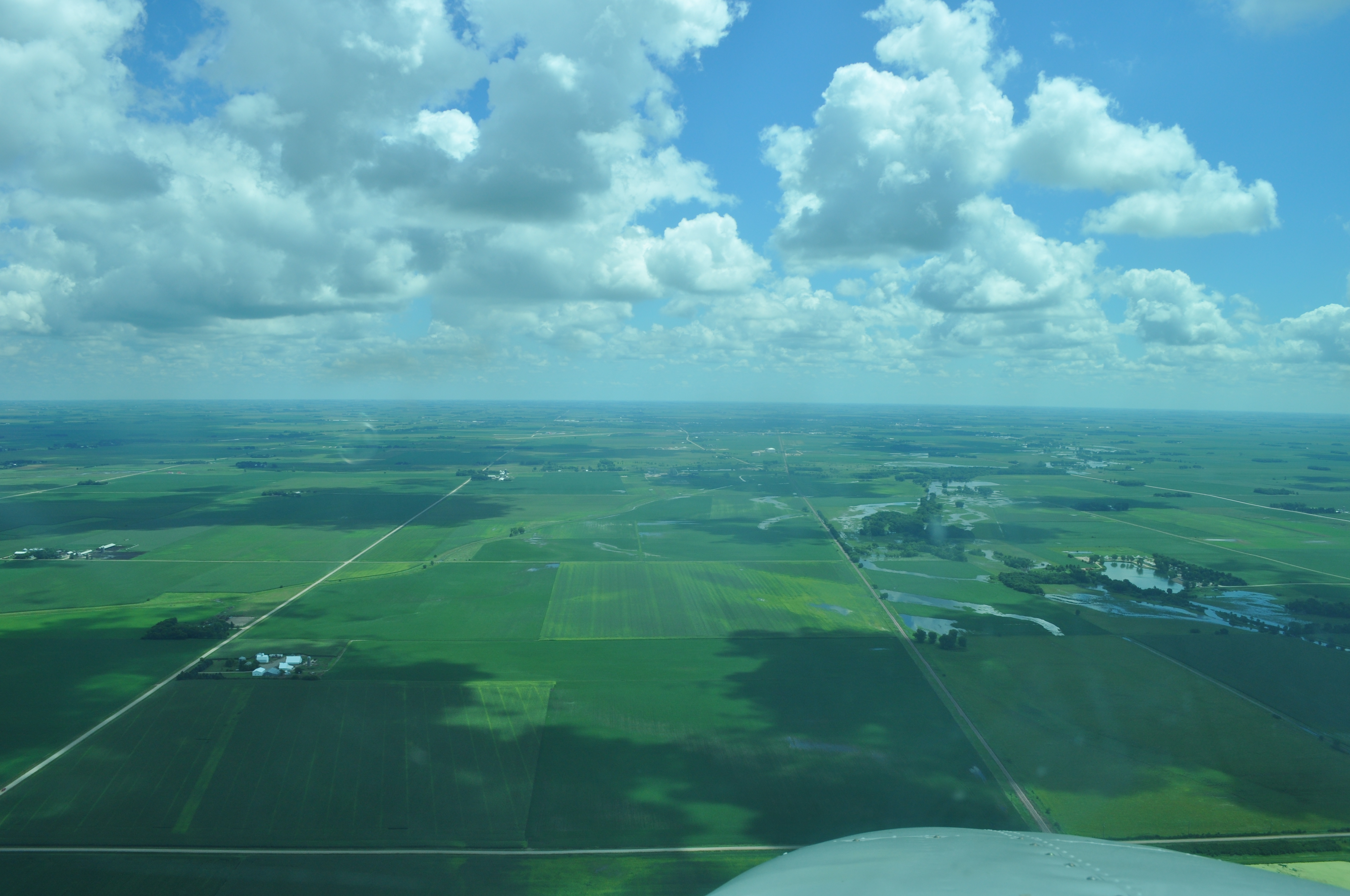
Wisconsin is so green. |
|

|
|
|
Free hot dogs and soda at Yankton, SD. That was key! Would go there again. |
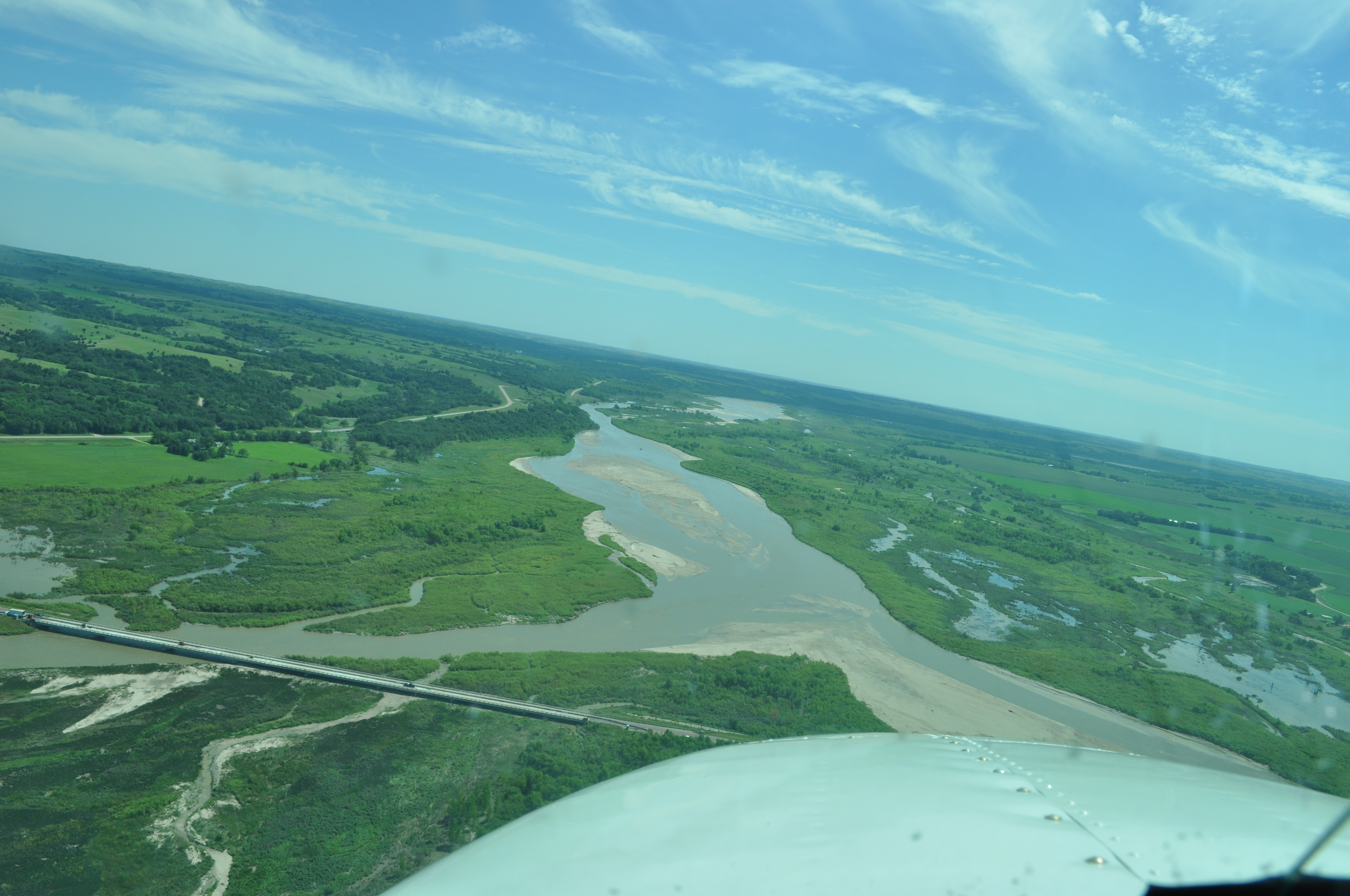
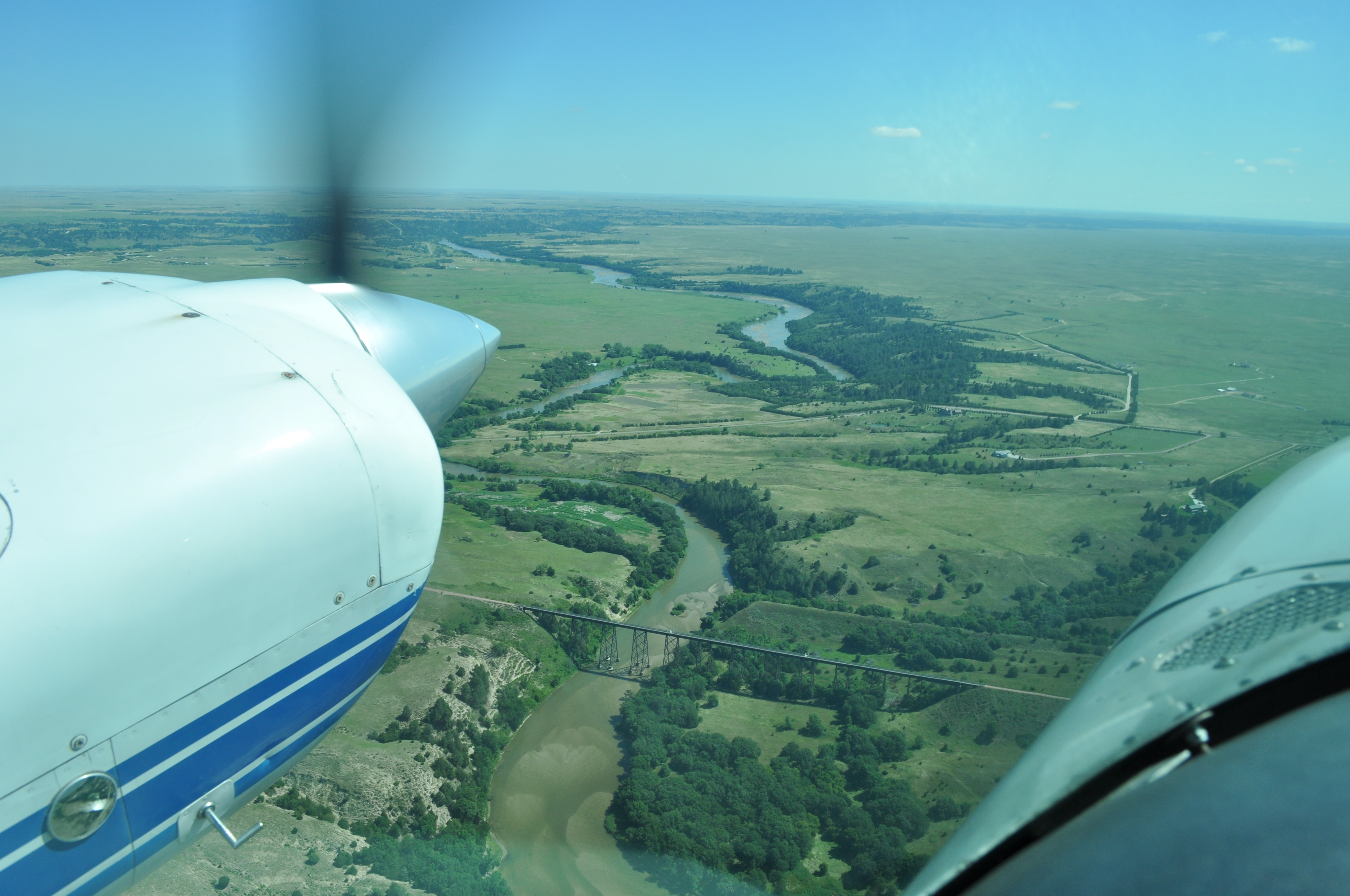
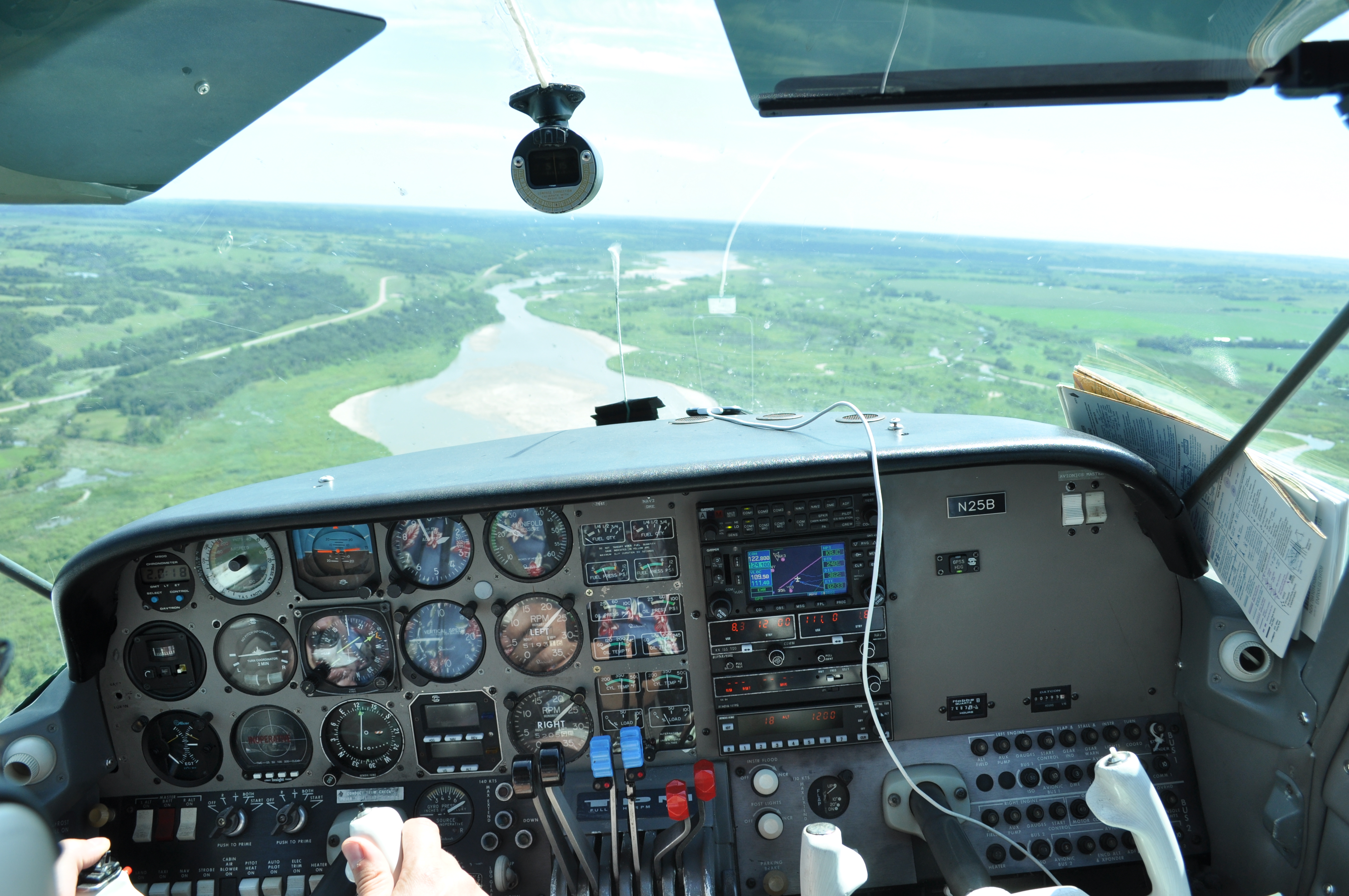
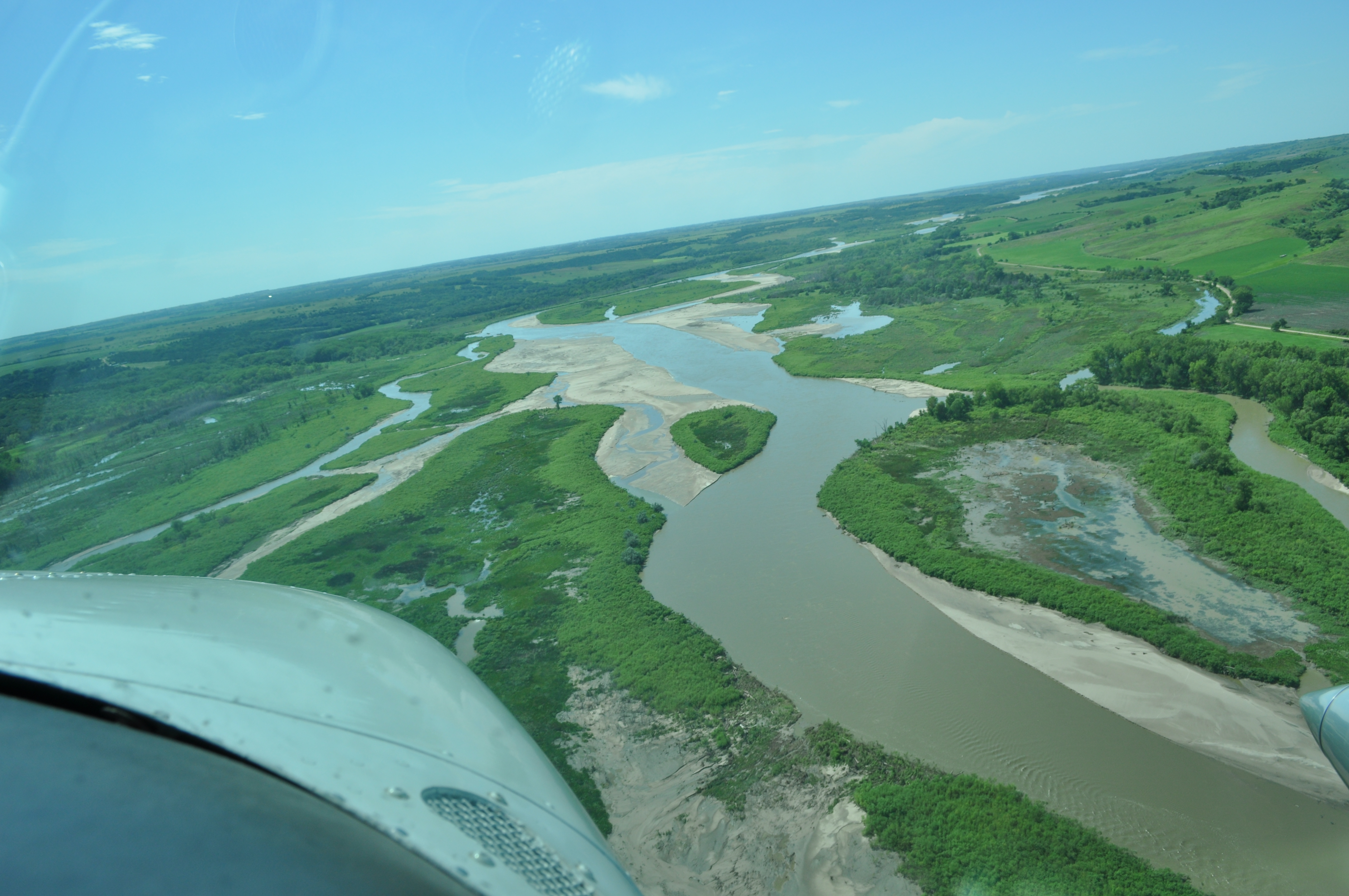
Some low level flying over a deserted portion of the Niobrara river. |
|
|
|
|
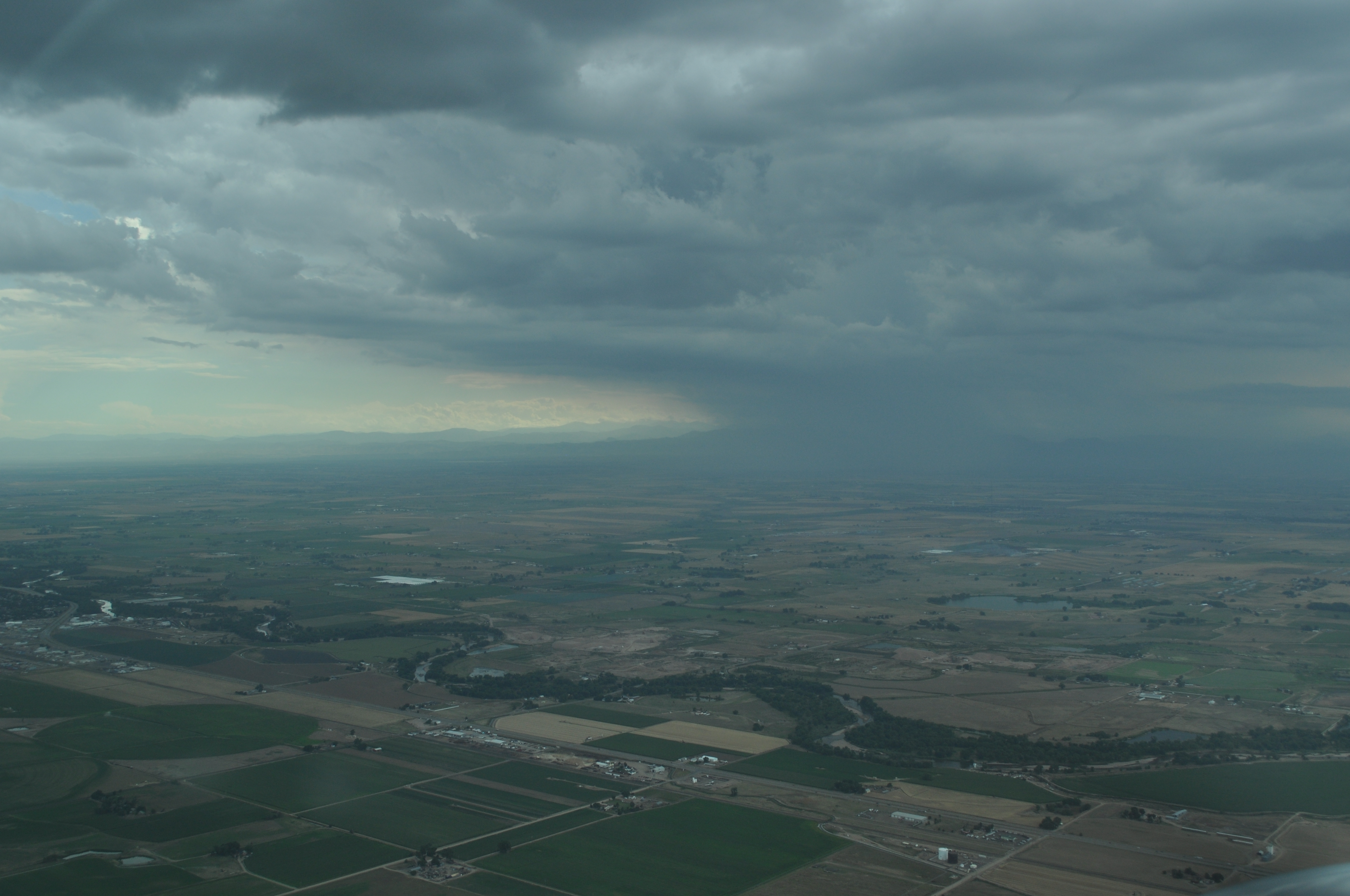
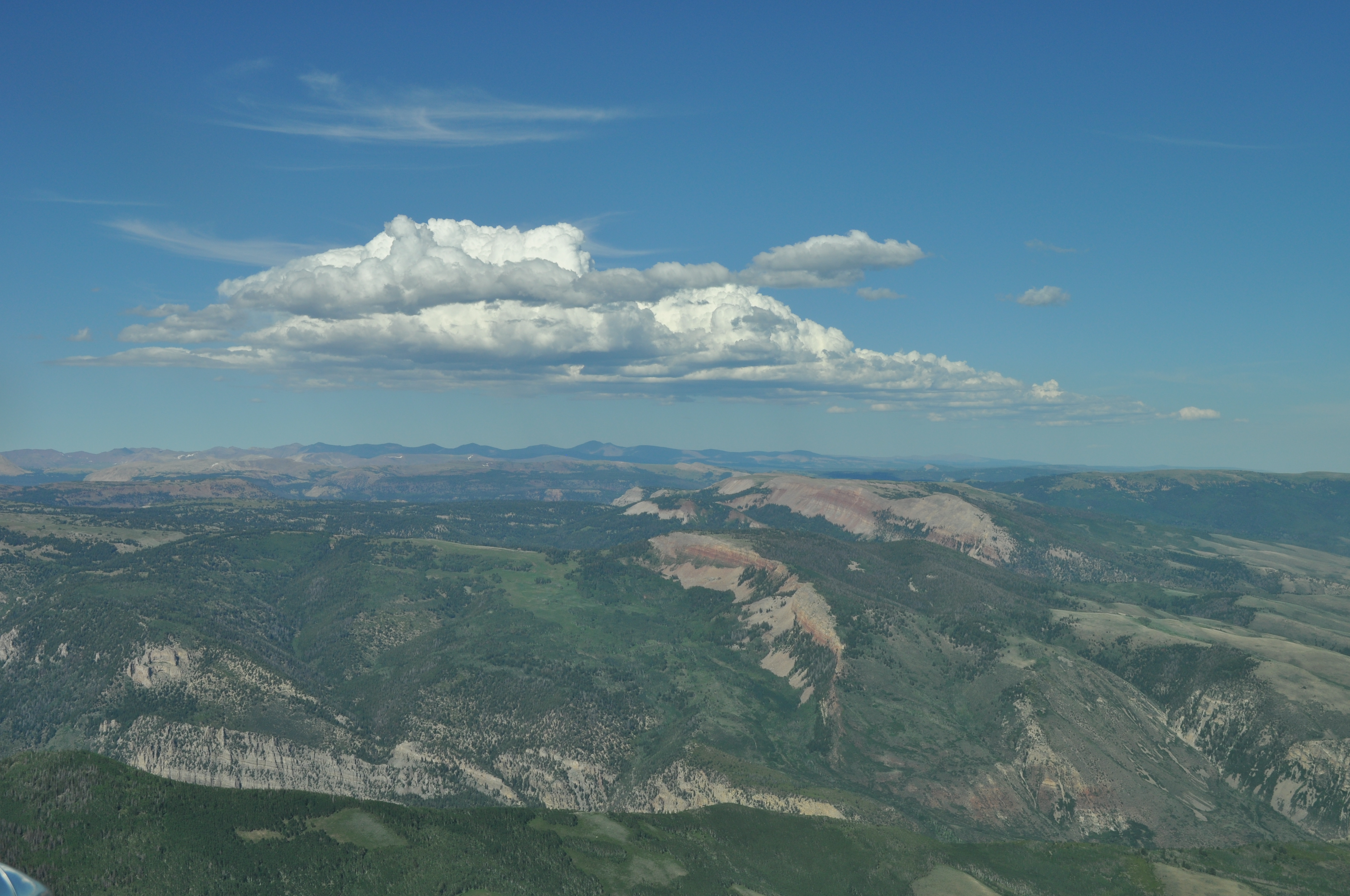
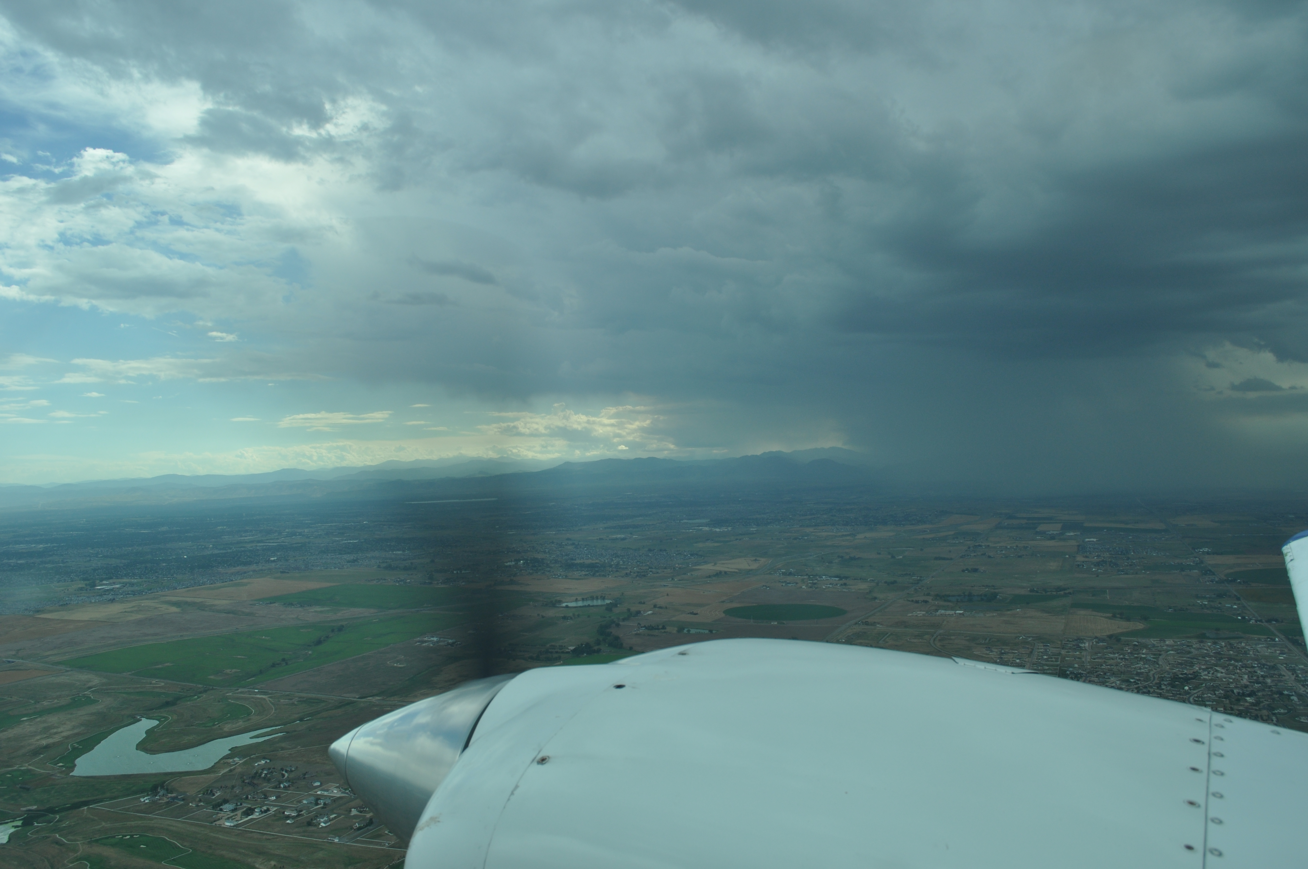
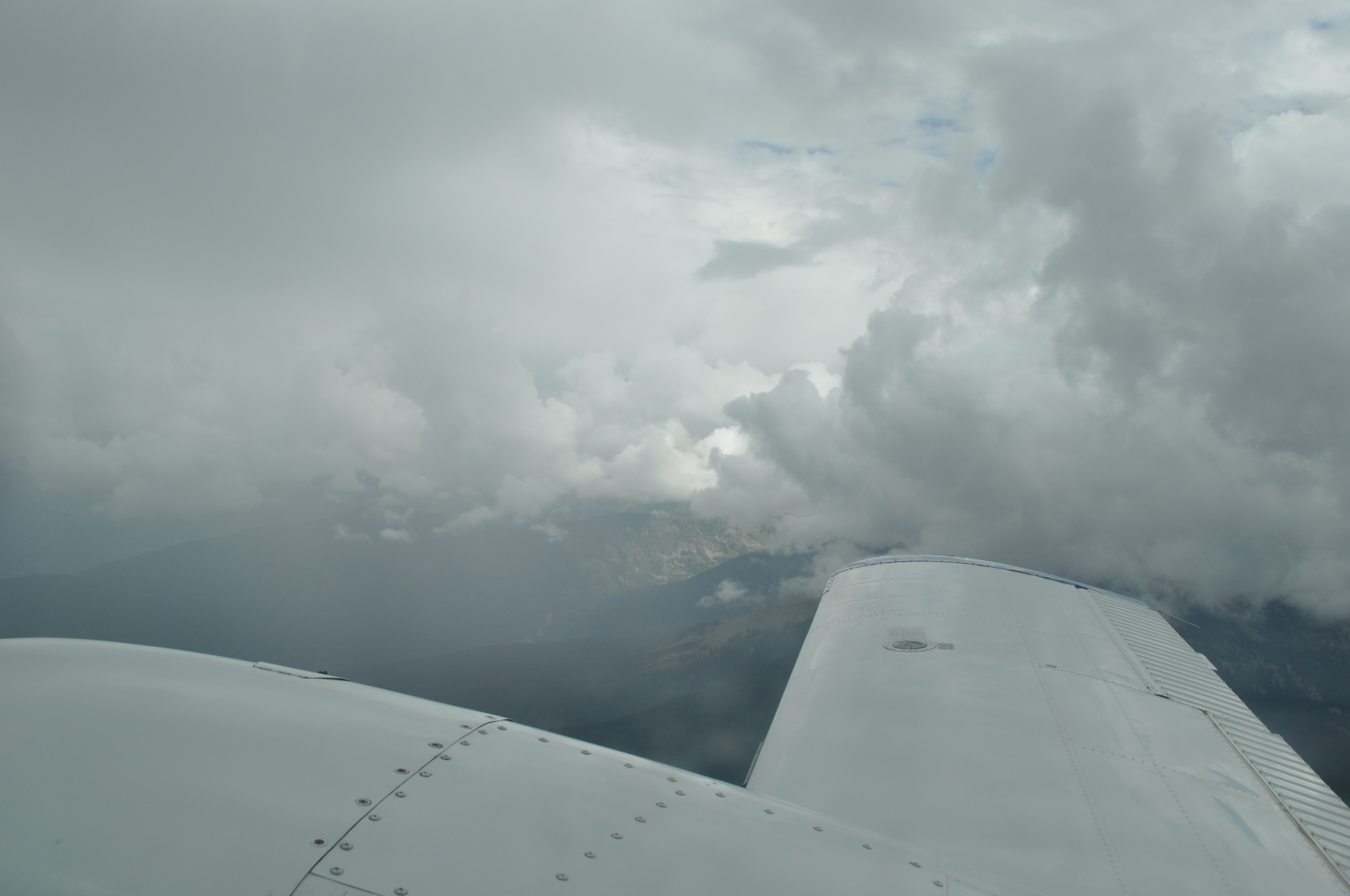
A storm just north of our course as we approach Denver. |

|
|
|
|
|
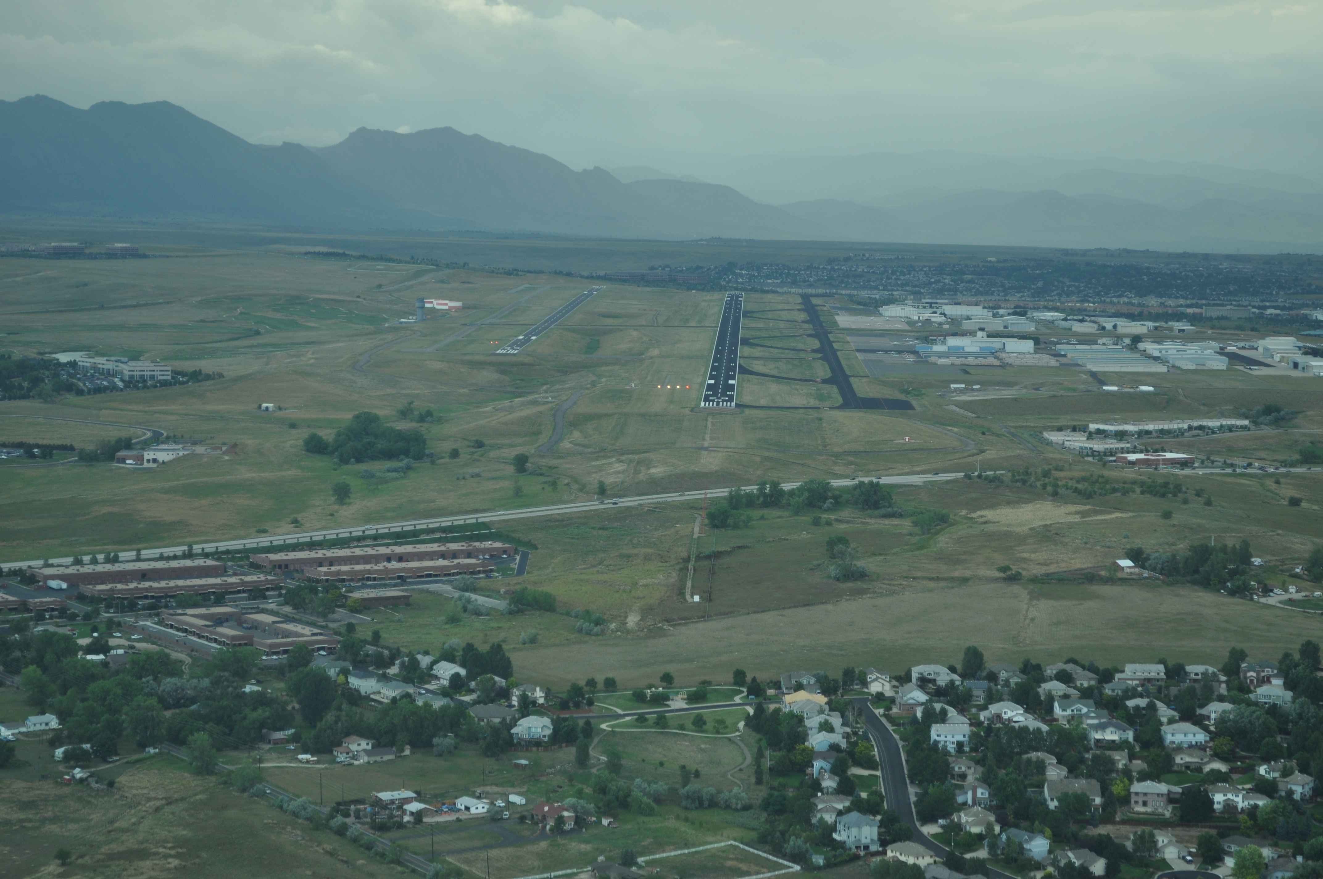
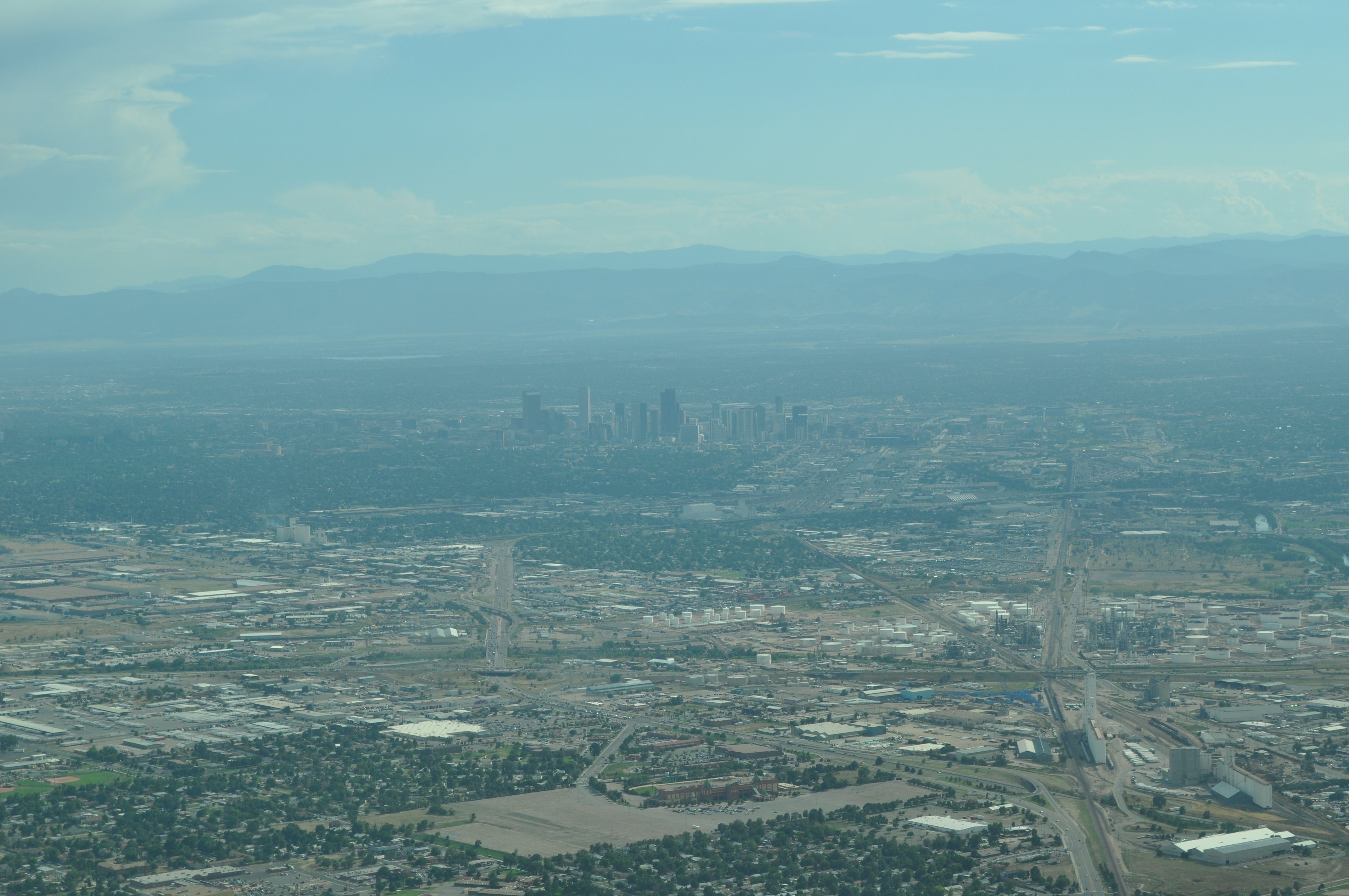
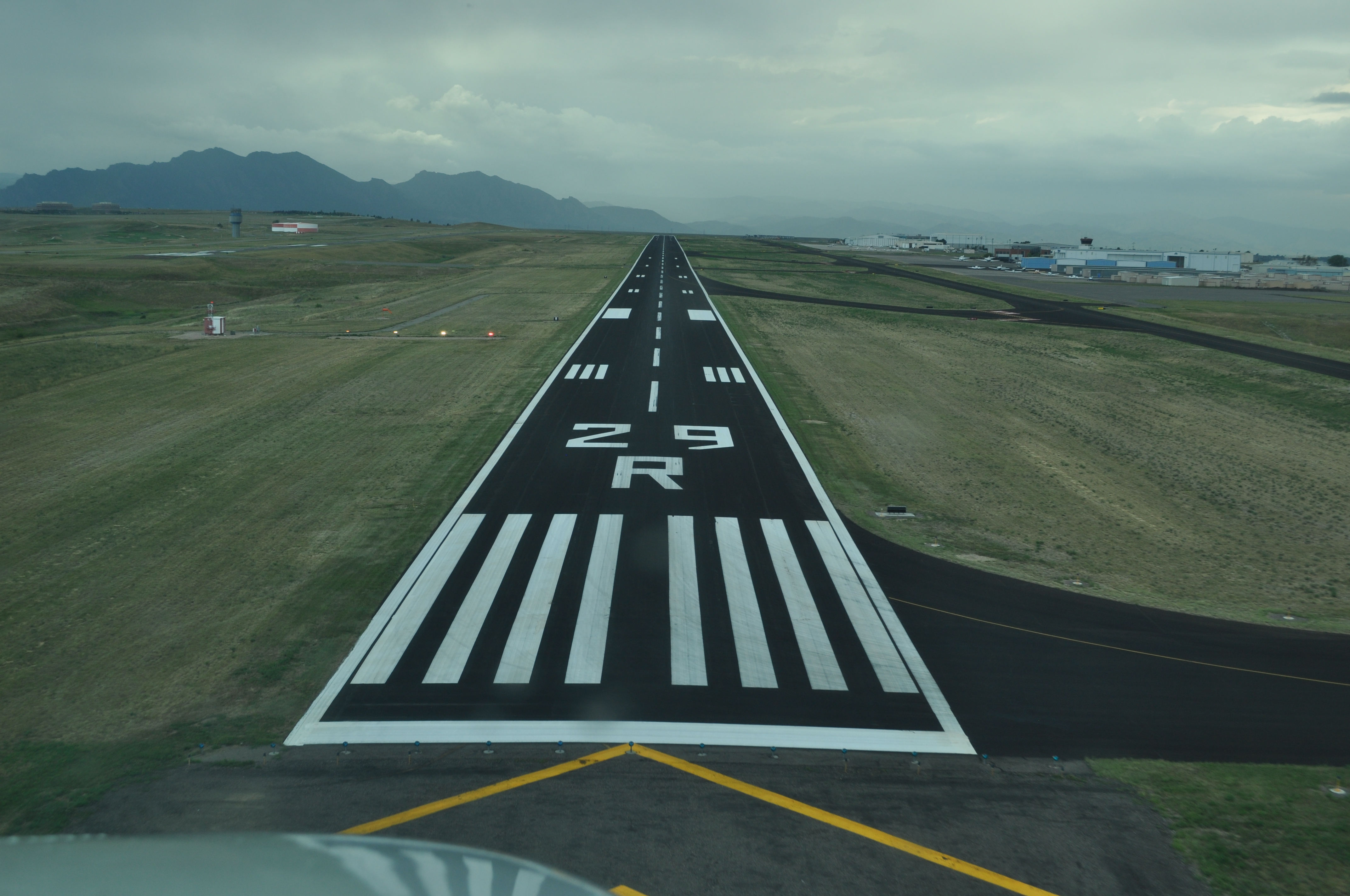
Final approach at Rocky Mountain airport (formerly Jeffco). |
|
|
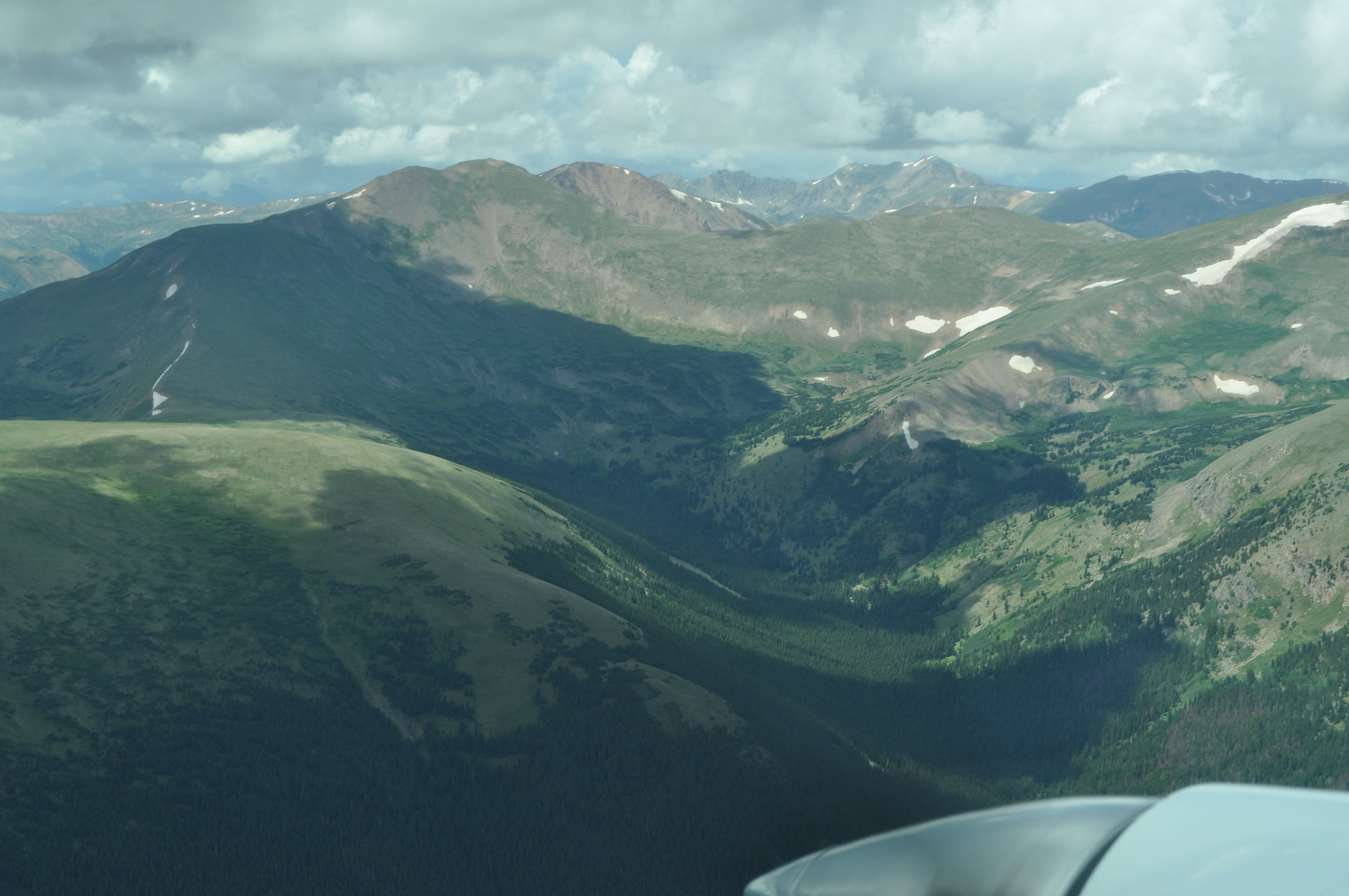
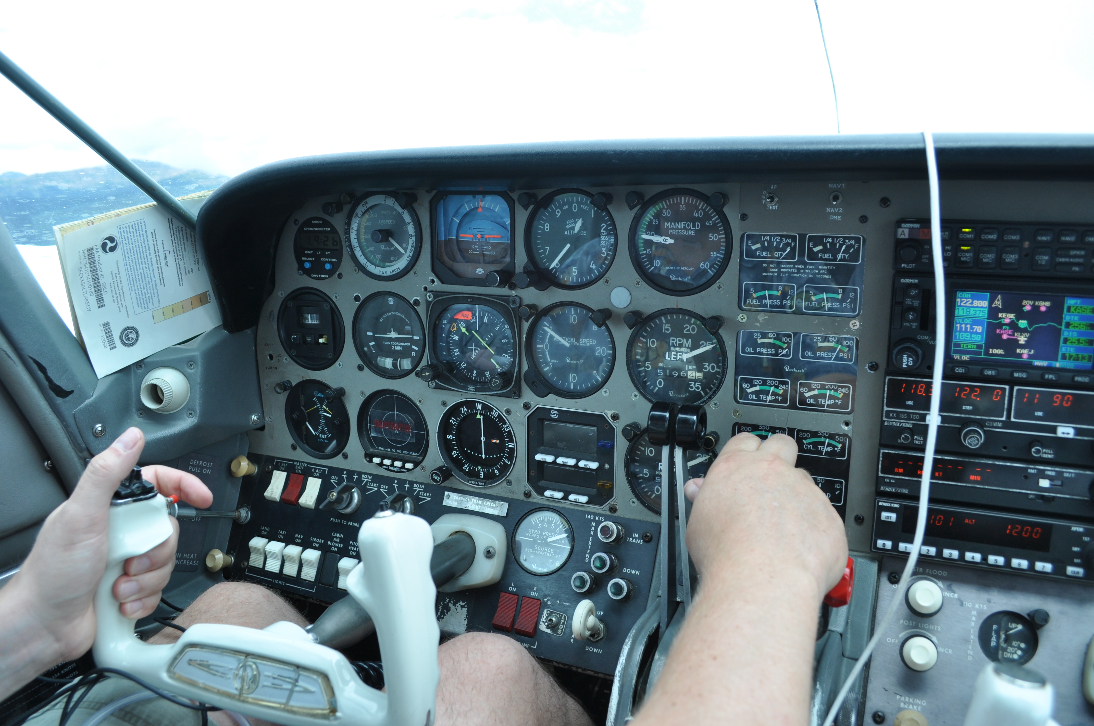
Climbing through 12,800 with a nice updraft after departing Rocky Mountain the next day. |
|
|
|
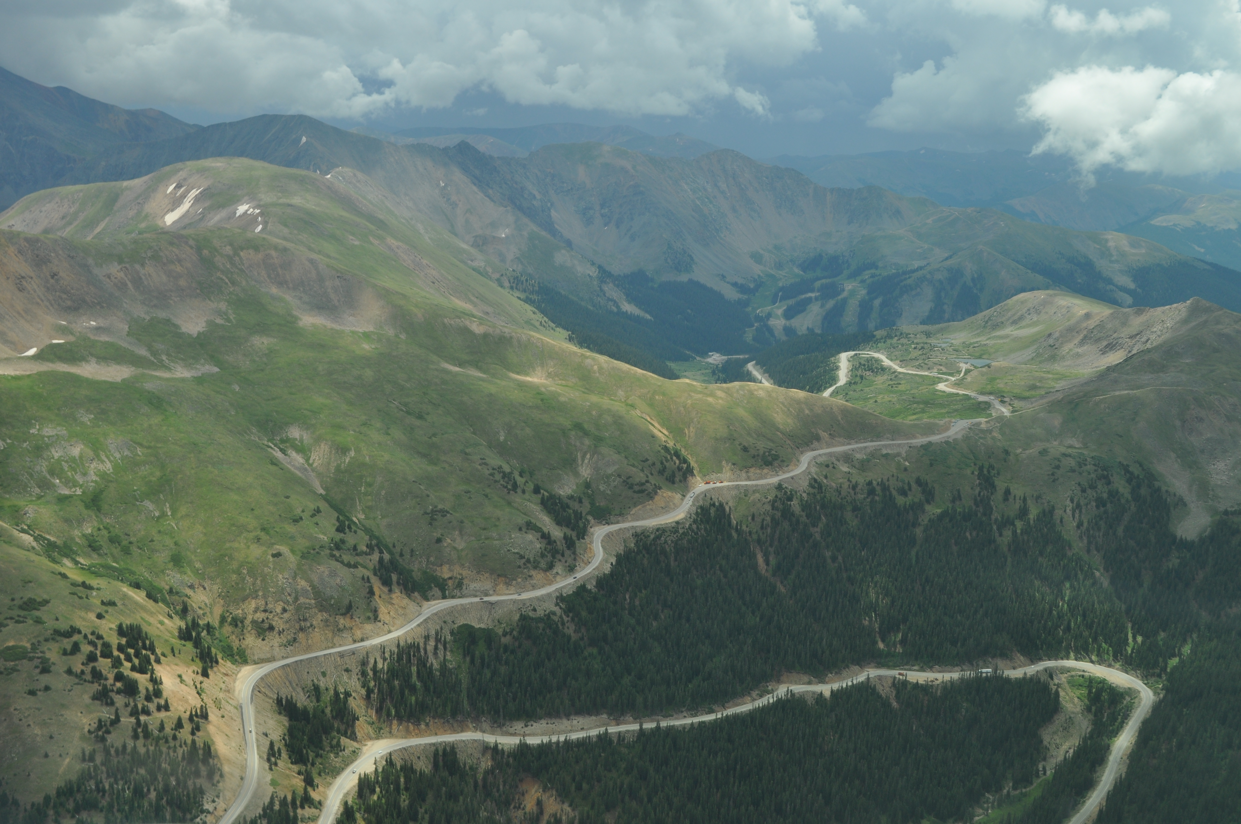
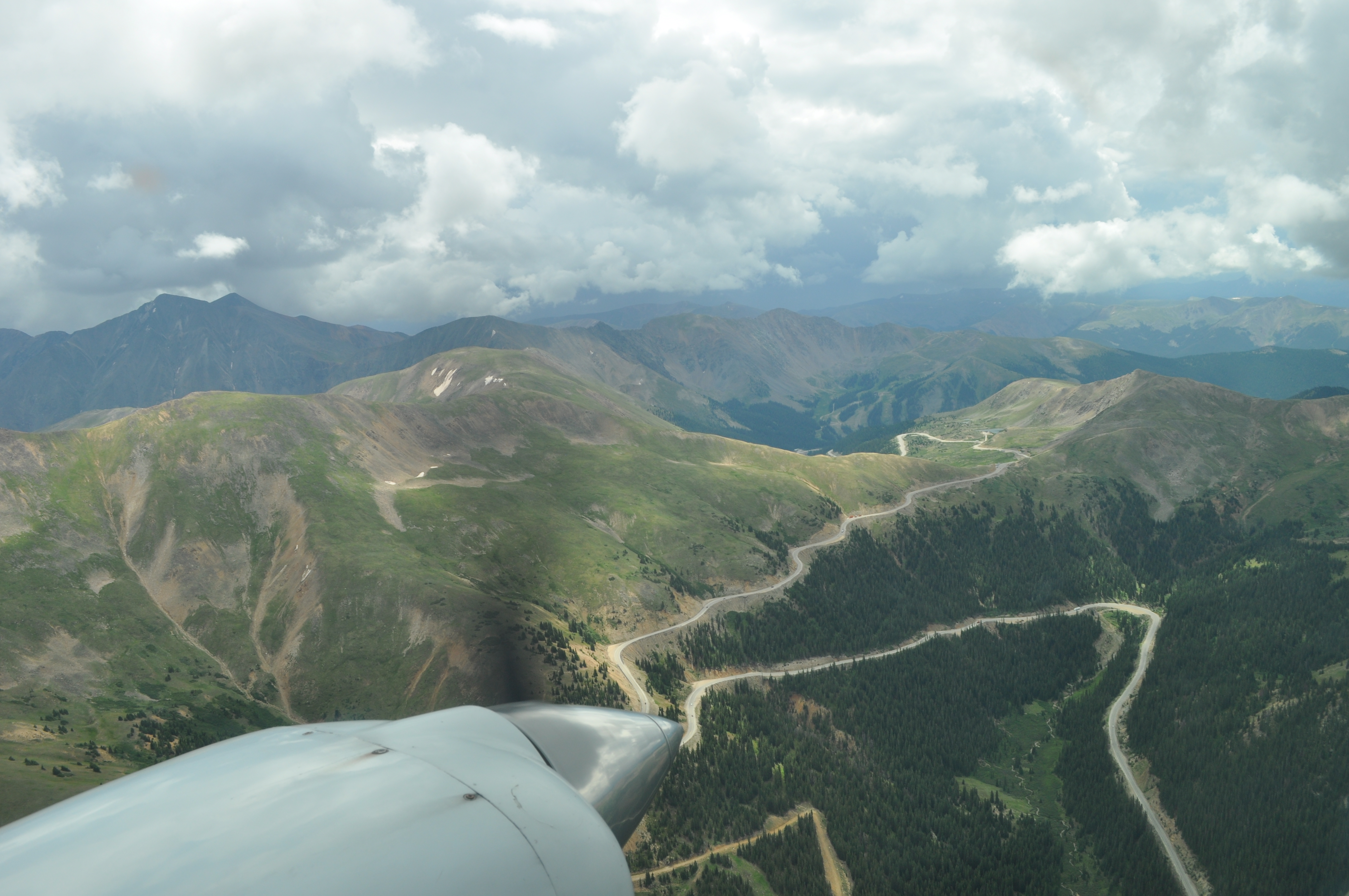
We followed highway 70 west until it went into the tunnel, and then followed highway 6. This is highway 6 climbing towards Keystone in the background. |
|
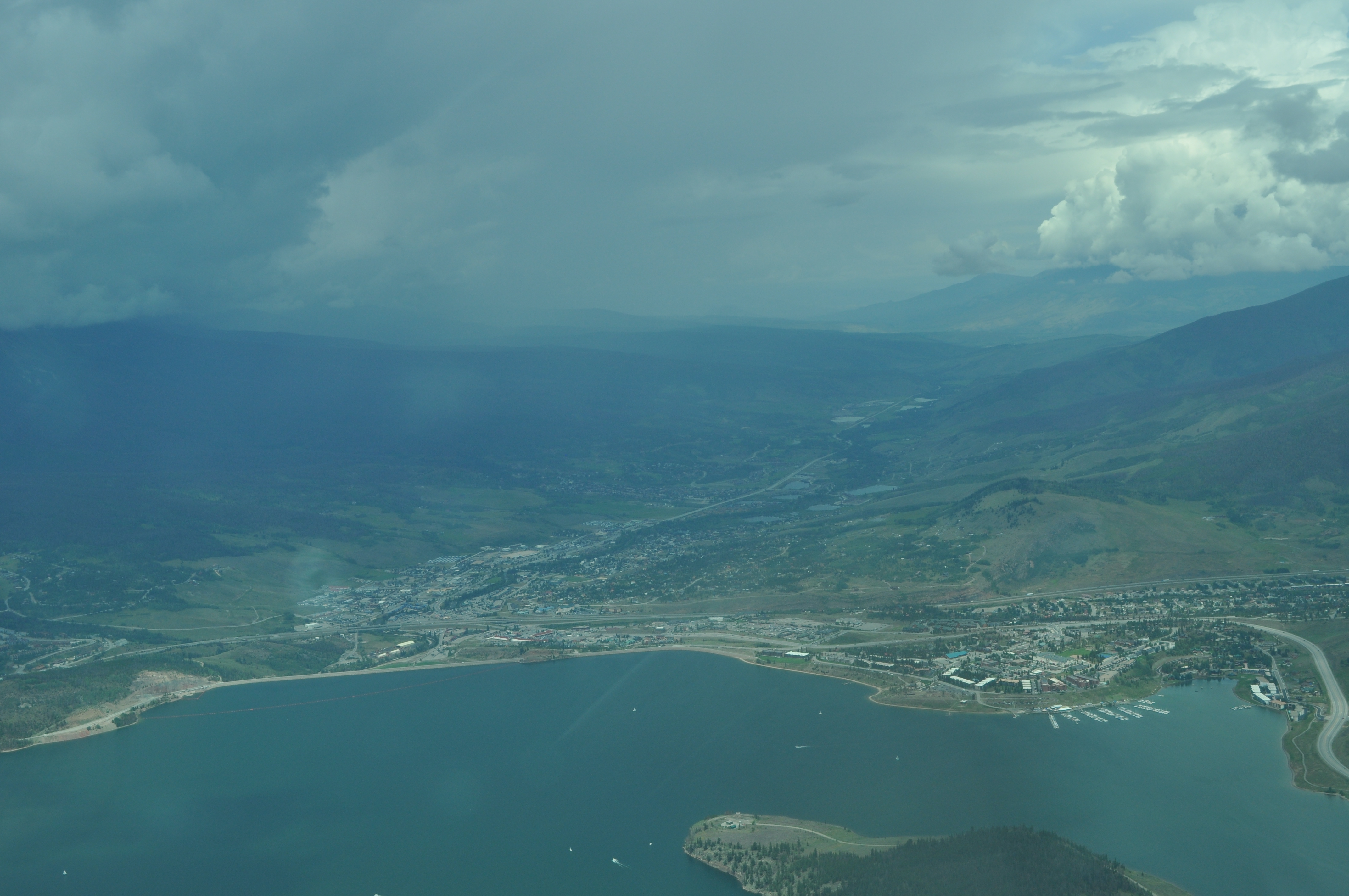
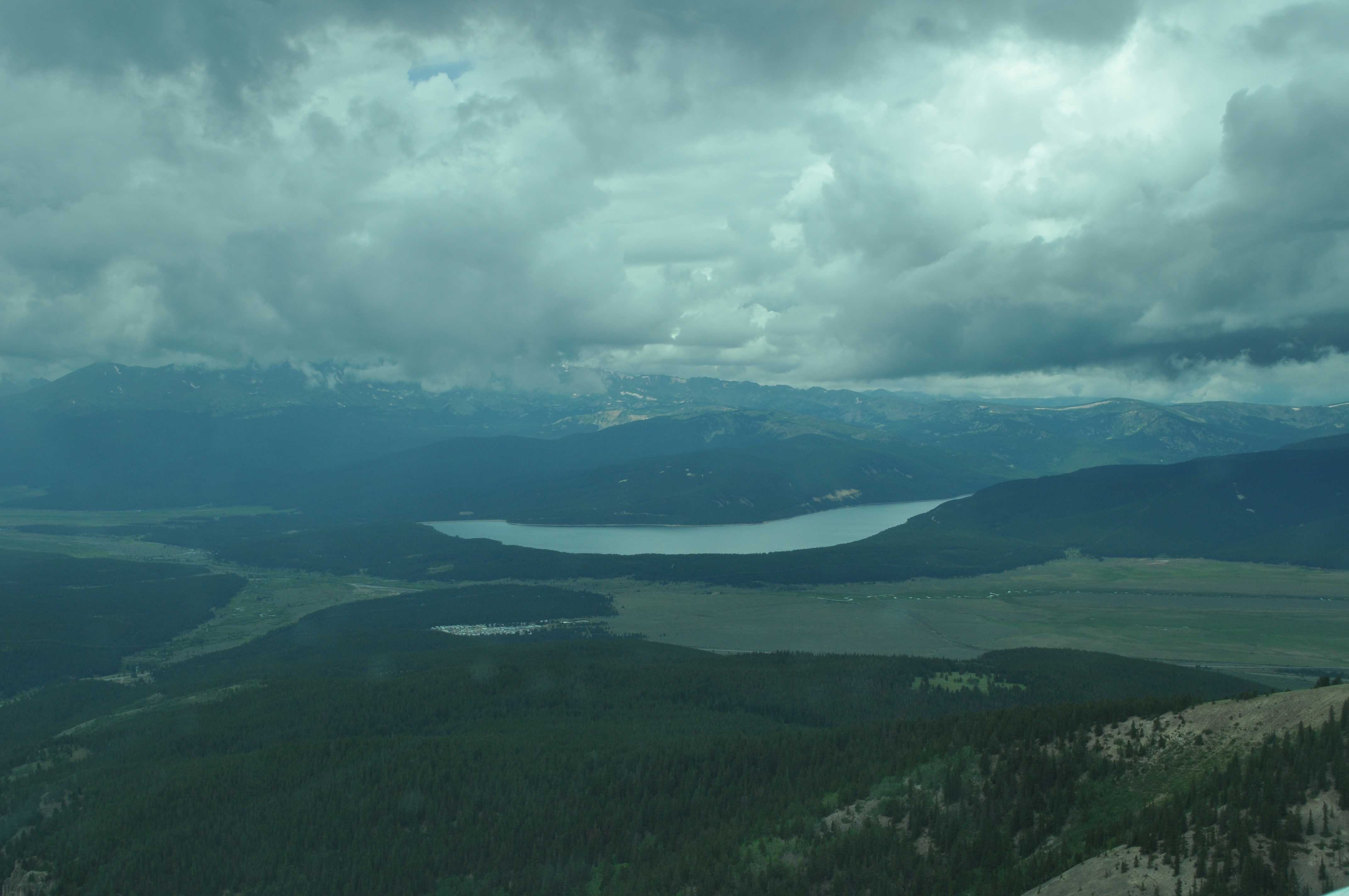
Dillon reservoir |
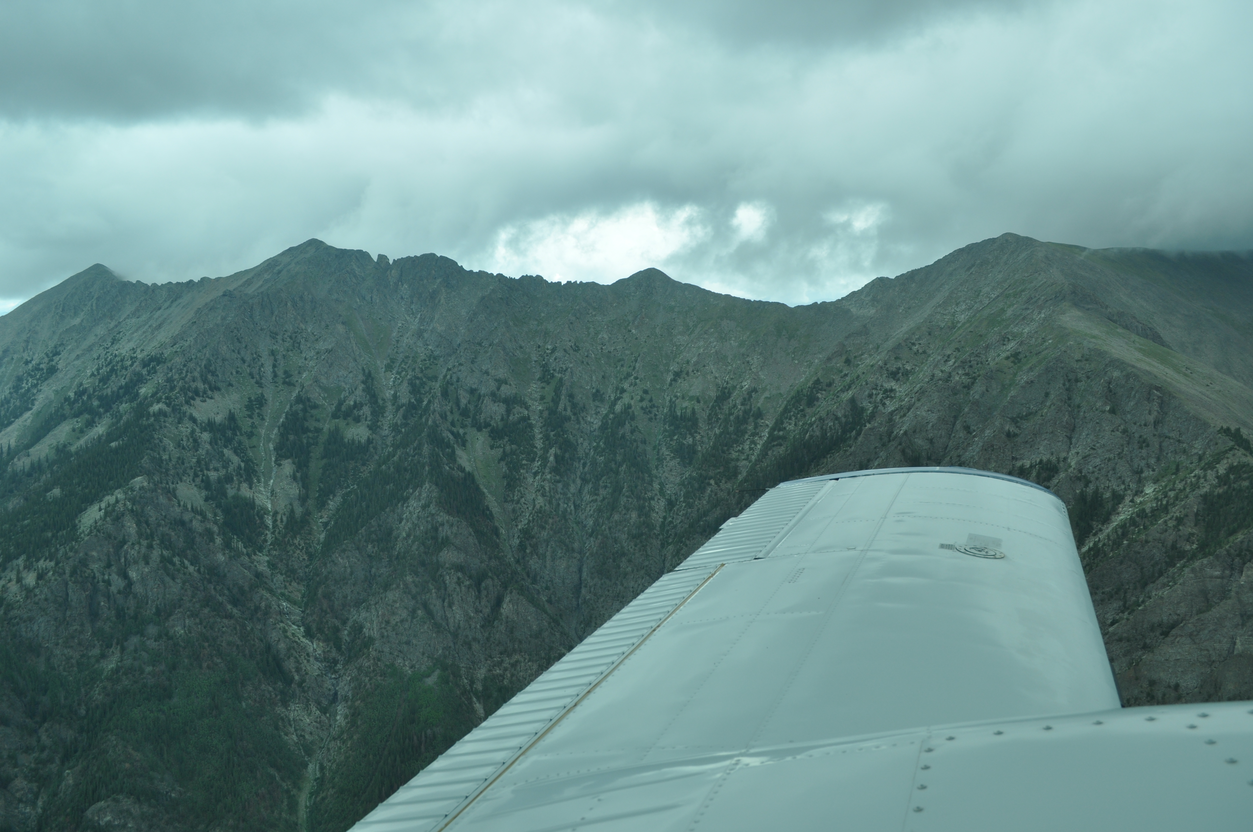
Tenmile Peak (12,933 above sea level) |
|
|
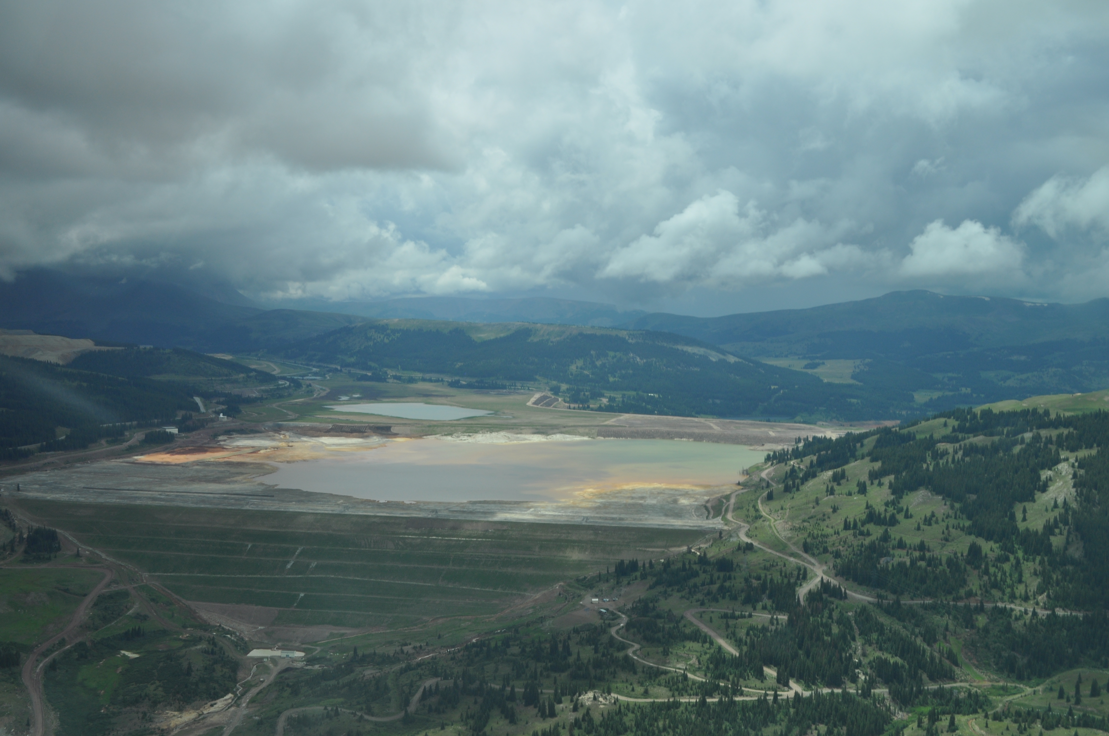
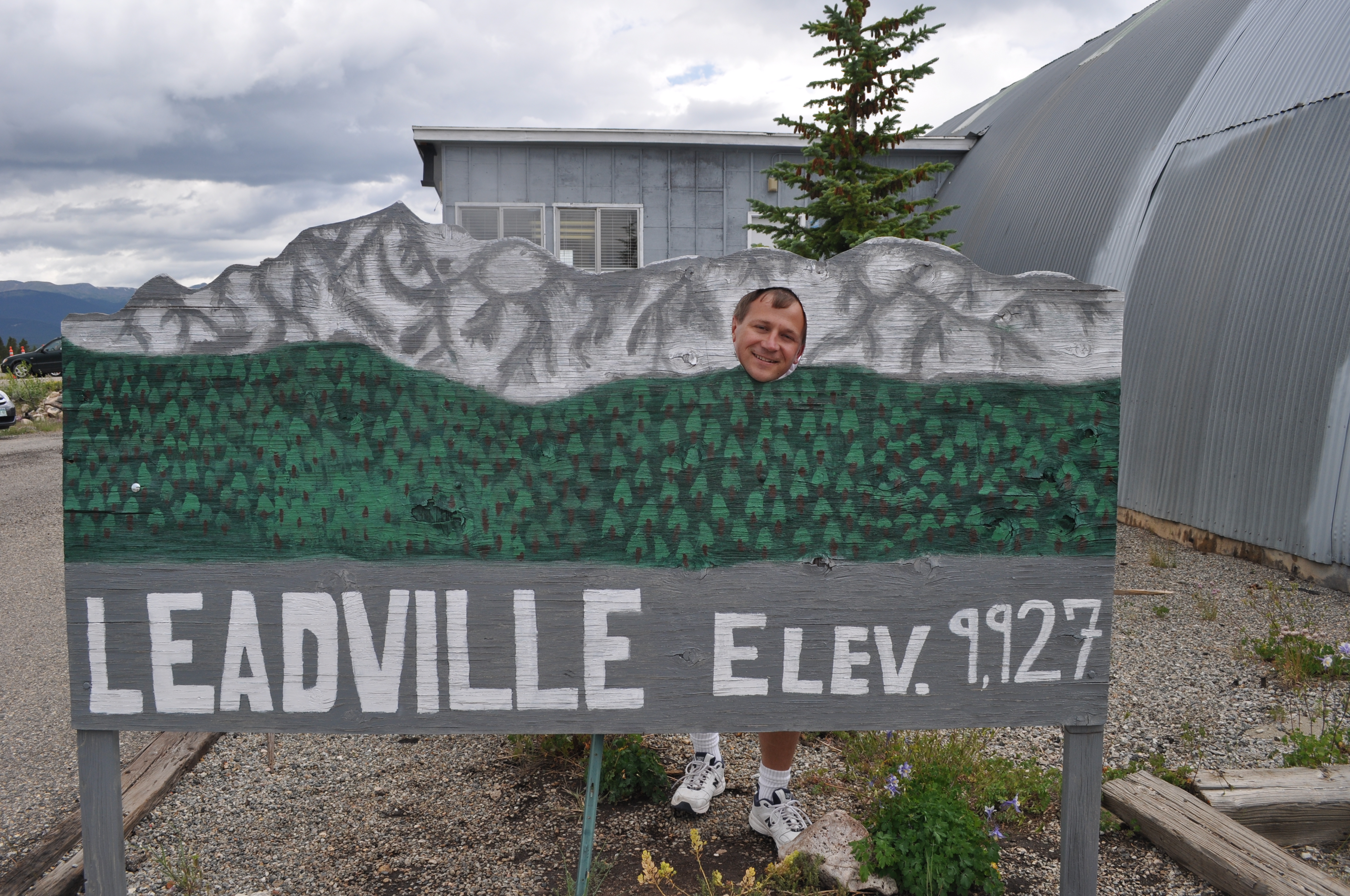
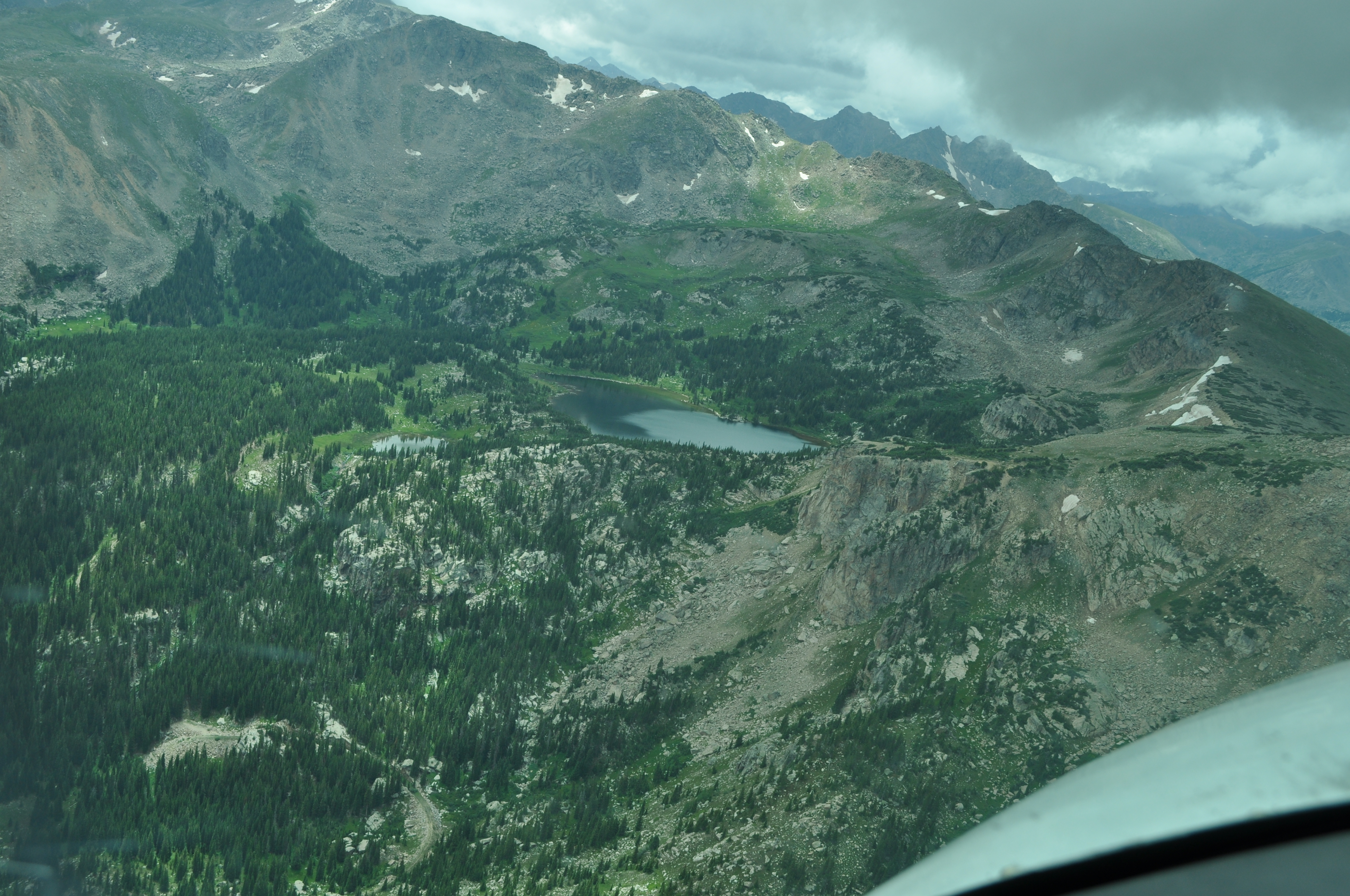
Turquoise Lake near Leadville, CO |
|
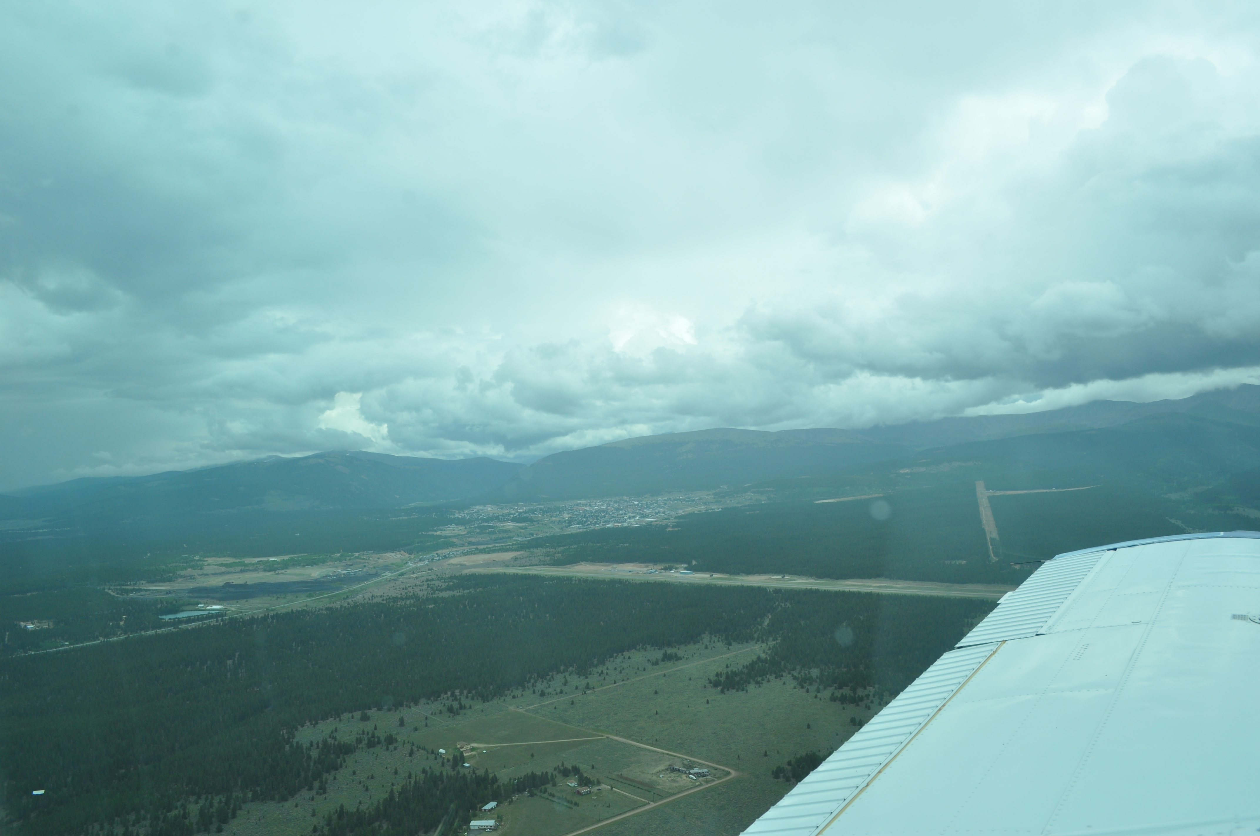
Downwind for landing on runway 34 at Leadville, CO |
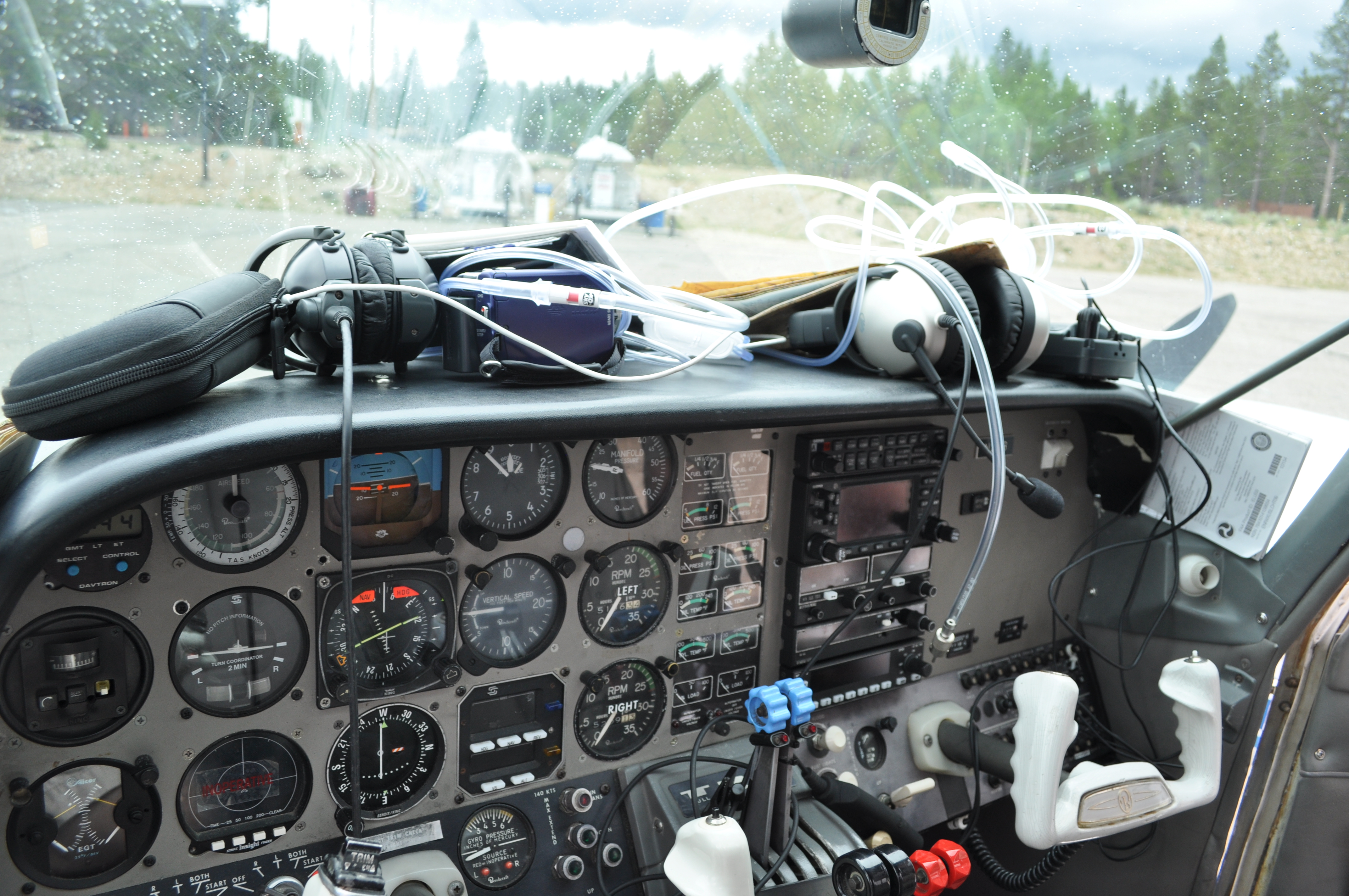
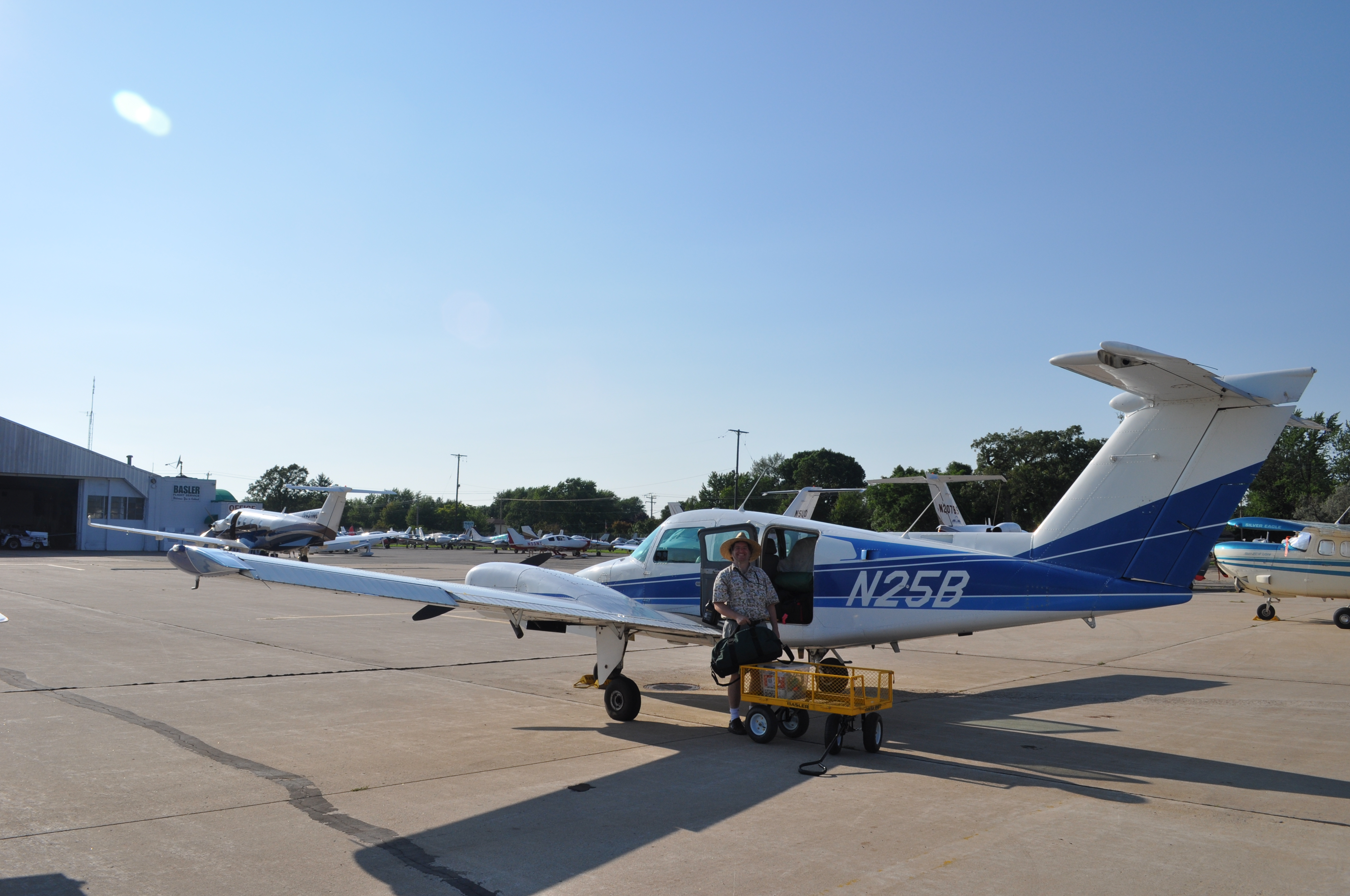
Way too much crap! |
|
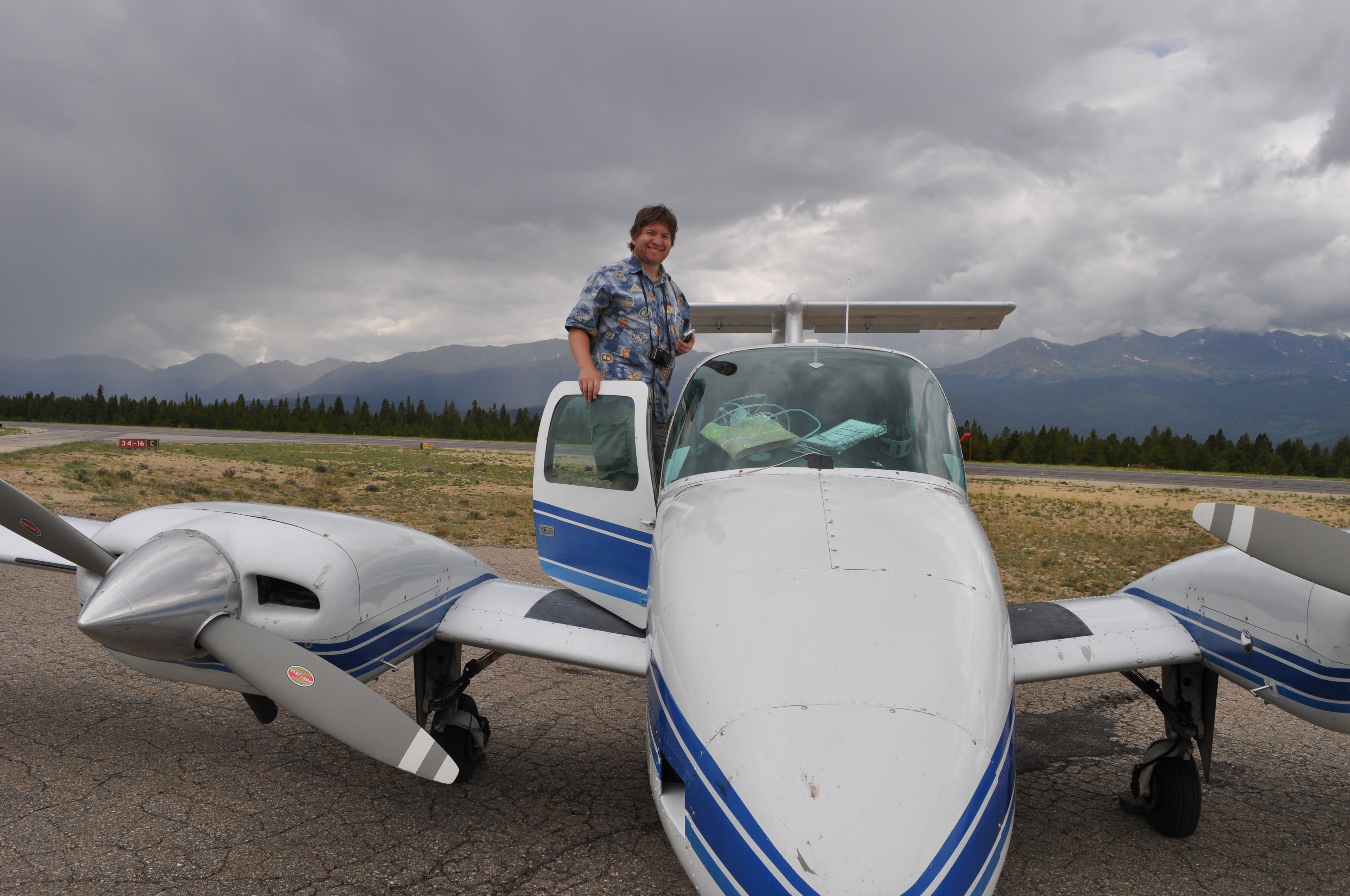
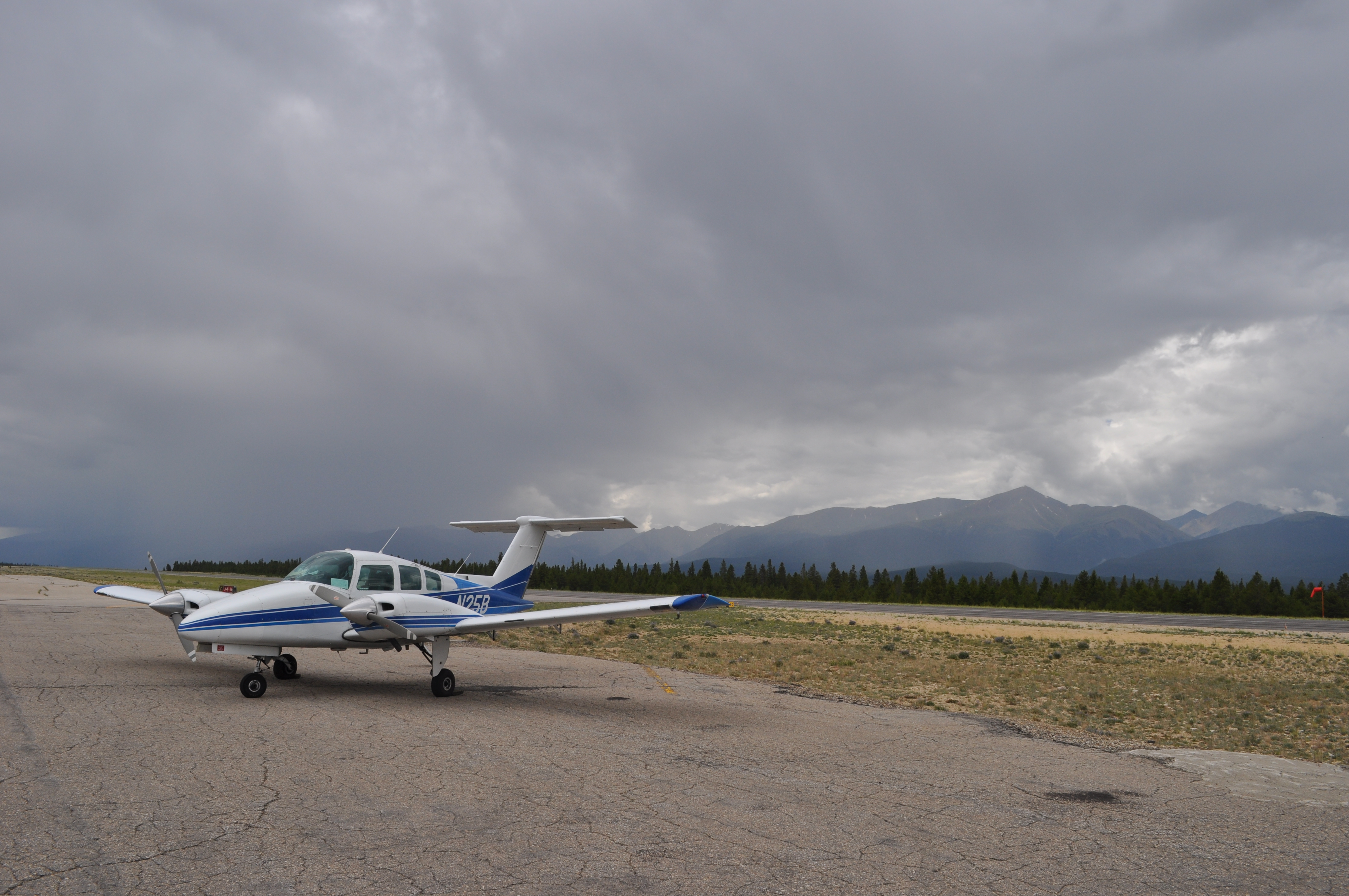
On the ground at Leadville, CO, the highest airport in north america. |
|
|
|

|
|
Taking off from Leadville we were getting a decent 4-500 foot per minute climb. |
|
|
|
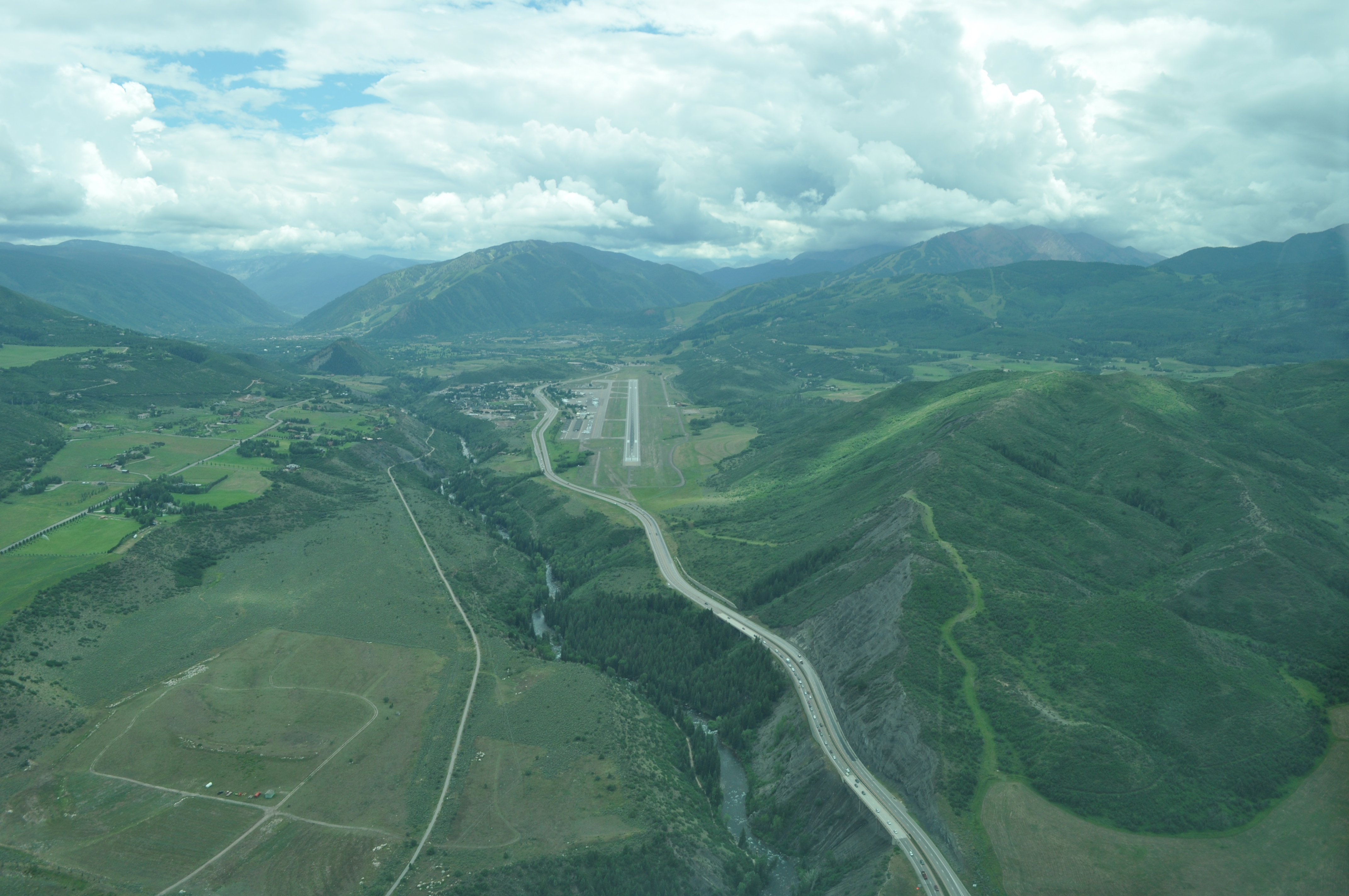
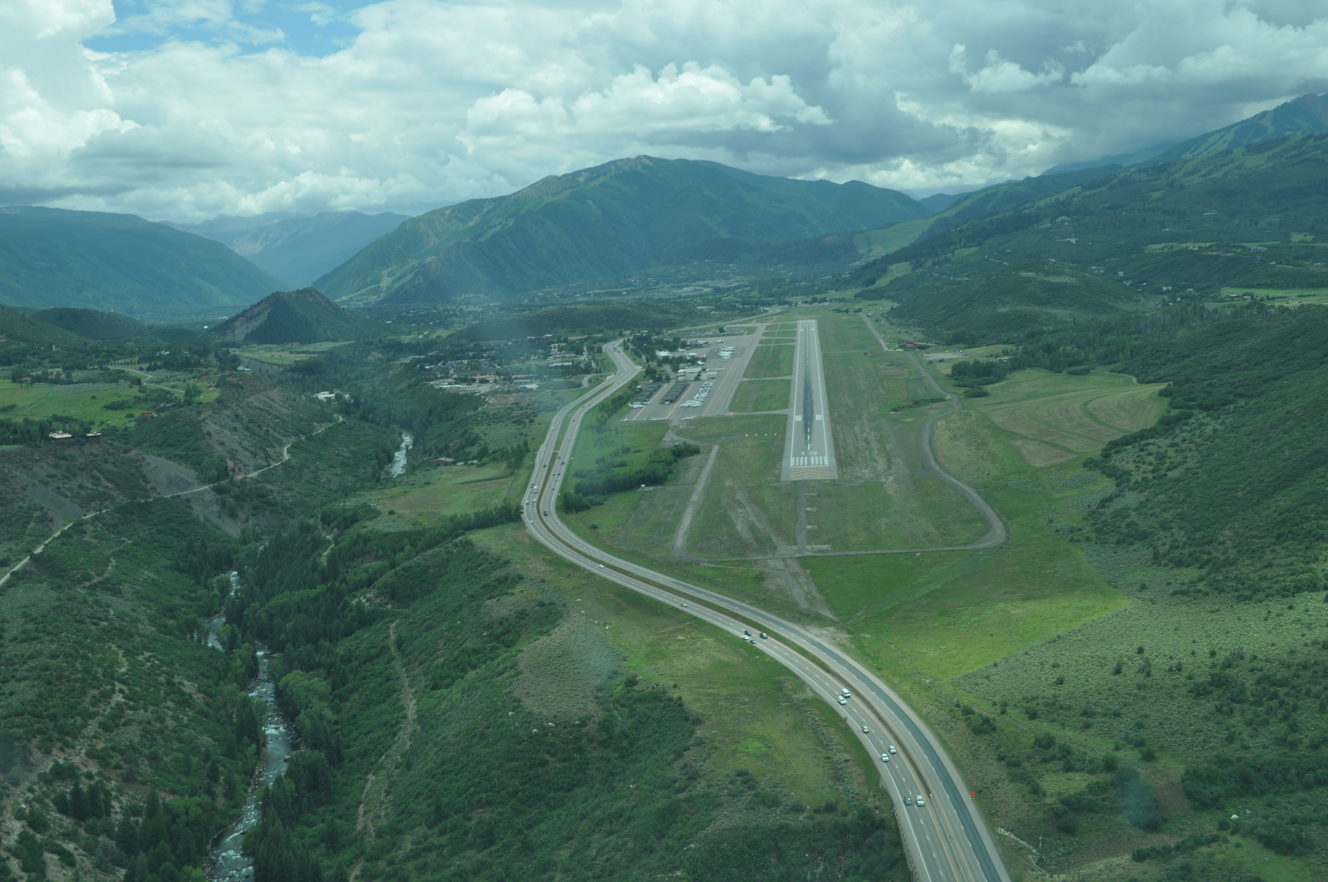
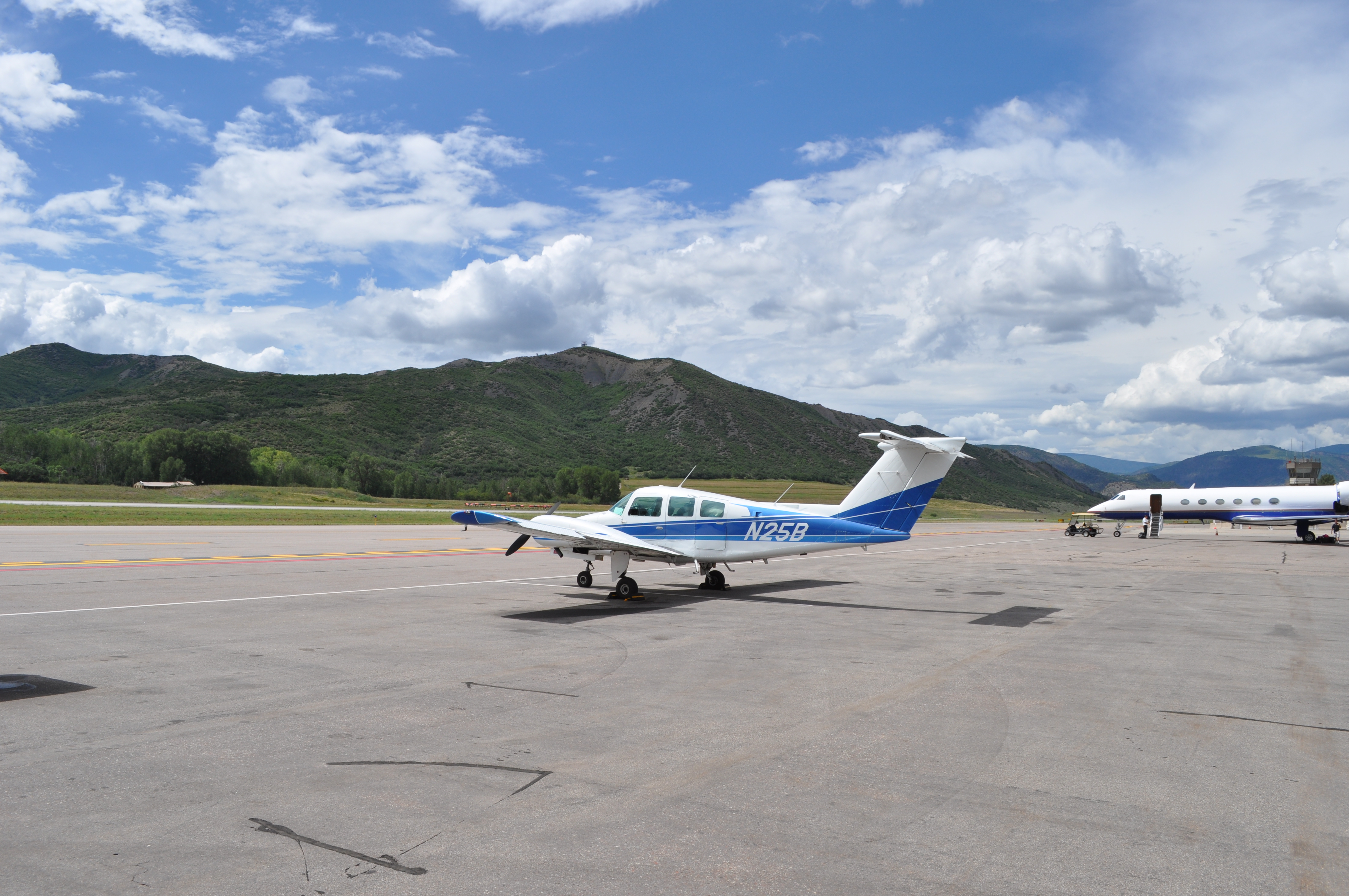
Final approach at Aspen, CO |
|
|

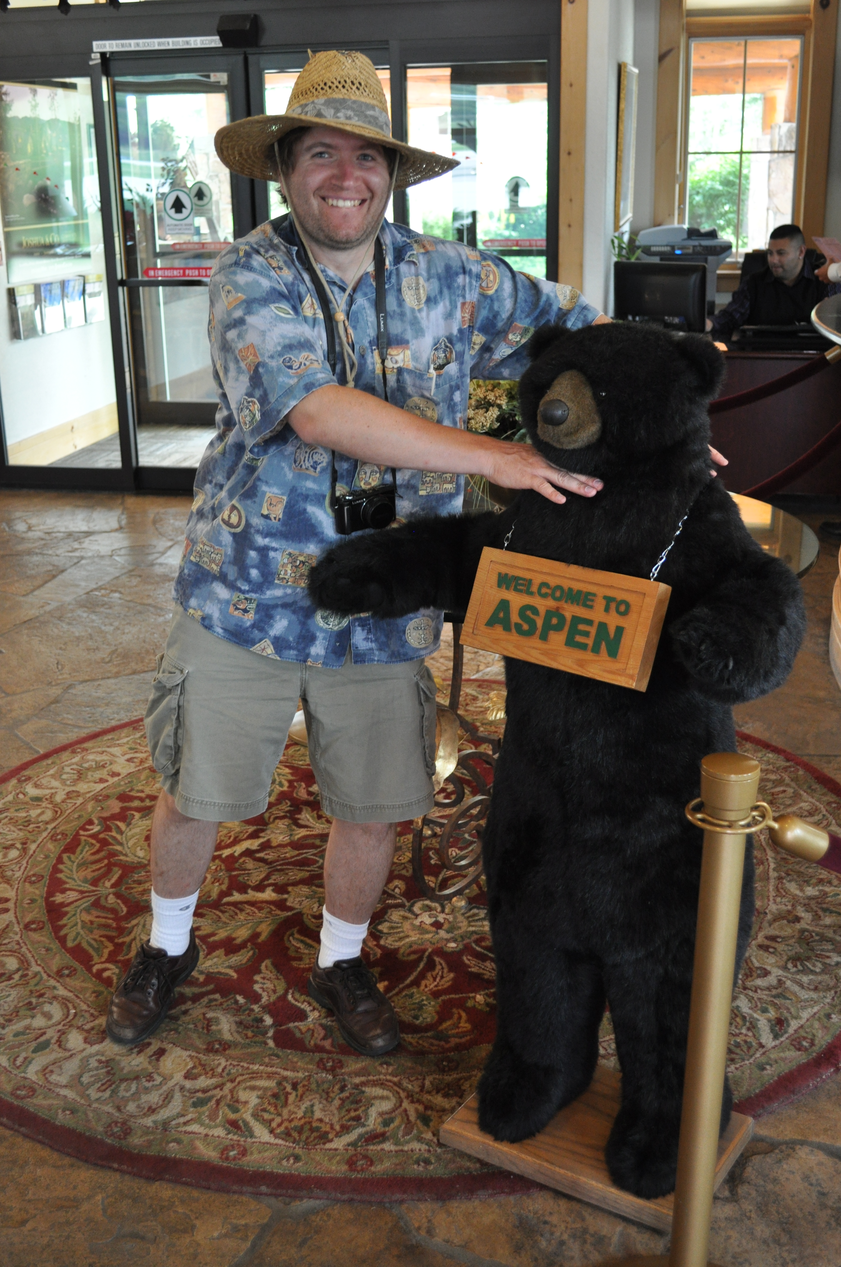
There's not a car on the ramp under $50k. There's no money here... |
|
|
|
|
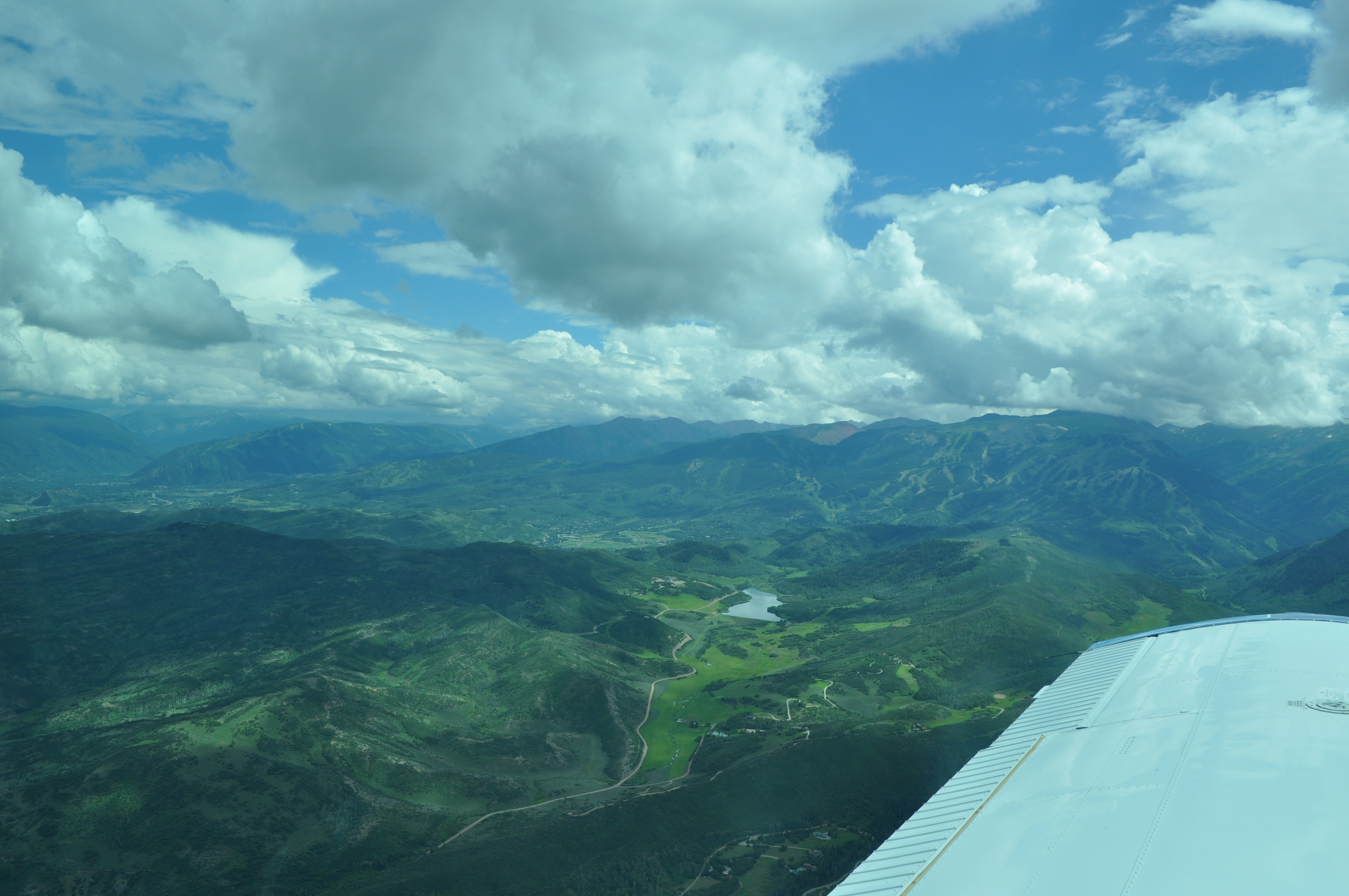
Enroute to Grand Junction, CO |
Back
All images copyright Rich Prillinger, 2005, 2006, 2007, 2008, 2009, 2010, 2011, 2012, 2013
Please ask for permission before use
web at richp d0t com