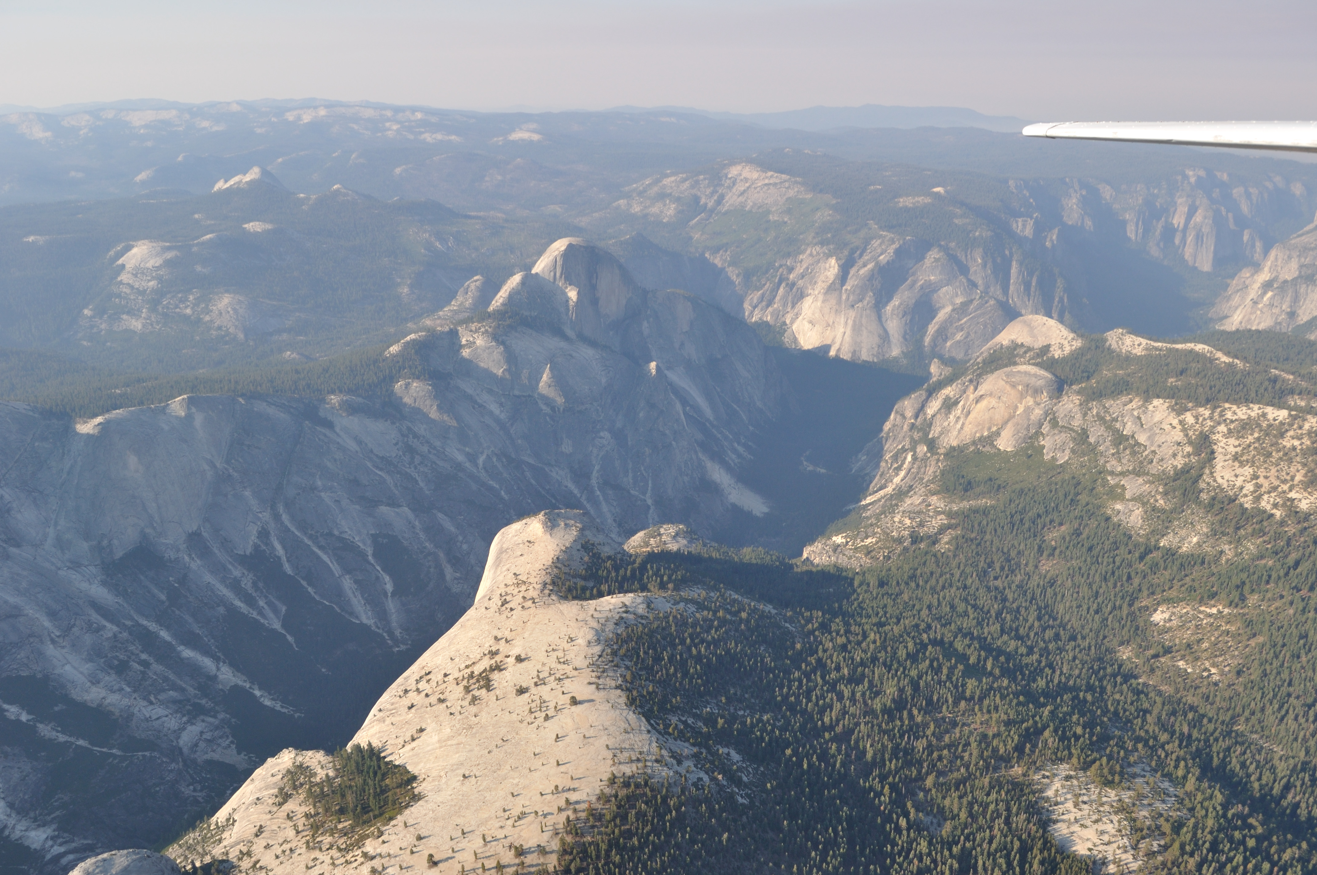
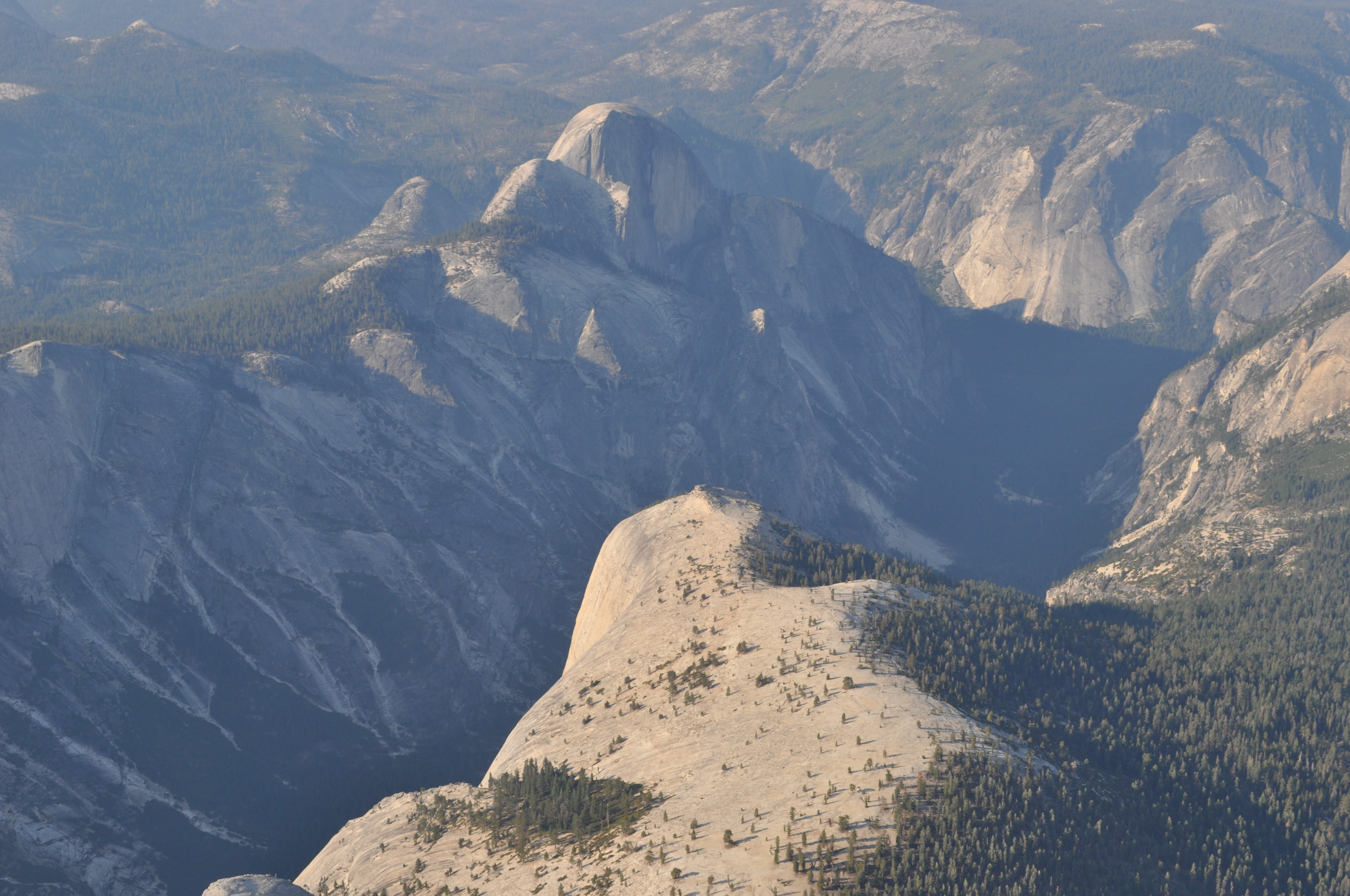
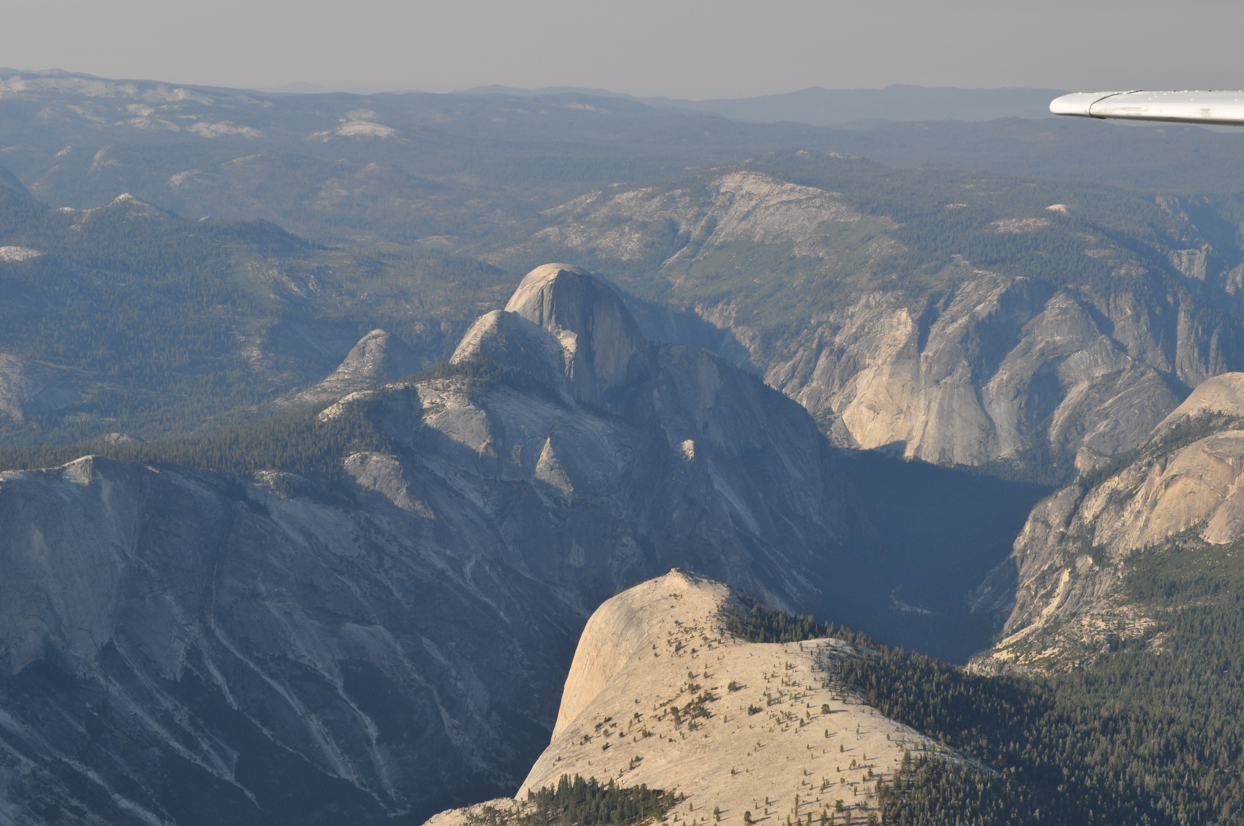
The top of Sentinel Dome |
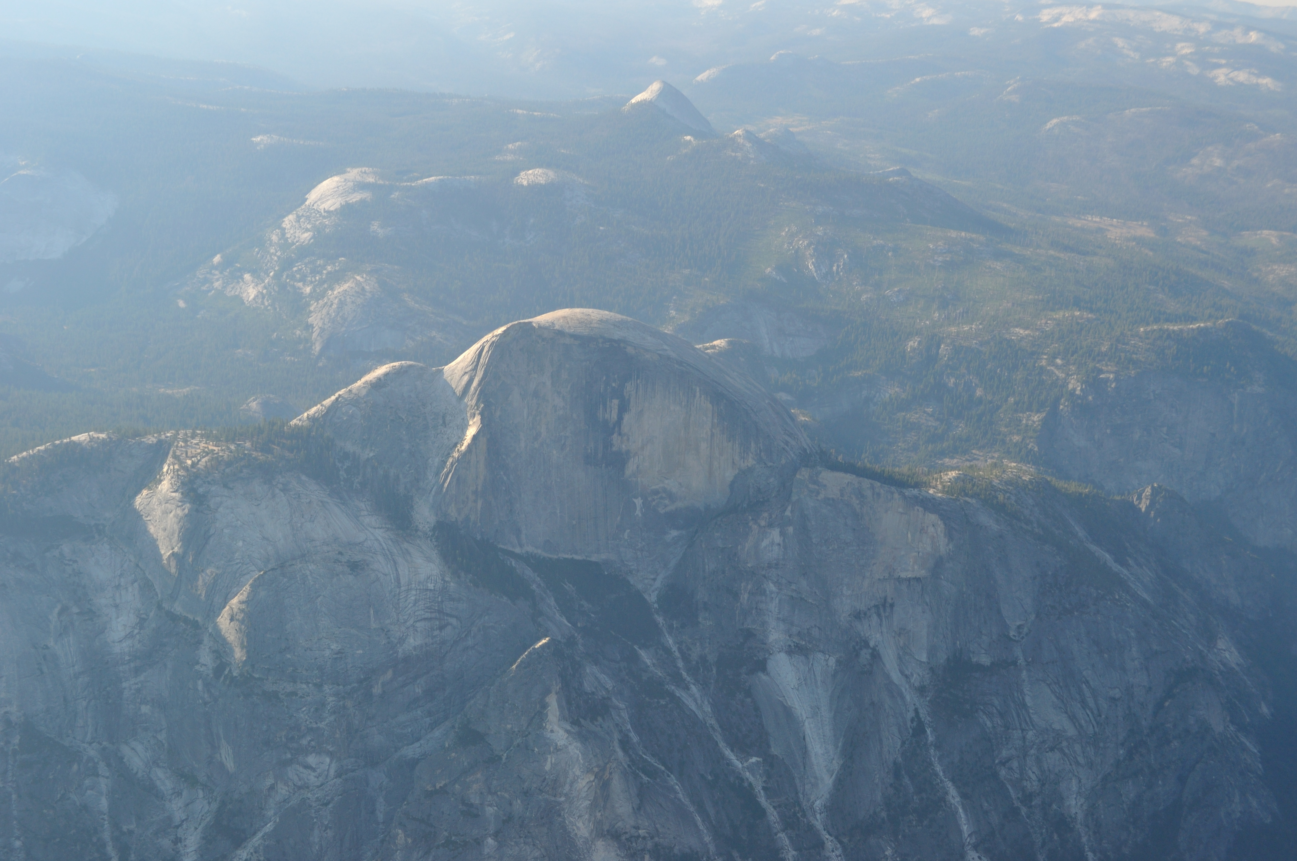
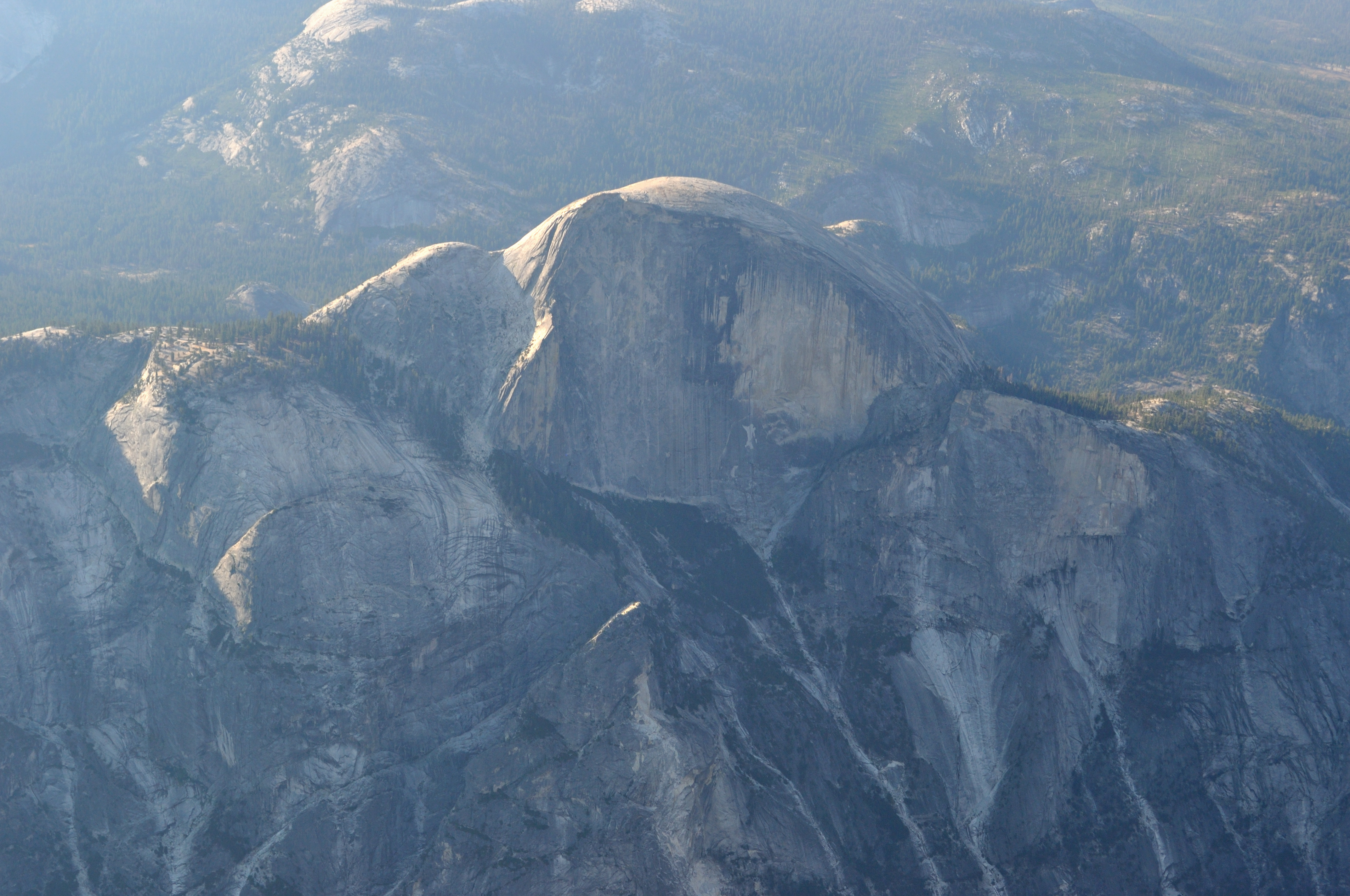
Half Dome |
|
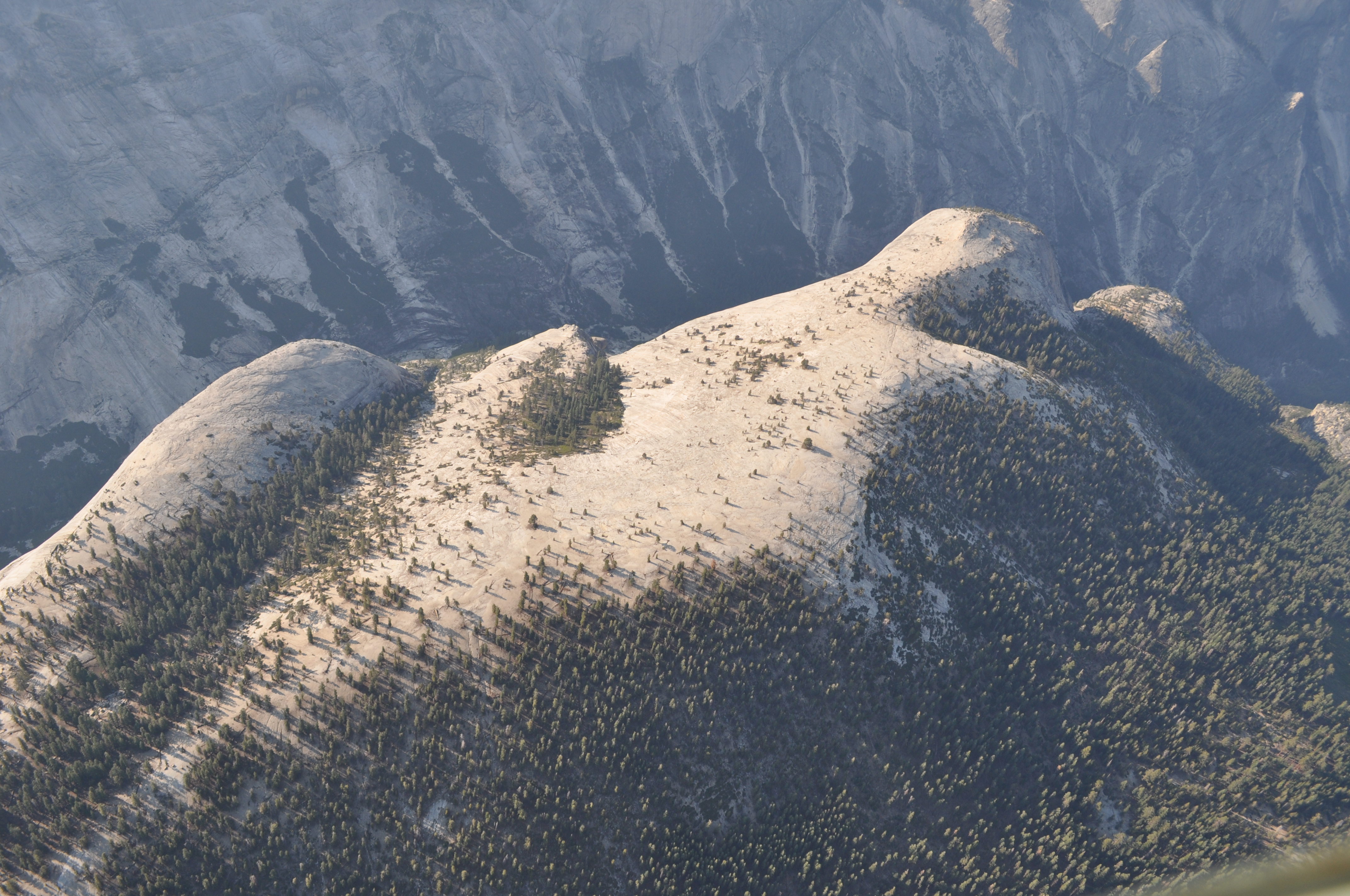
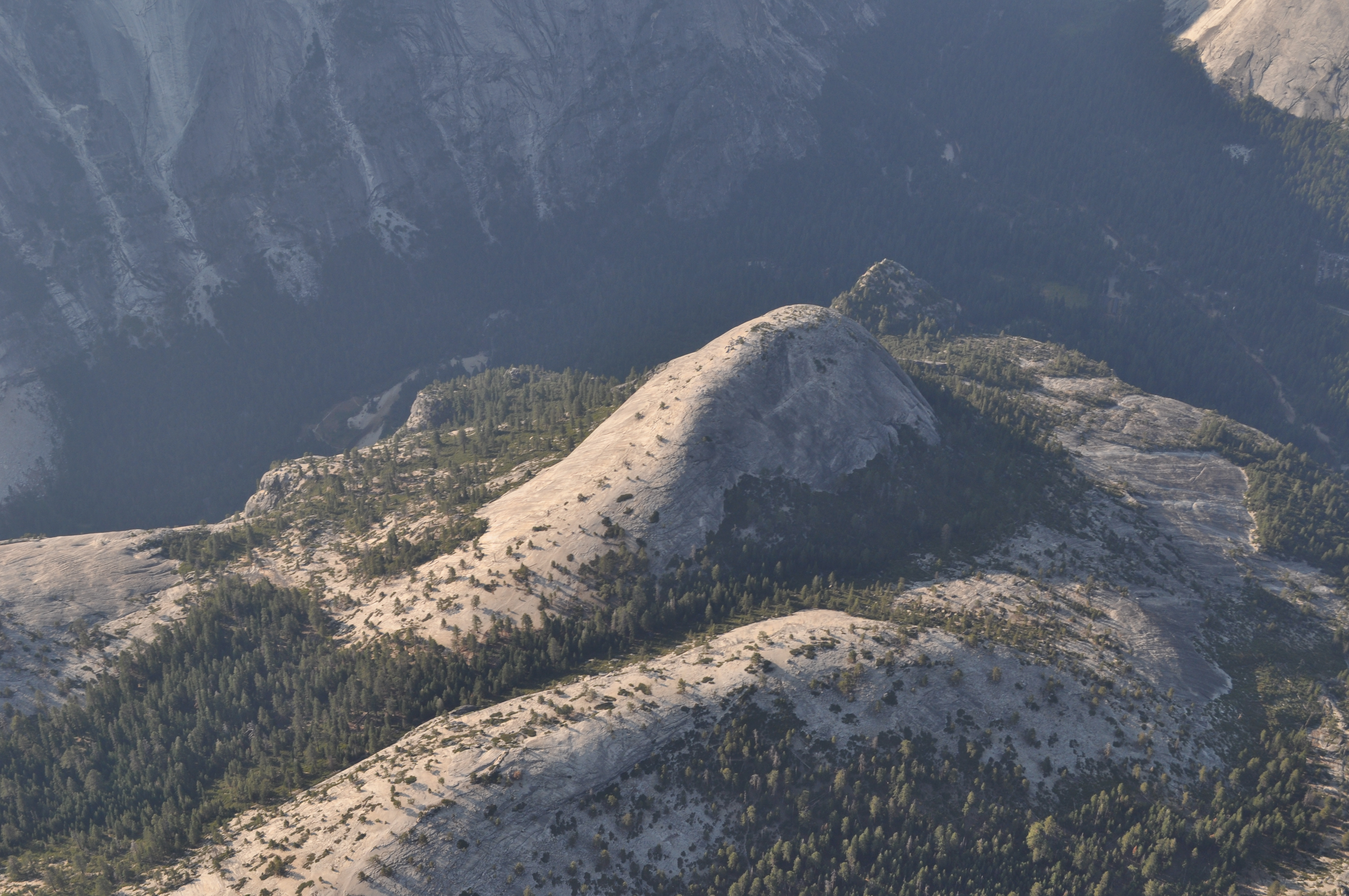
The Devils Dance Floor |
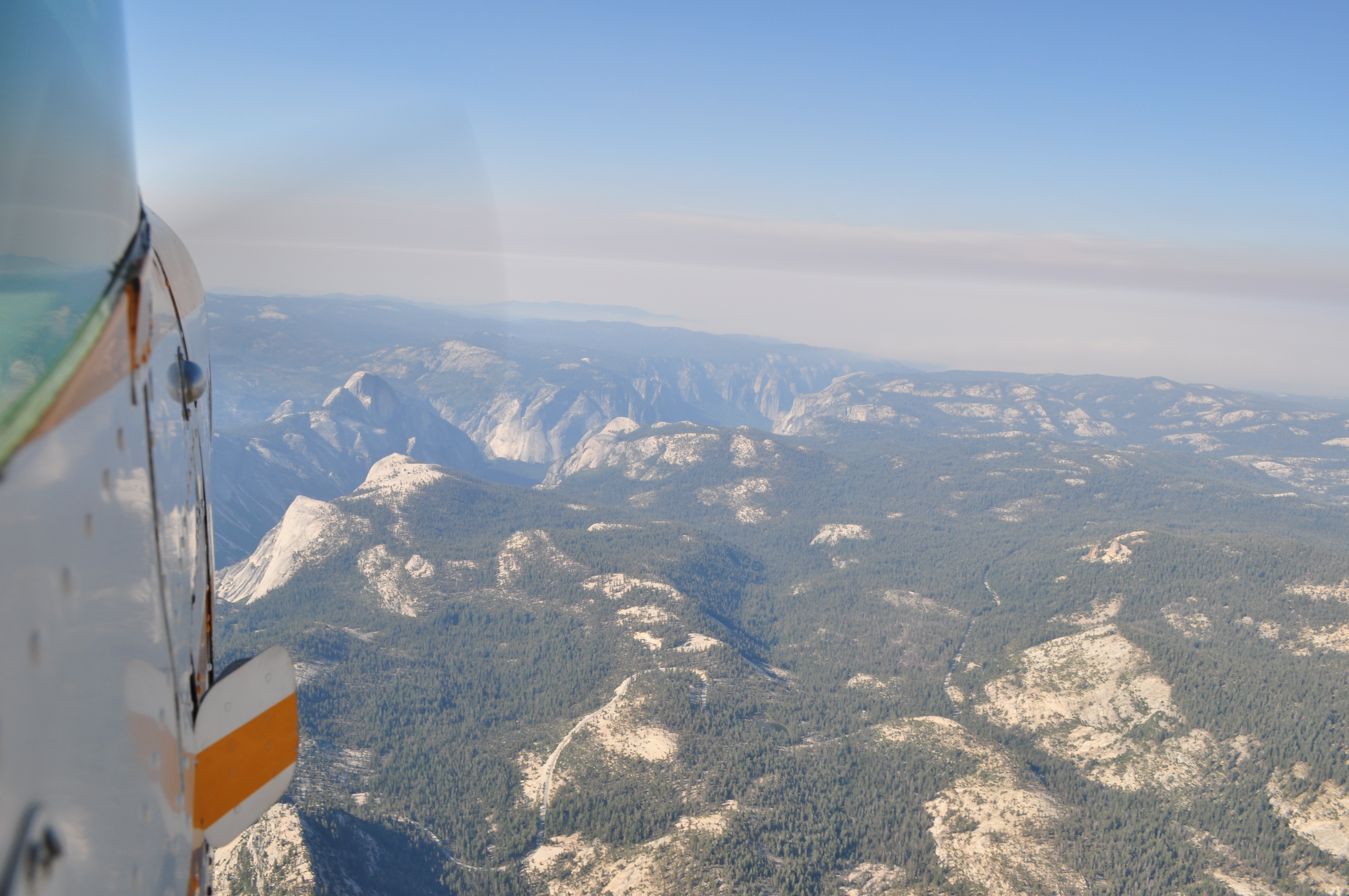
Looking back down the valley westward |
|
|
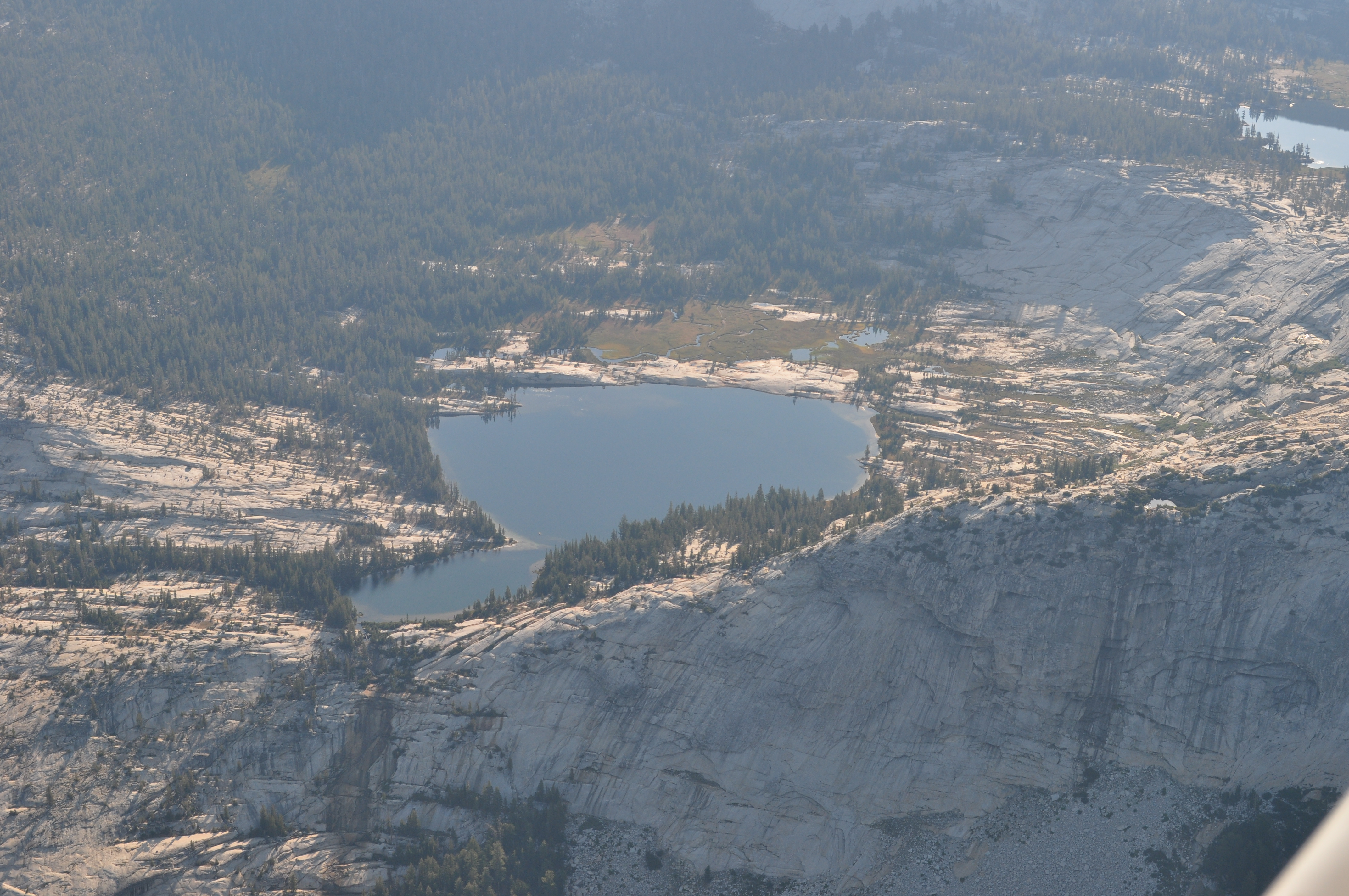
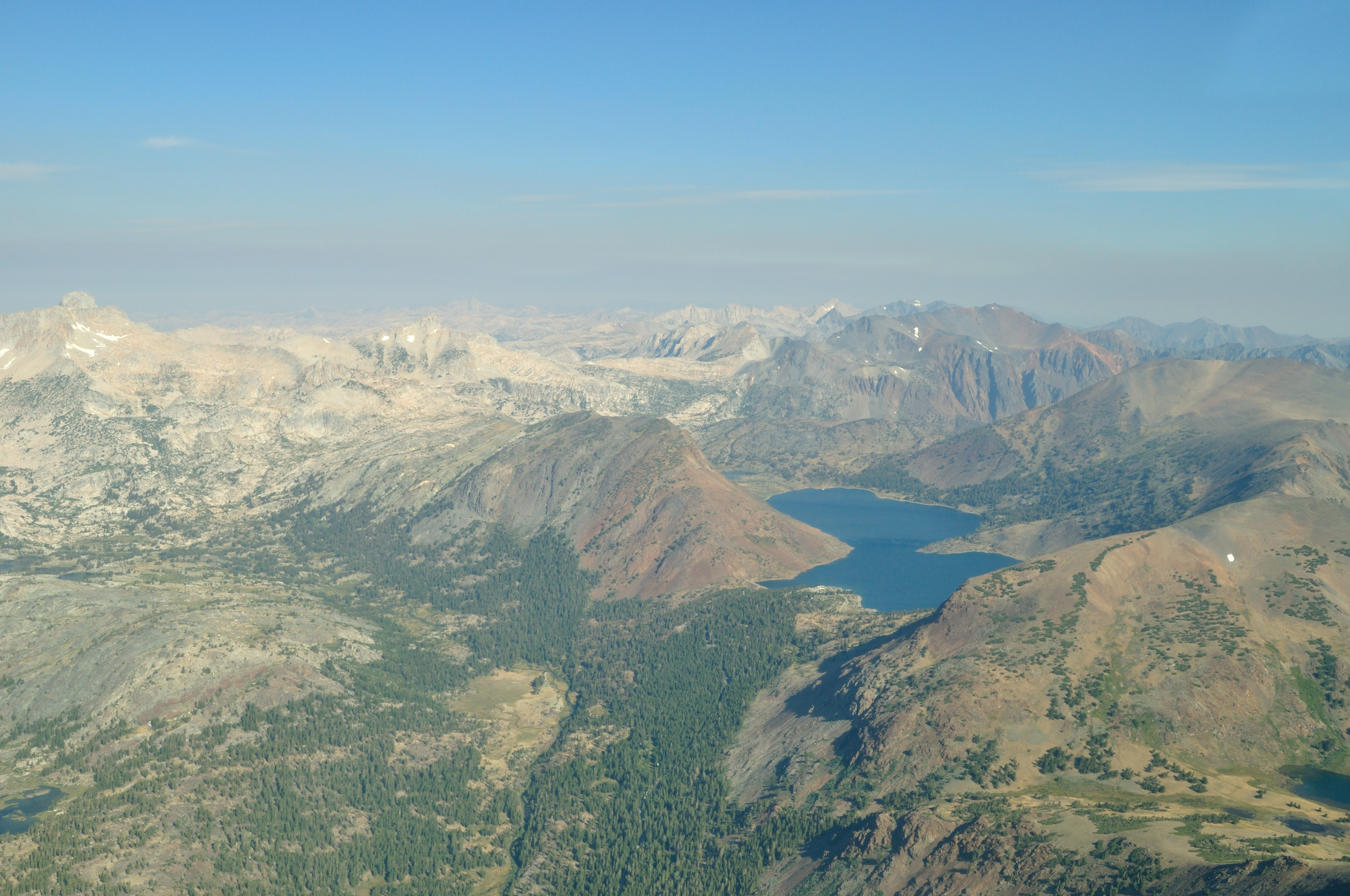
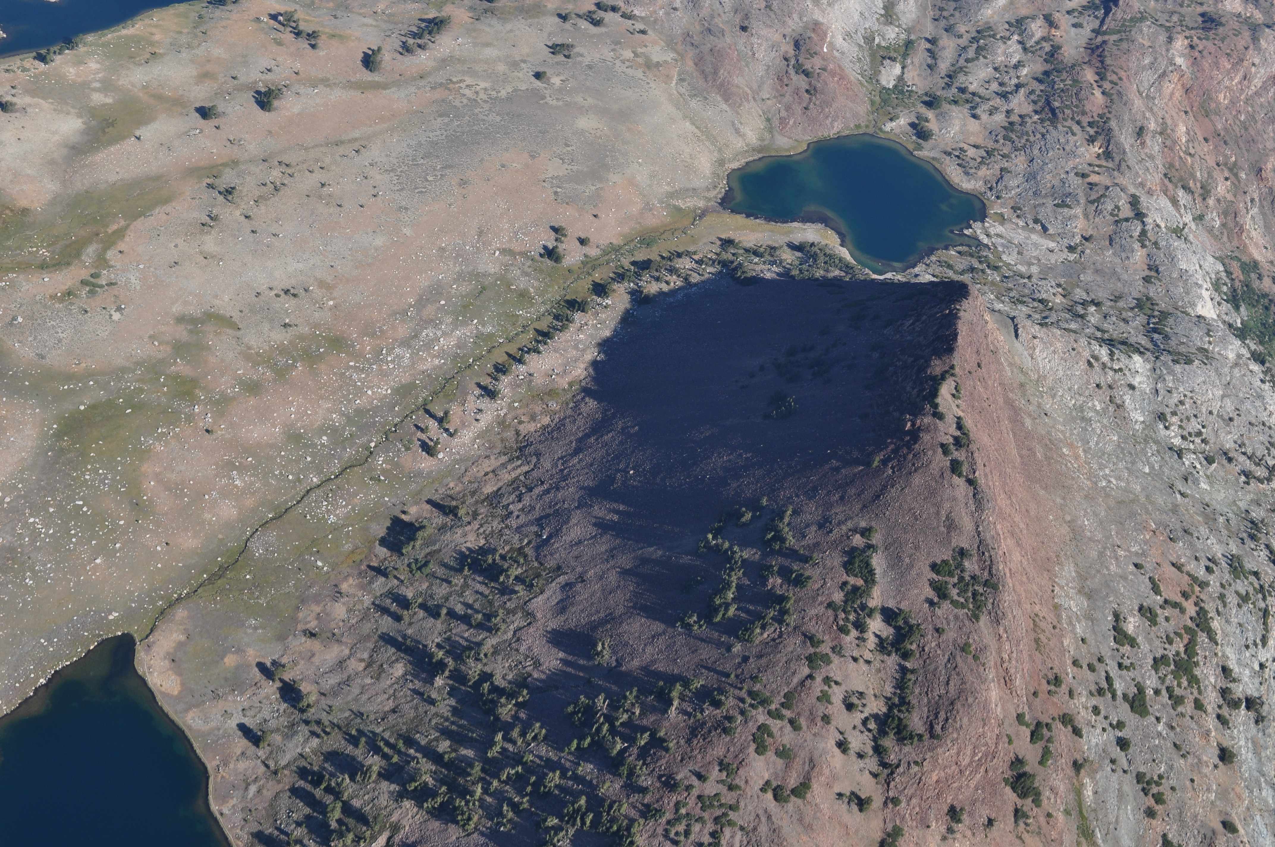
Cathedral lakes near Tuolumne Meadows |

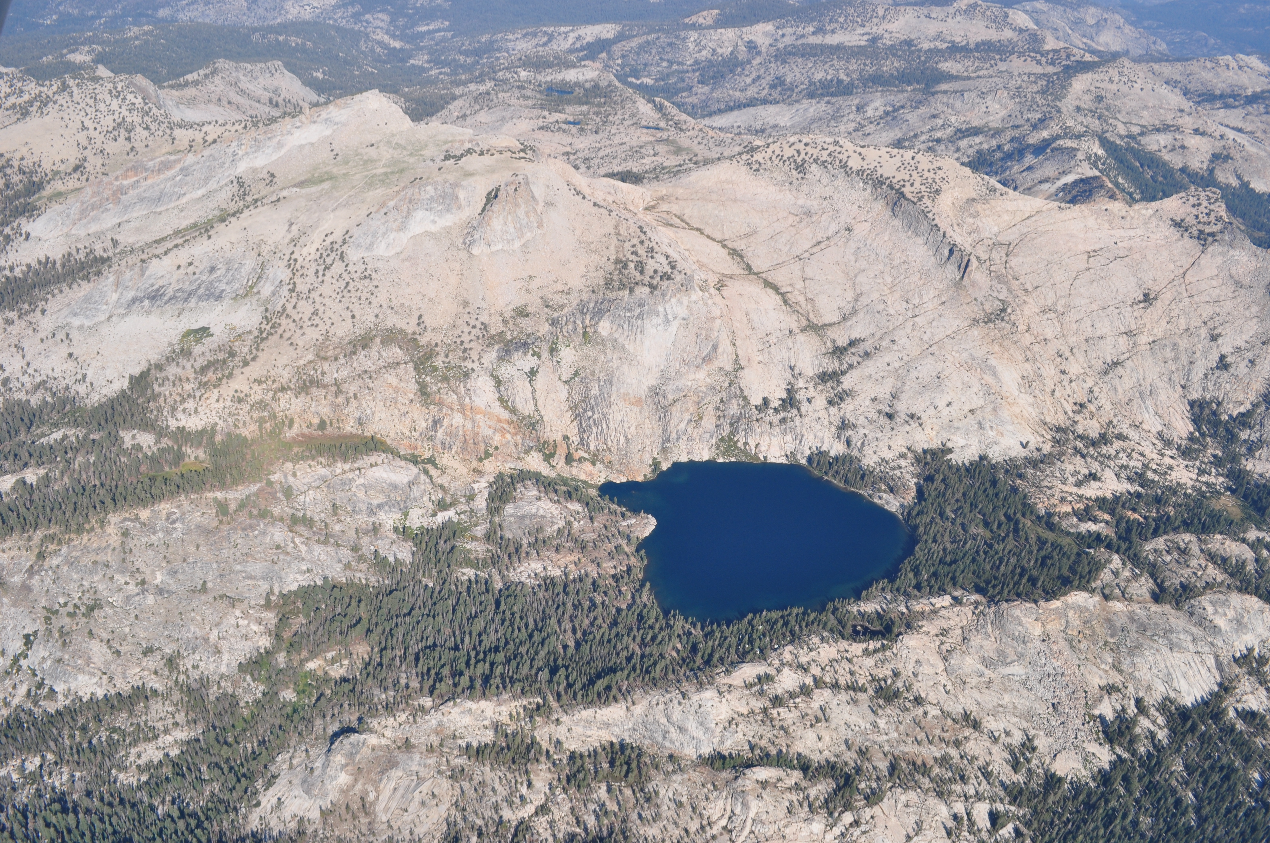
Fairview Dome |
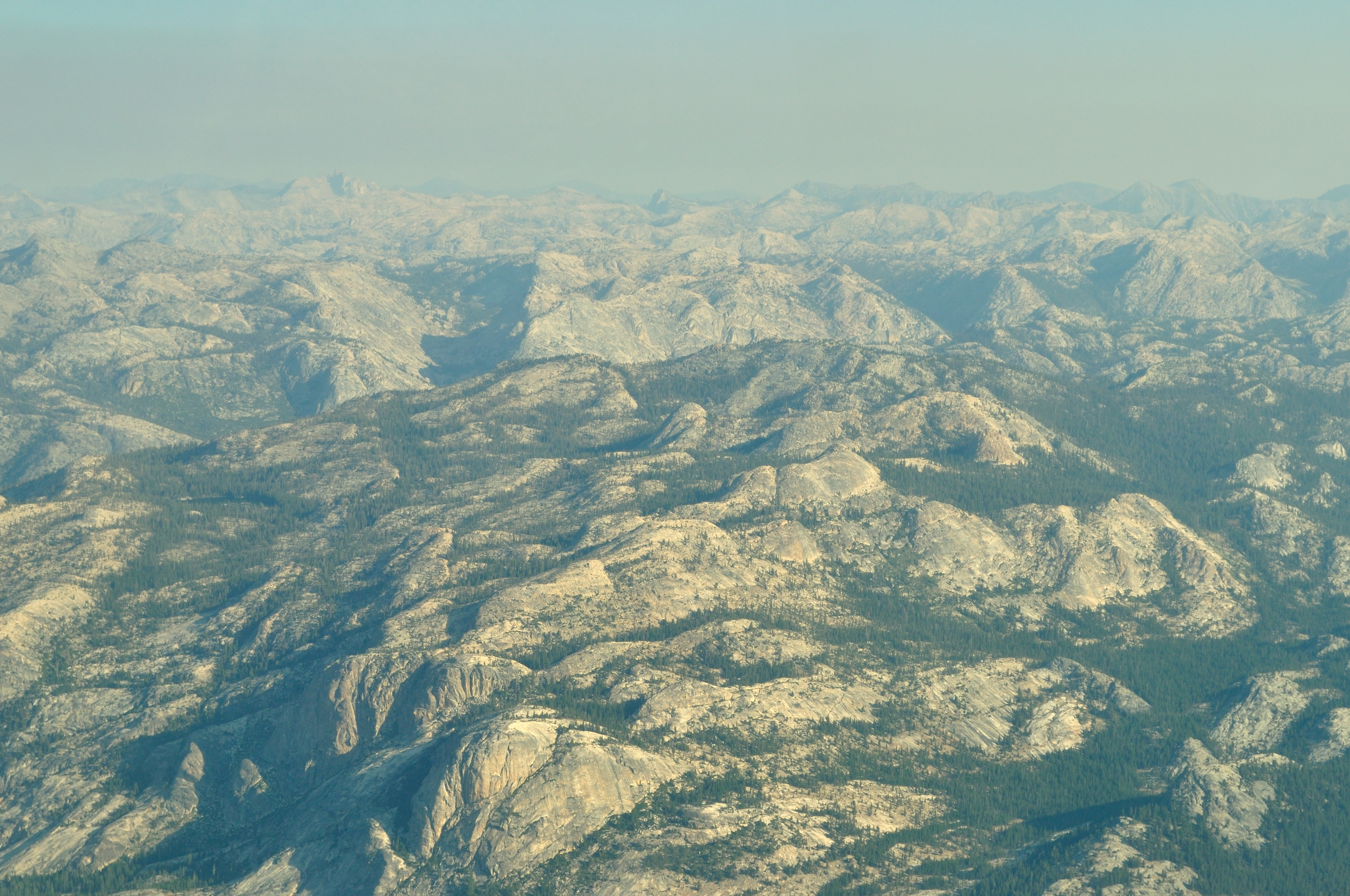
Looking north from over Tuolumne meadows. That's a lot of granite. |

Echo peaks? Not 100% sure. These were south of our course when we were near Tenaya lake. |

|
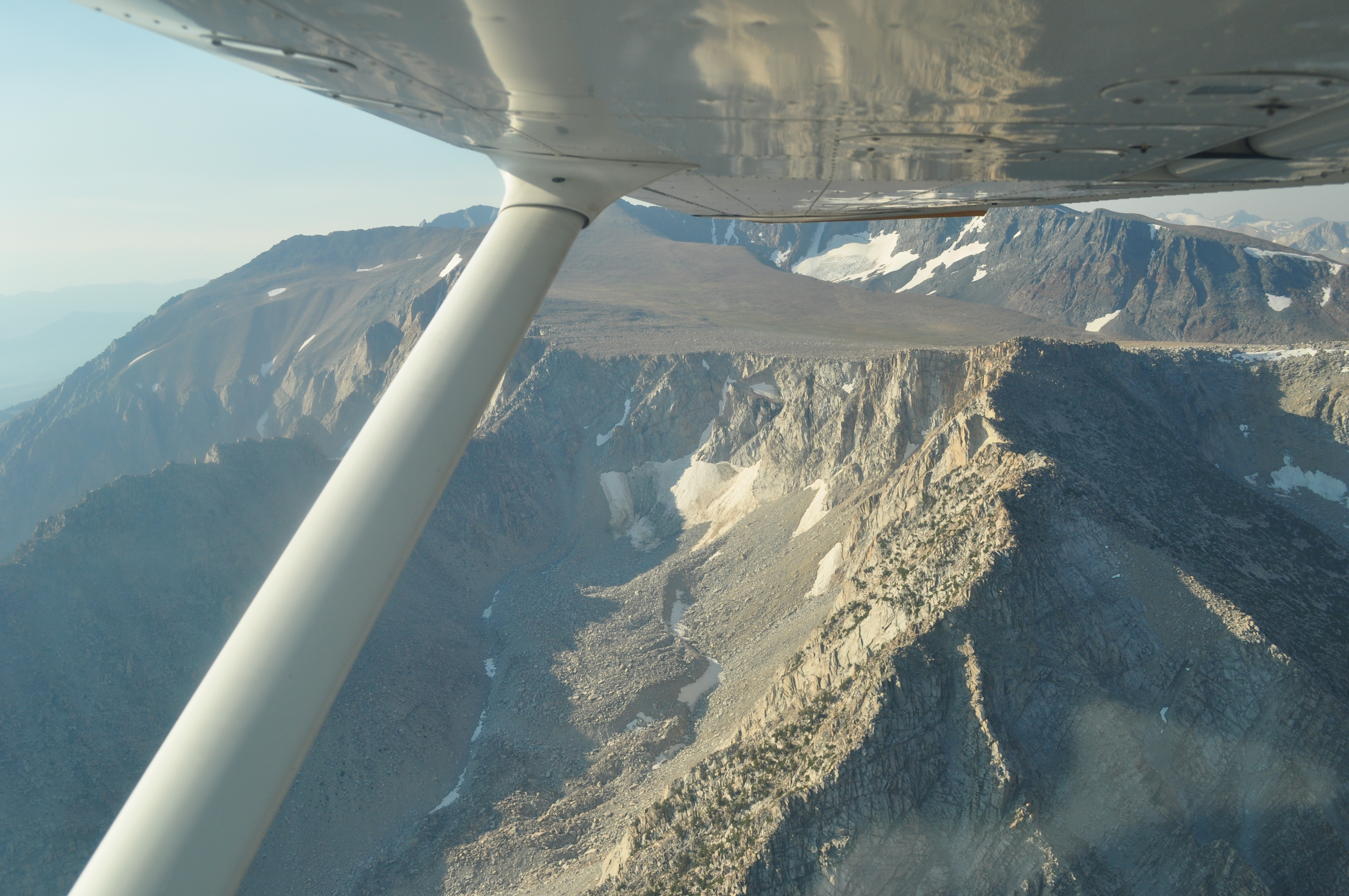
One of the last bits of high mountain on the eastern side of the Sierras before descending into Lee Vining. We more or less followed Highway 120 - Tioga Pass. I think this is called Williams Butte. |

|
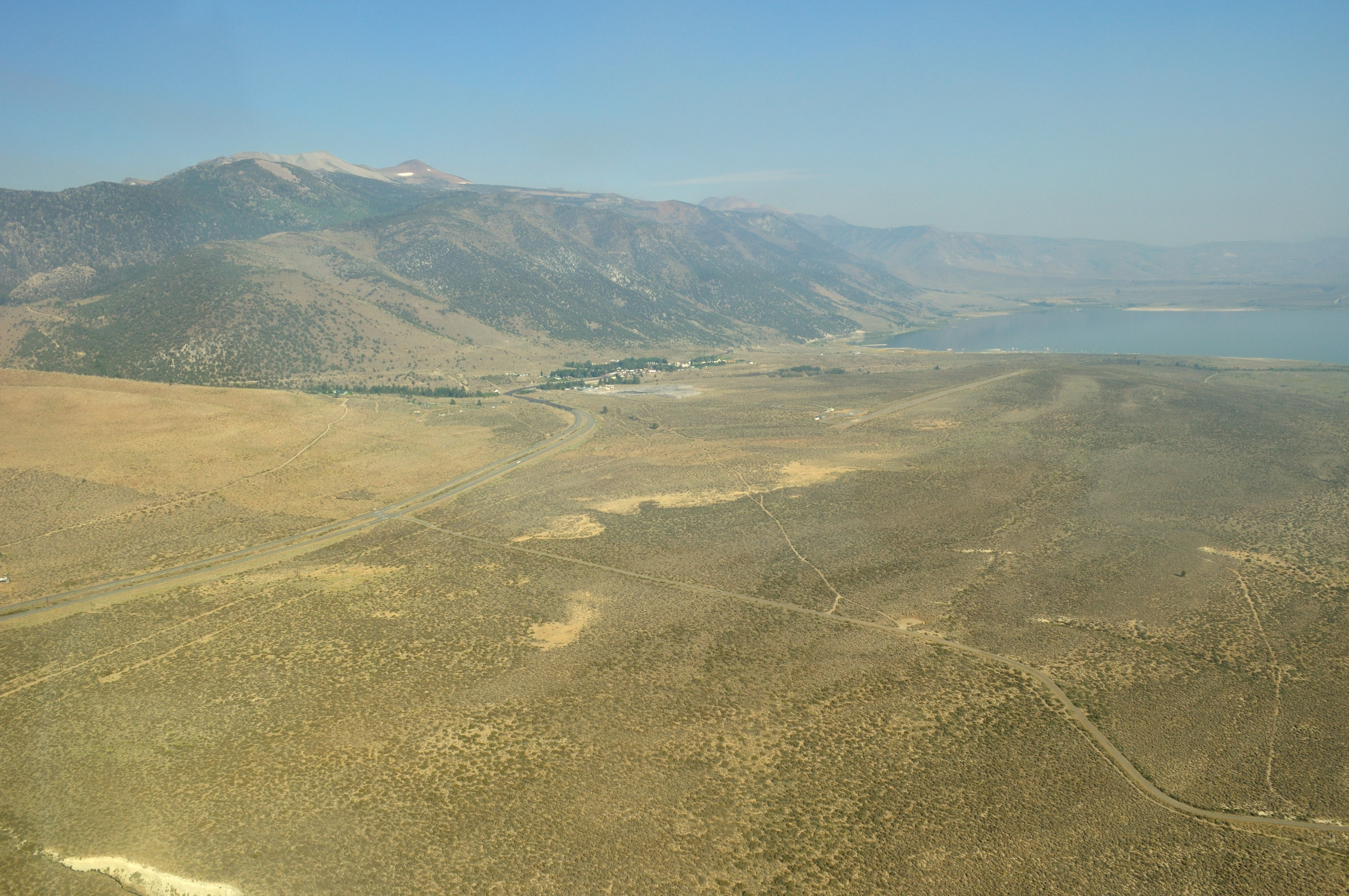
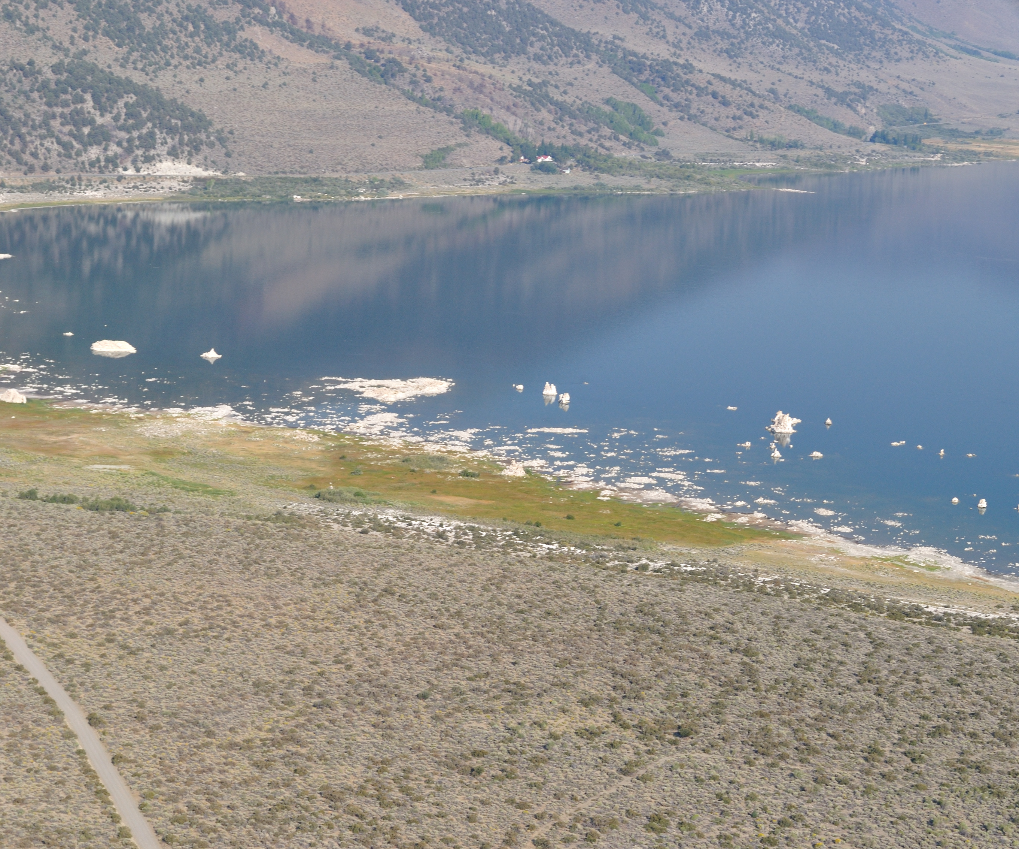
Descending to Lee Vining. Mono Lake is on the right. |
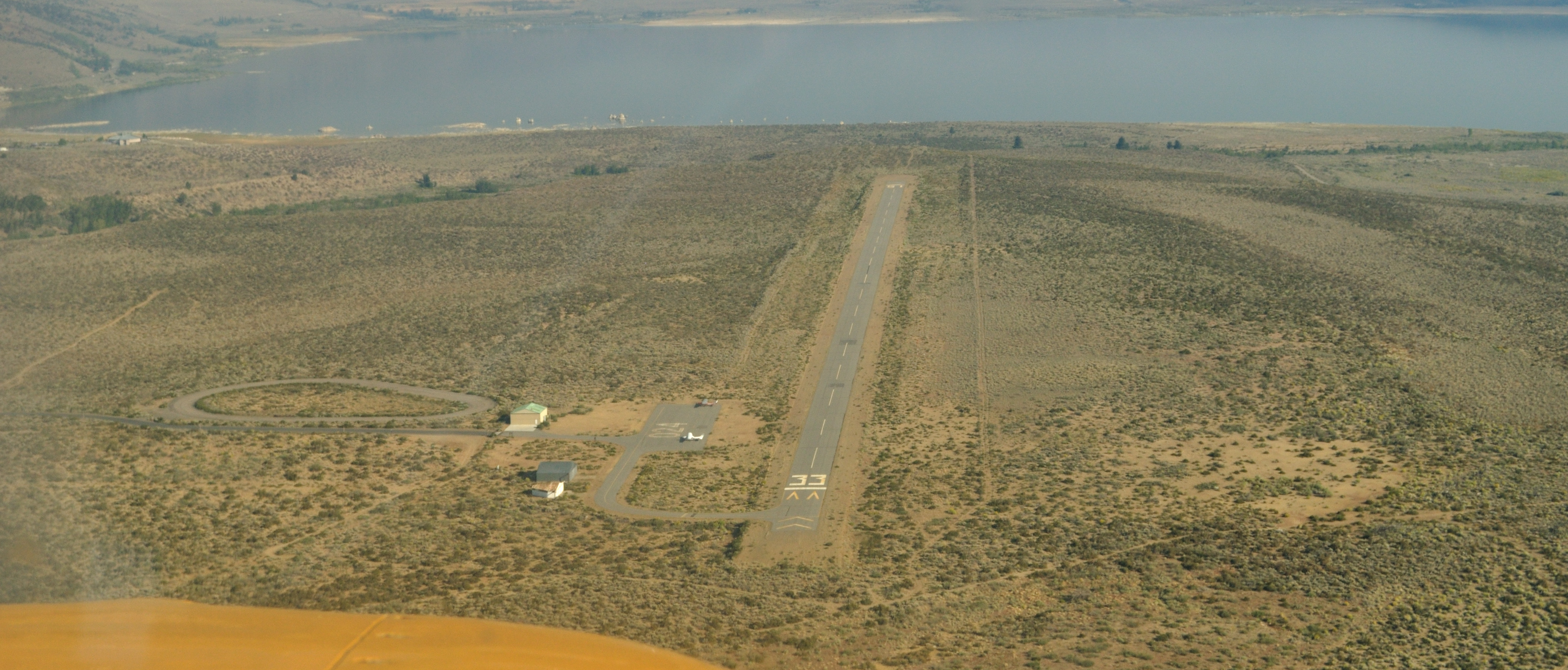
High final approach. We ended up landing on 15 instead. |
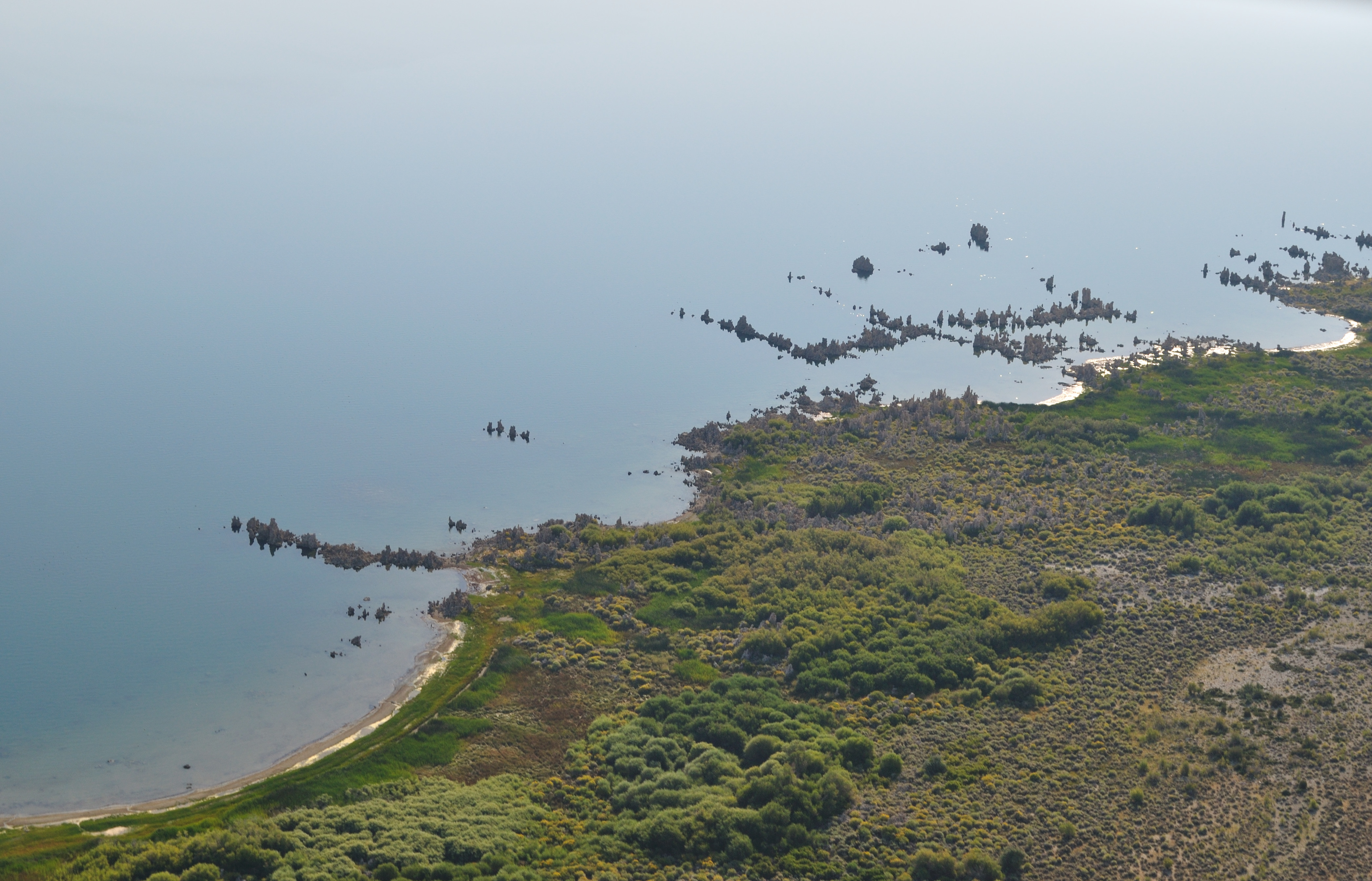
Tufa on Mono Lake |
|
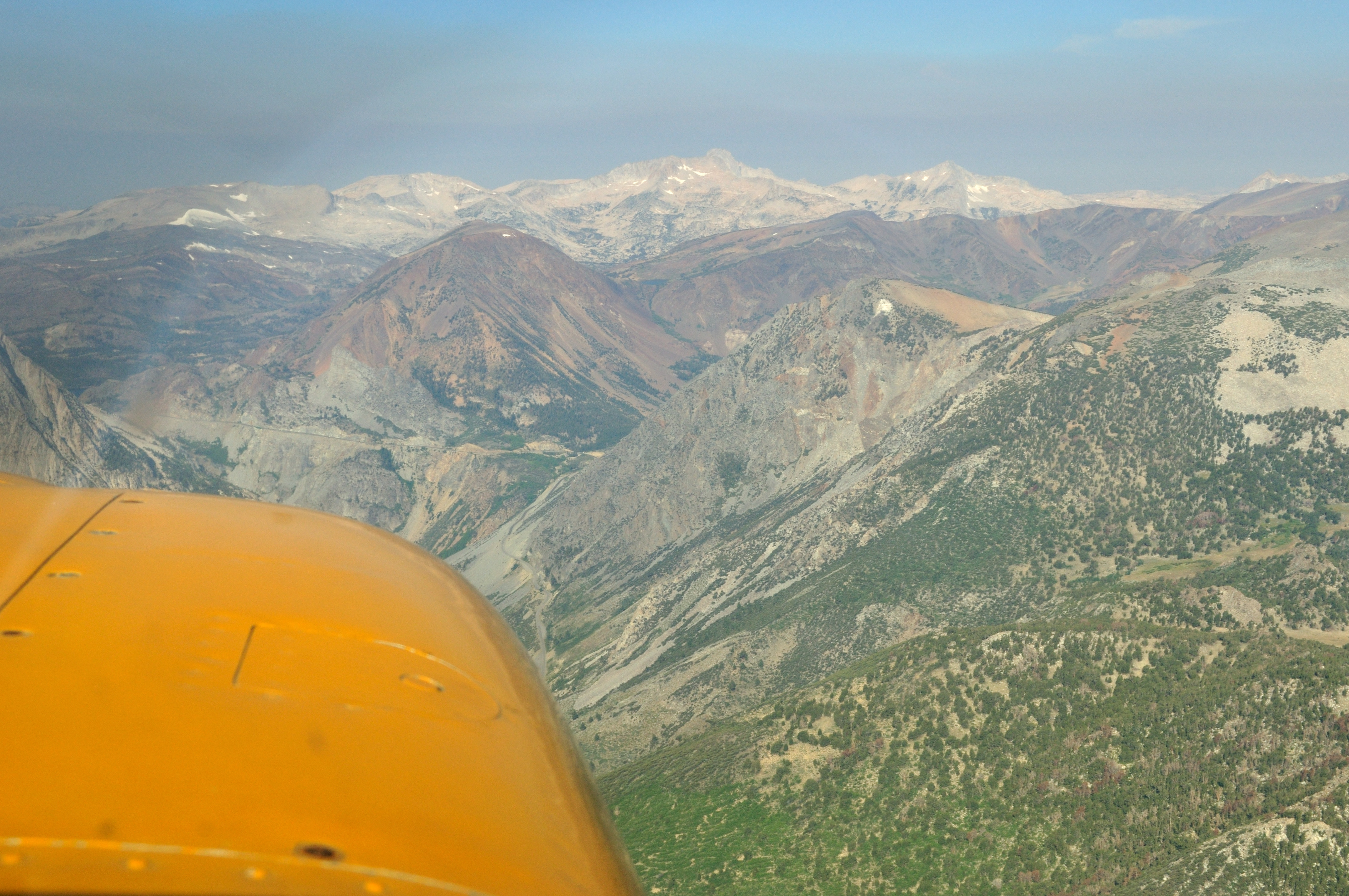
Departing back over Tioga pass |
Saddleback Lake |
Unnamed dome near Saddleback Lake |

Mount Conness |
May Lake |
Approaching Yosemite Valley |
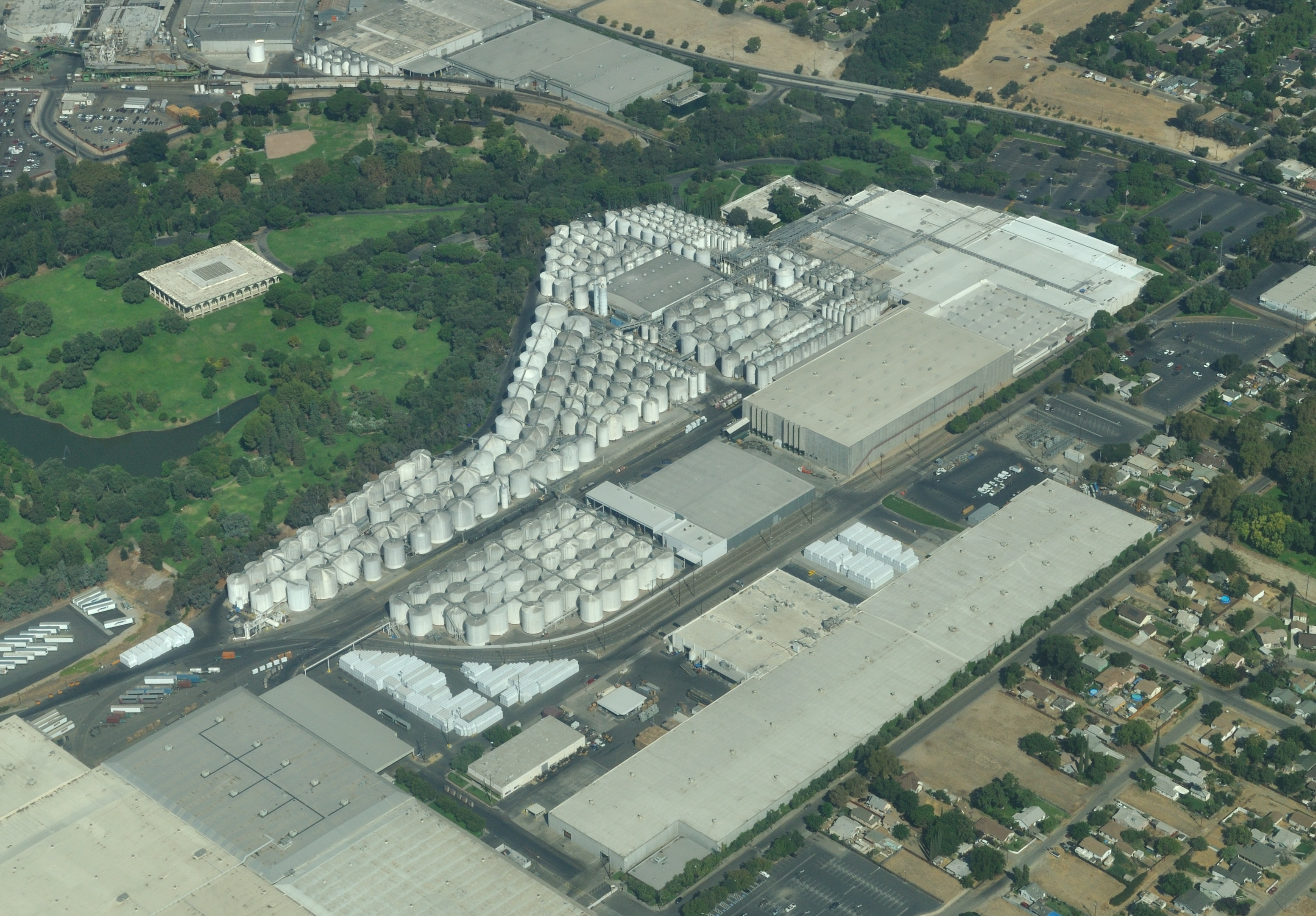
And back towards civilization, a large chemical(?) plant in Modesto |
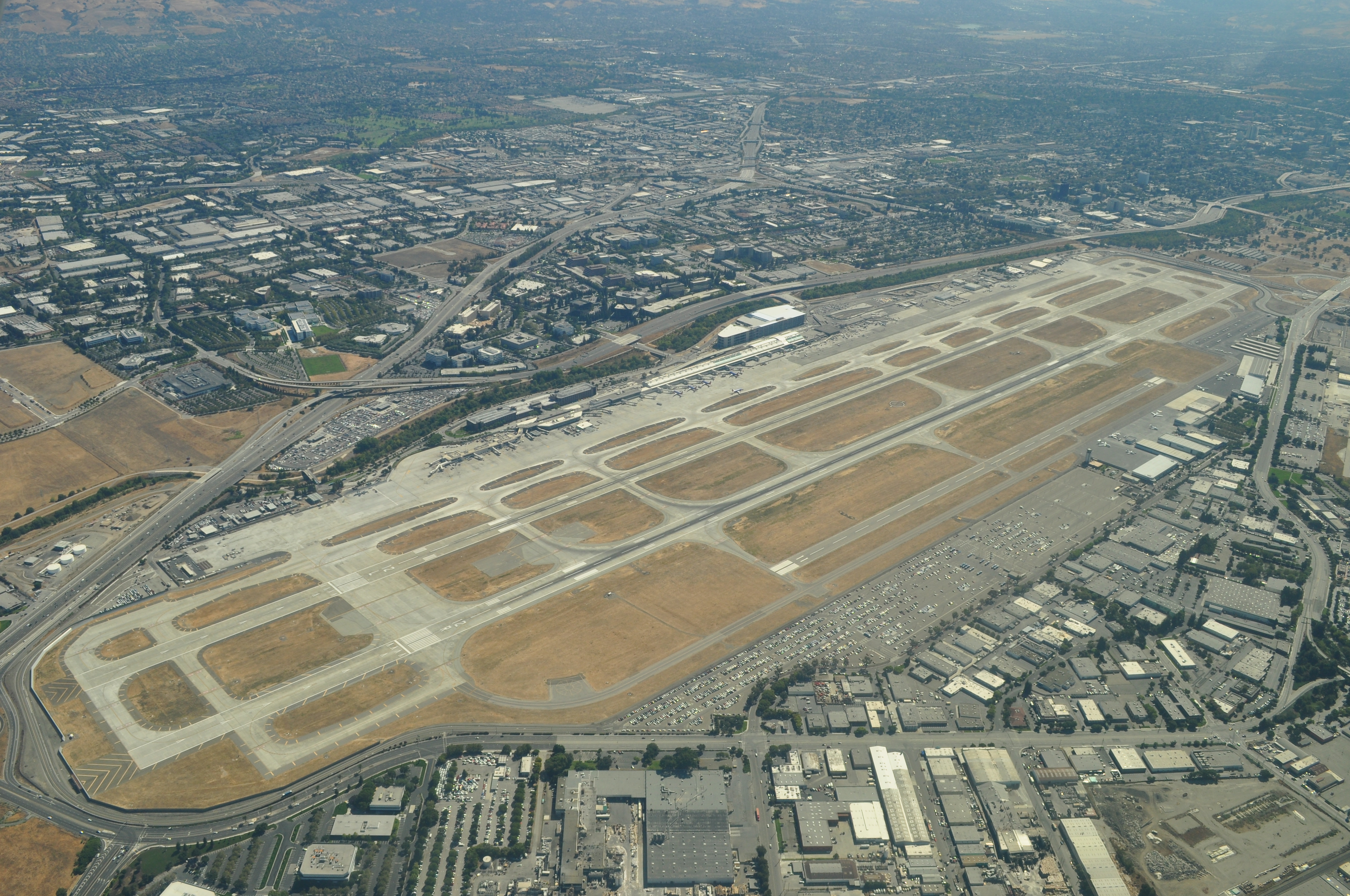
Flying over San Jose International on the way to Palo Alto |
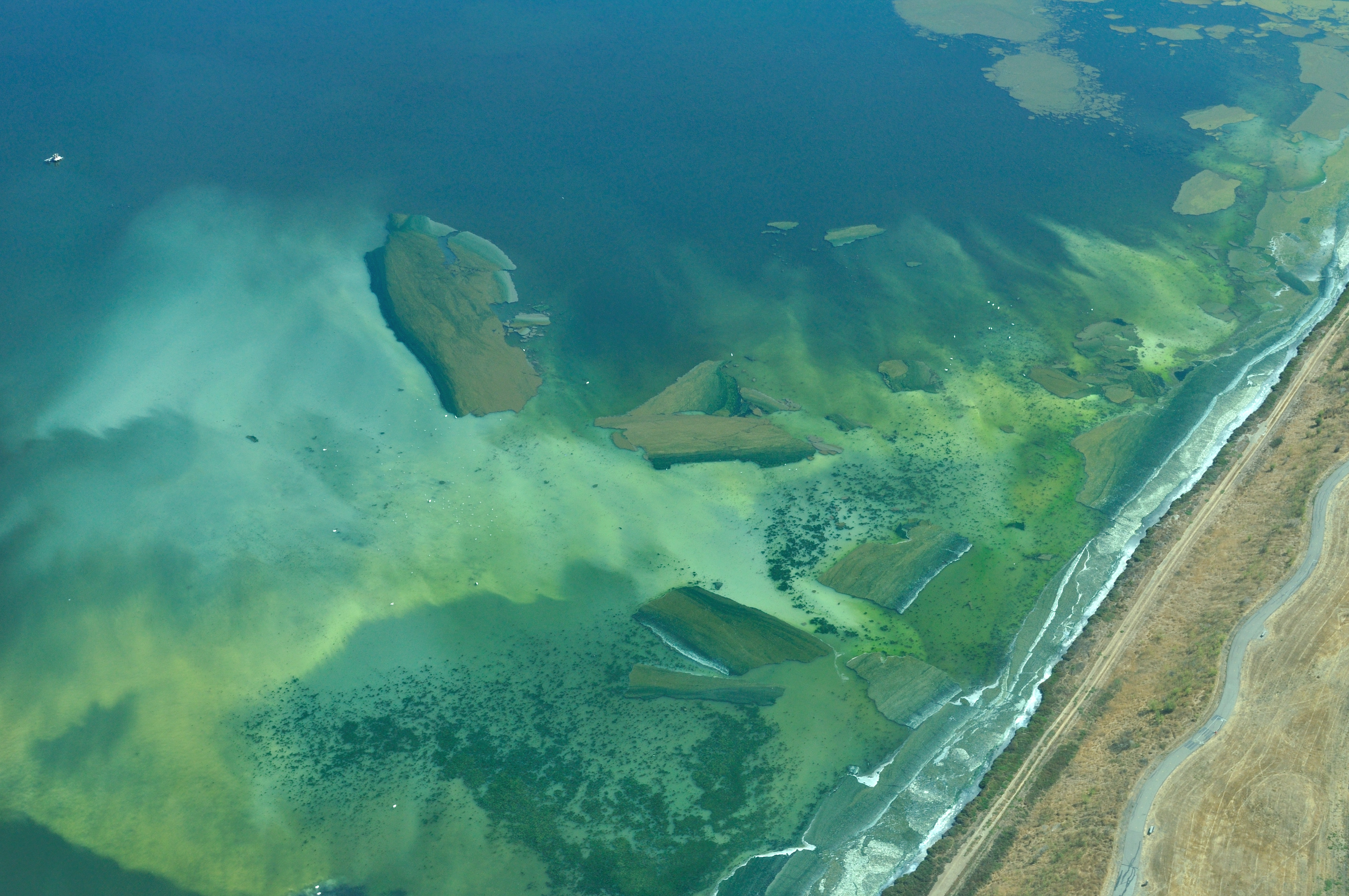
Some cool looking spores/plants in a marsh area on approach to Palo Alto. The heat must have made them spawn or something because a few days prior this wasn't there. |
Back
All images copyright Rich Prillinger, 2005, 2006, 2007, 2008, 2009, 2010, 2011, 2012, 2013
Please ask for permission before use
web at richp d0t com