
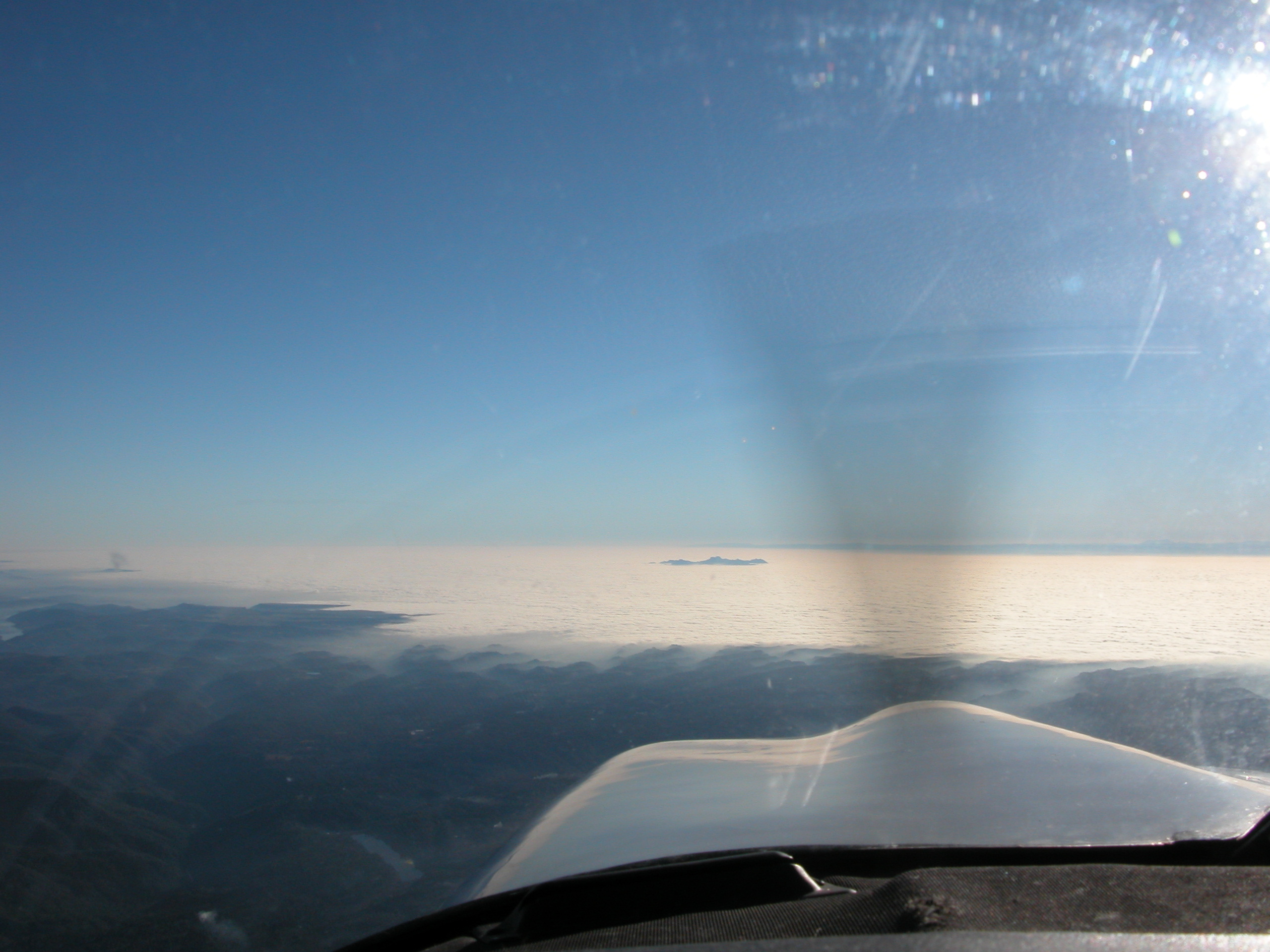
There was to be a solid undercast for most of the flight over the central valley. This was the start of it, in the San Ramon/Pleasanton area, West of Mt. Diablo. |
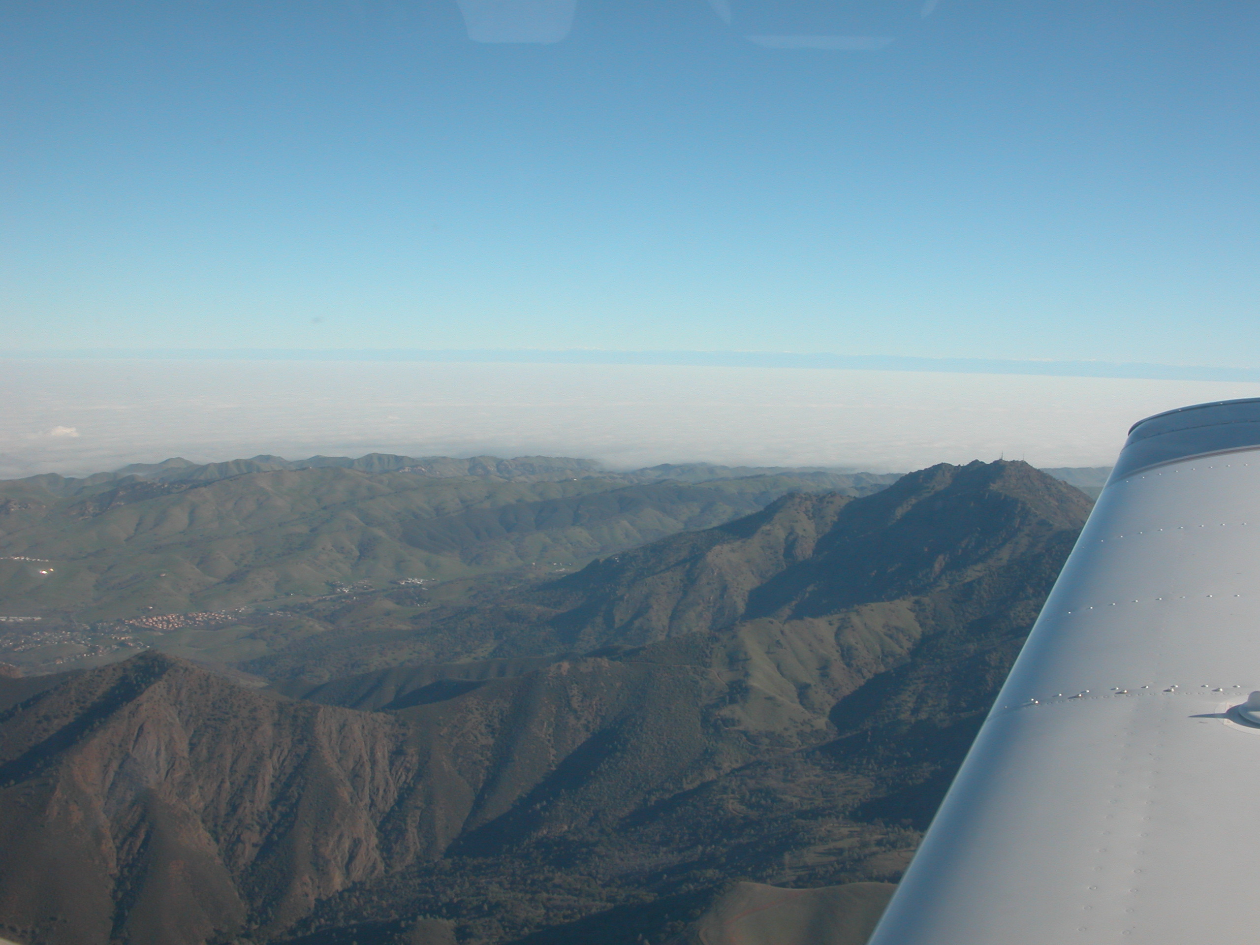
Mt. Diablo and a valley full of fog behind it |
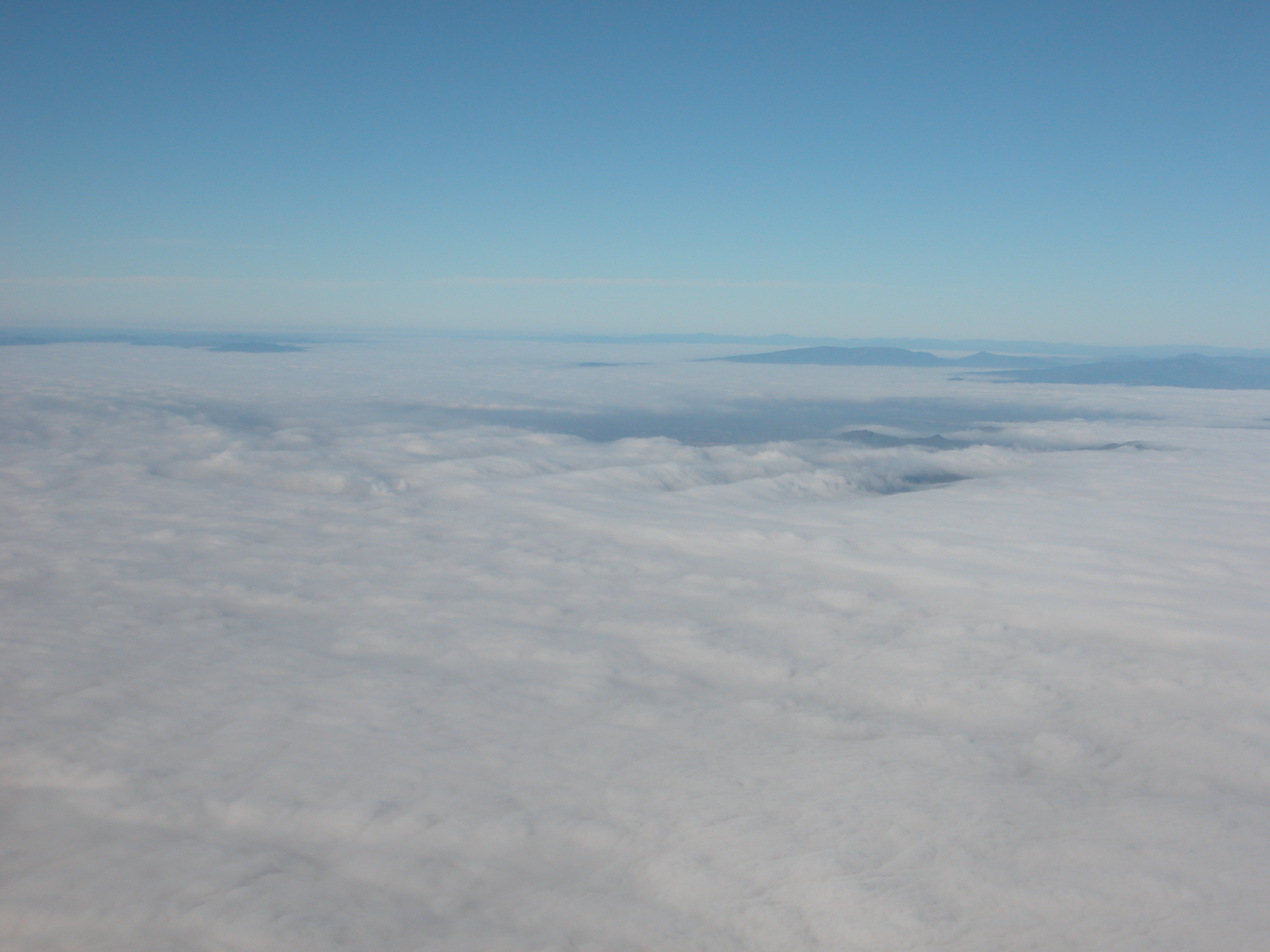
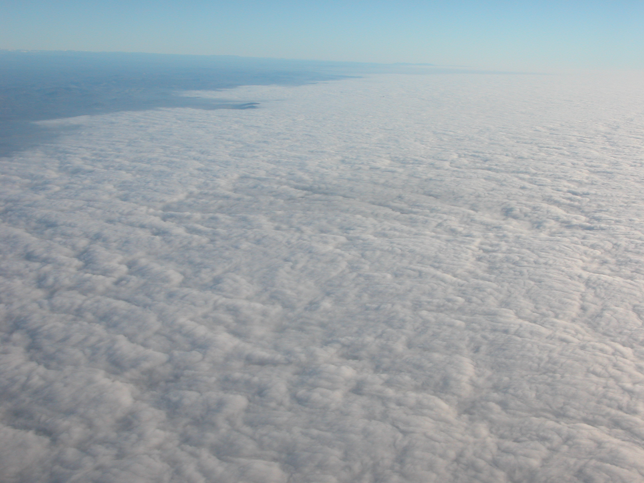
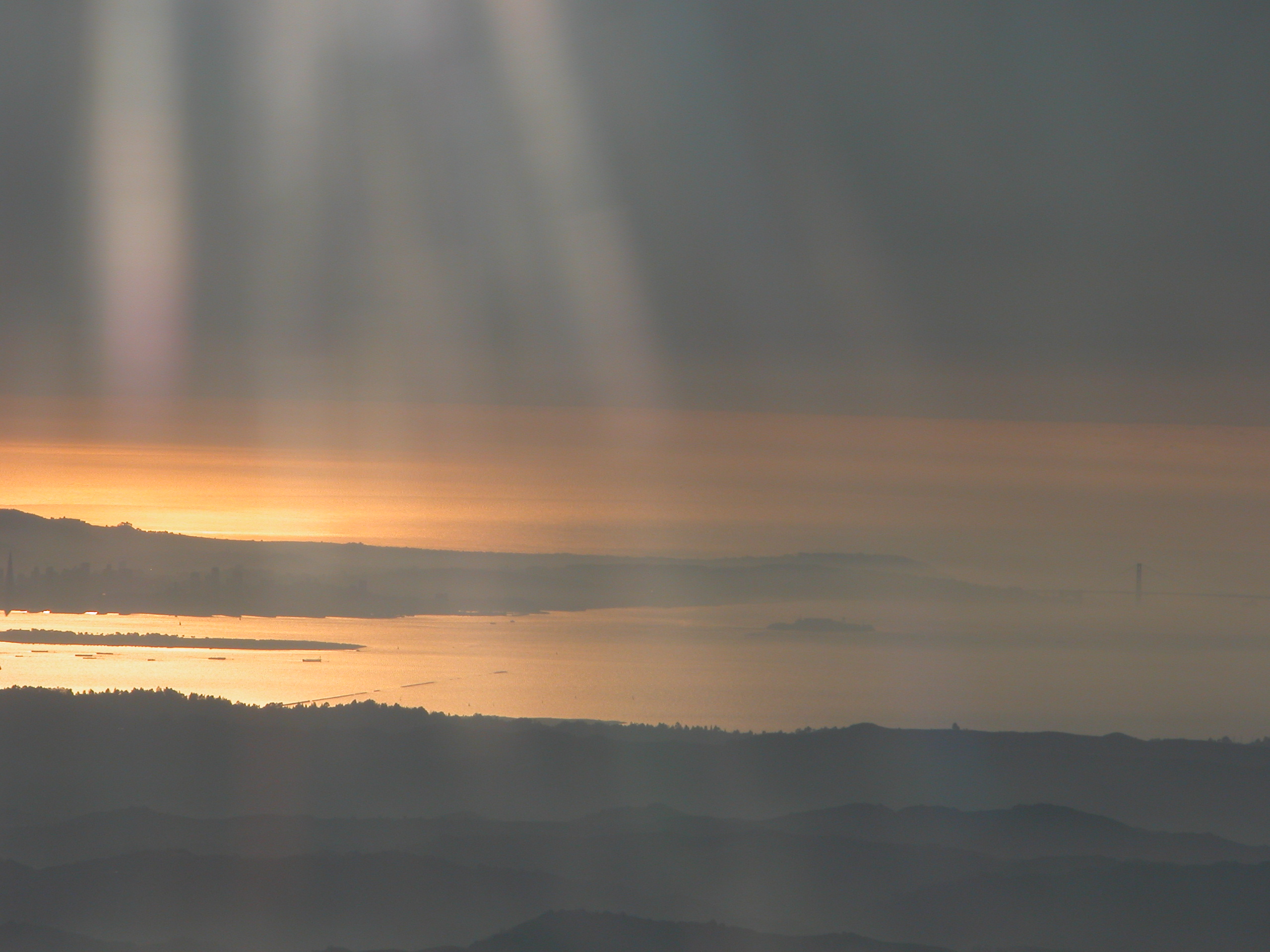
The flog flowing into the SF Bay Area. Richmond is approxmiately on the left and Fairfield approximately on the right. Fog flows like water. |

Lake Berryessa |
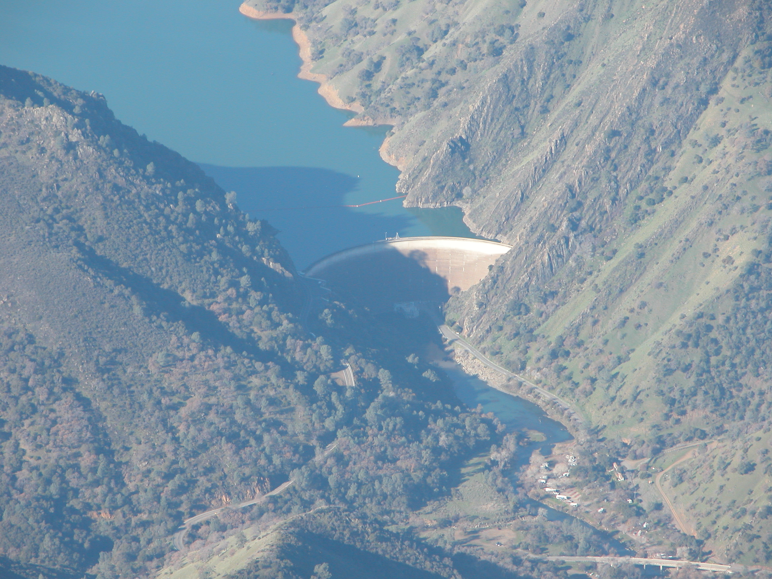
The dam at Lake Berryessa |
A Valley near Corning, CA. It was very hazy this day, needless to say. |
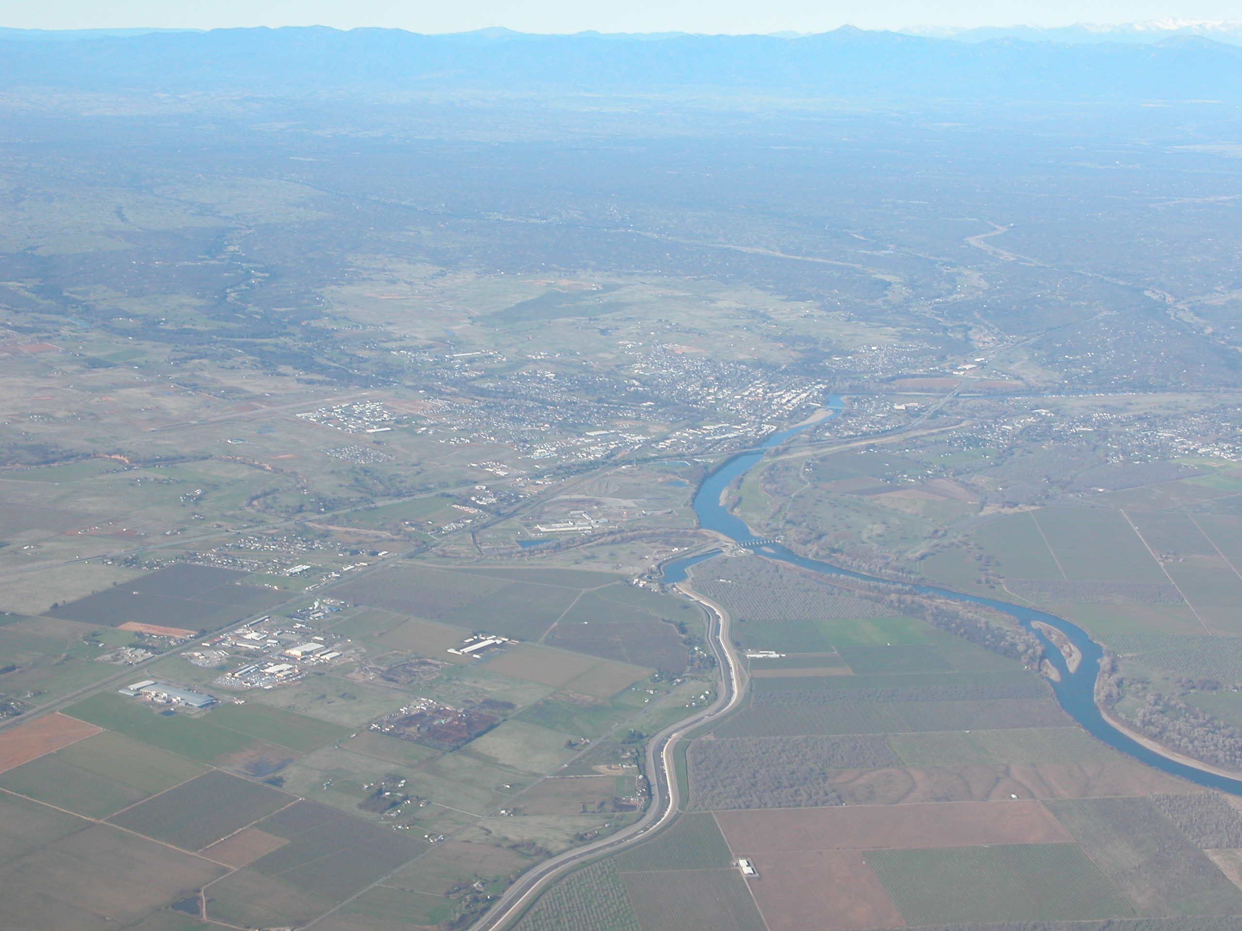
Red Bluff, CA, looking West. |
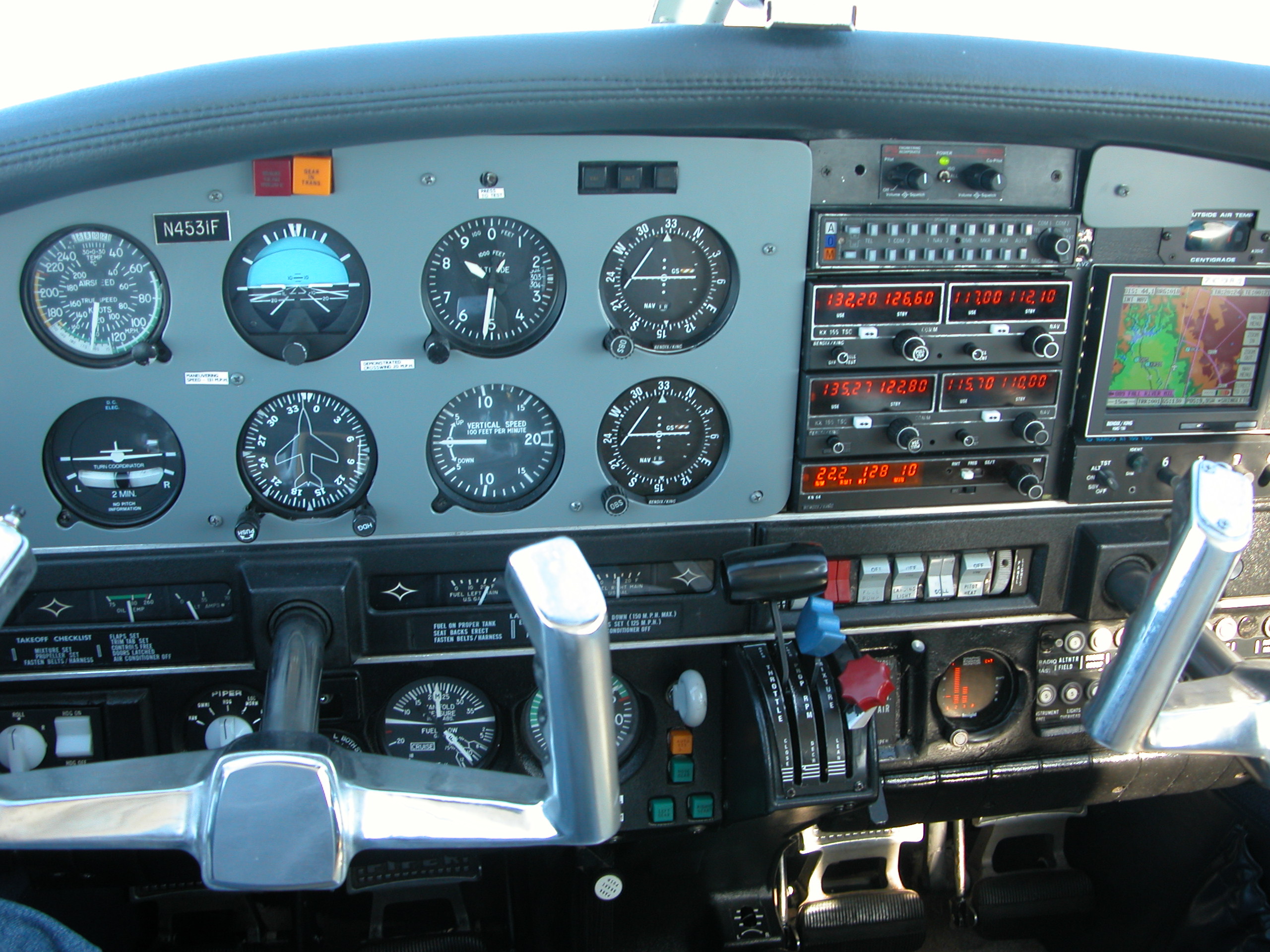
Interior view near Red Bluff, CA |
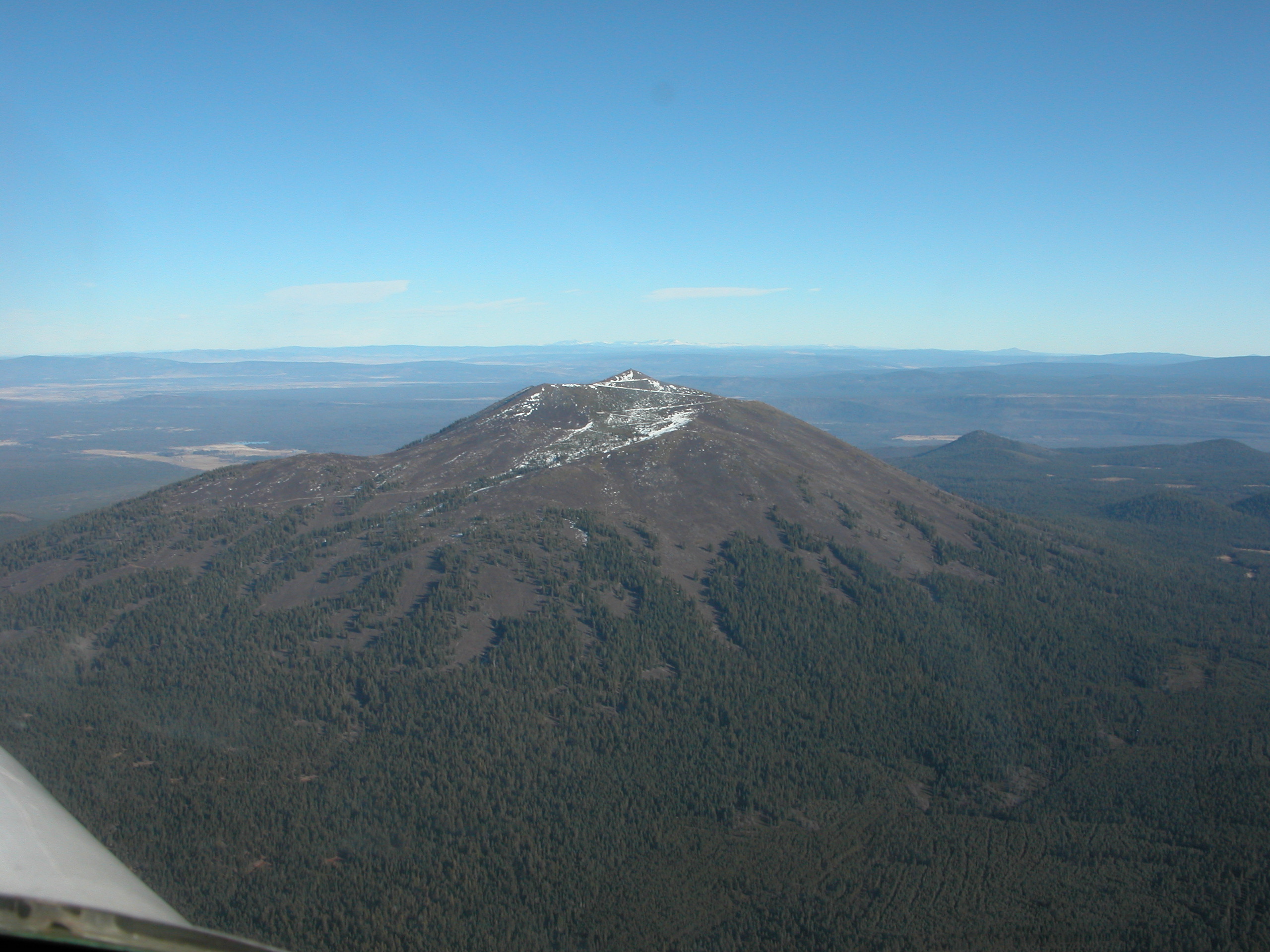
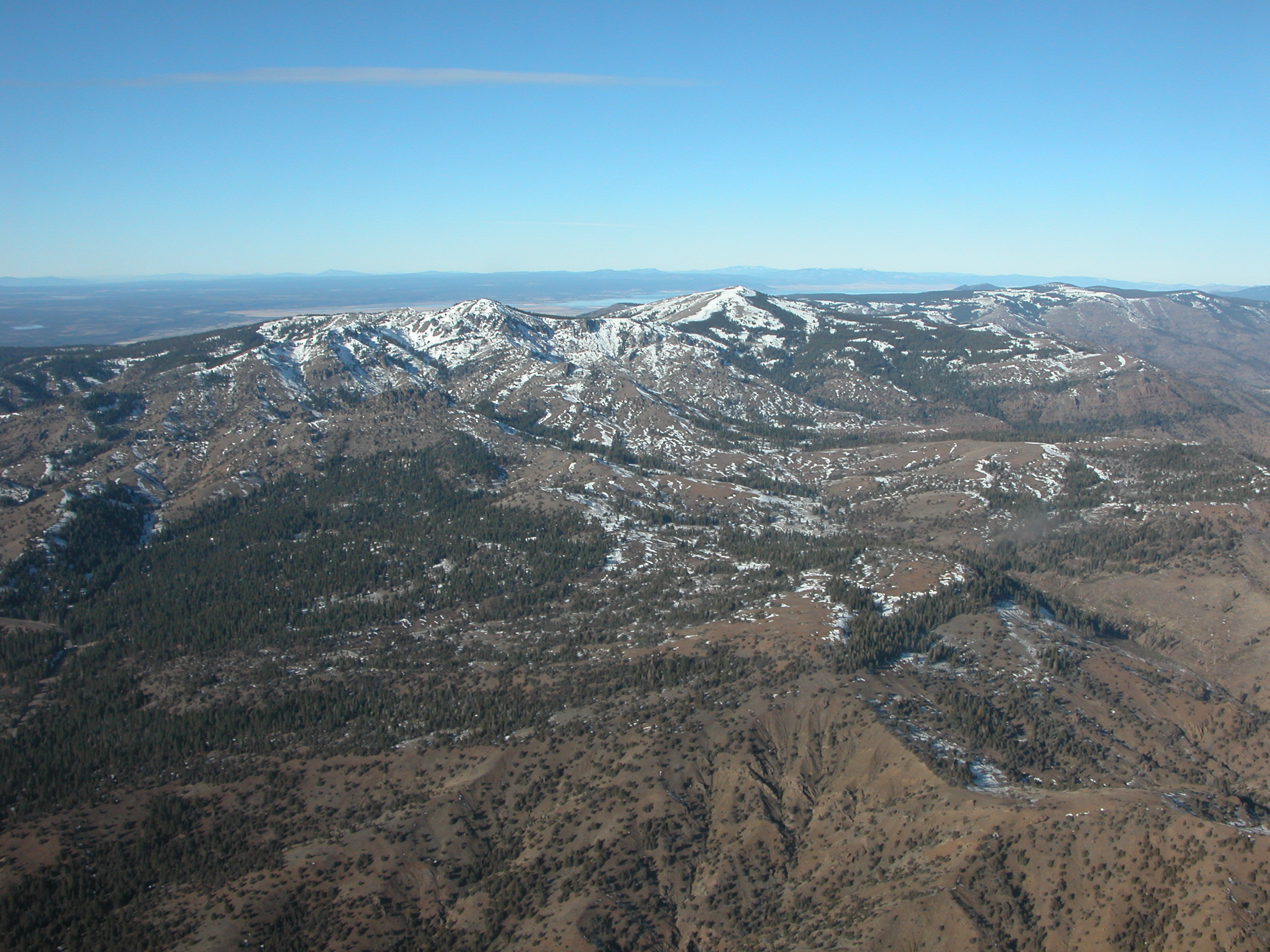
Branson peak, North of Mt. Lassen |
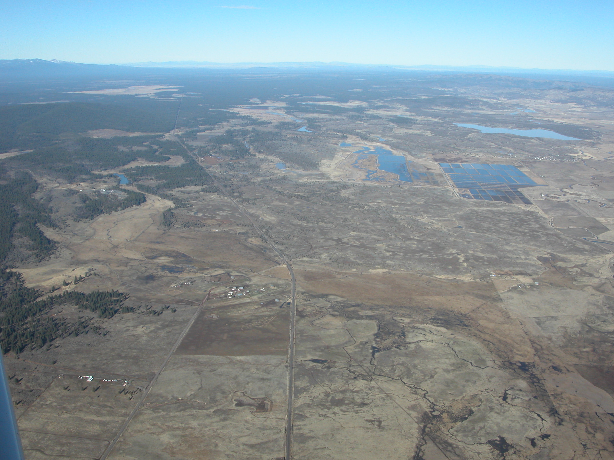
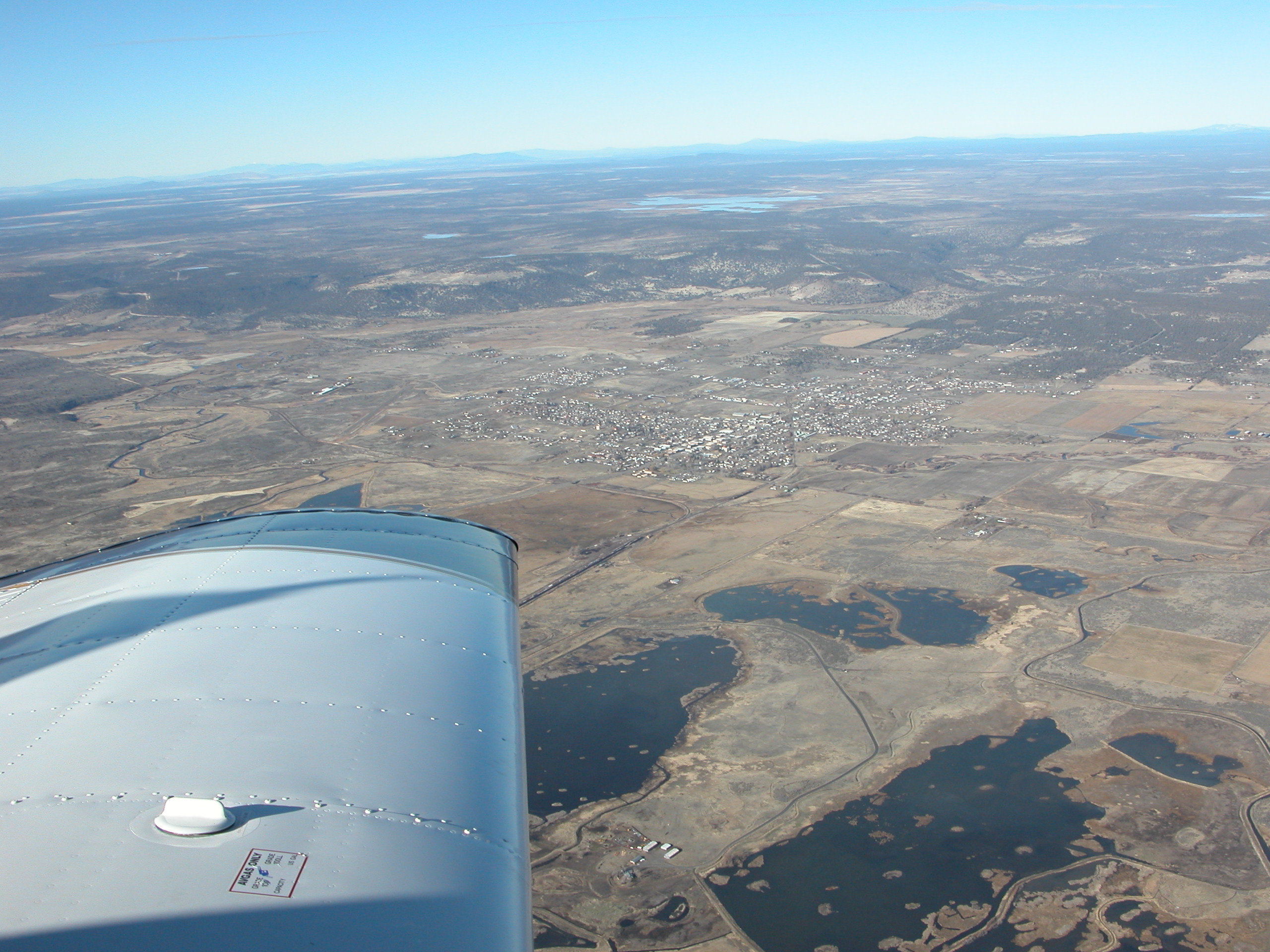
Heading northeast, about 50 miles out of Red Bluff. I was amazed at how much of this part of the state (Northeast corner) looks like this - almost wasteland. Maybe it's all green in the summer. |
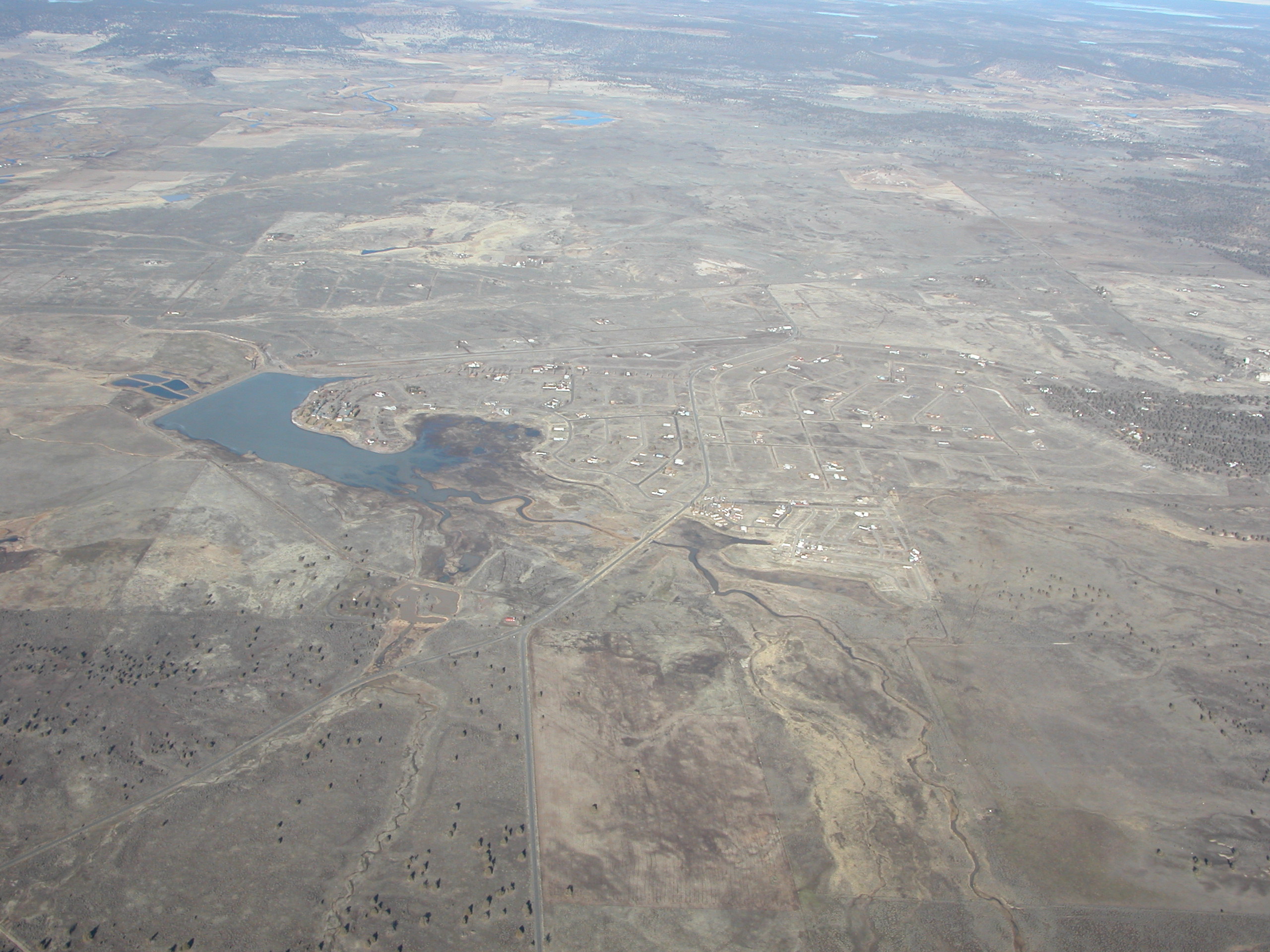
Yes folks, this is California Pines(tm). A bit different looking than the way Ponch advertised it on TV, eh? |
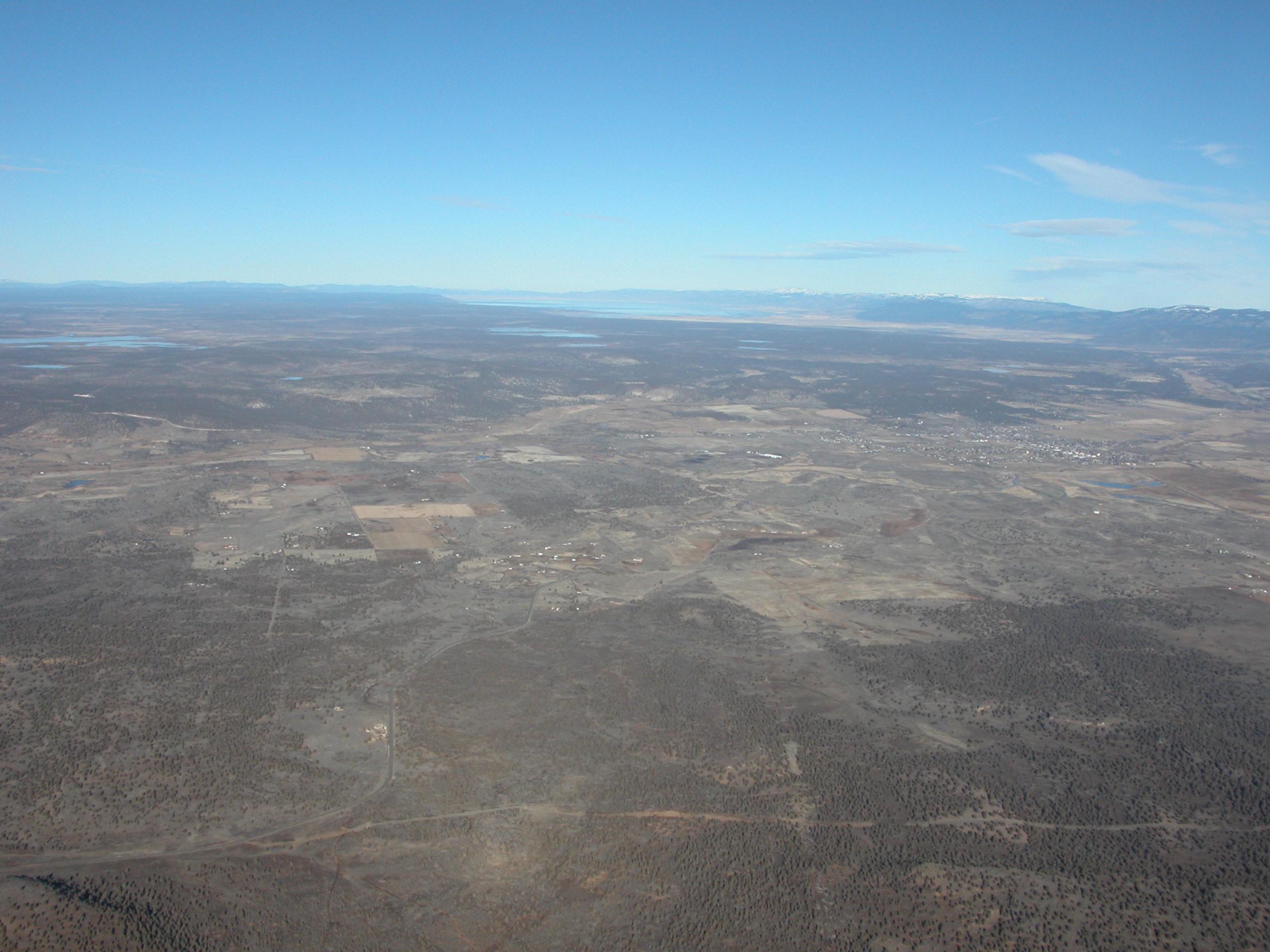
Almost there. This is Alturas on the right side of the picture, with Goose Lake in the distance. |
Another view of Alturas |
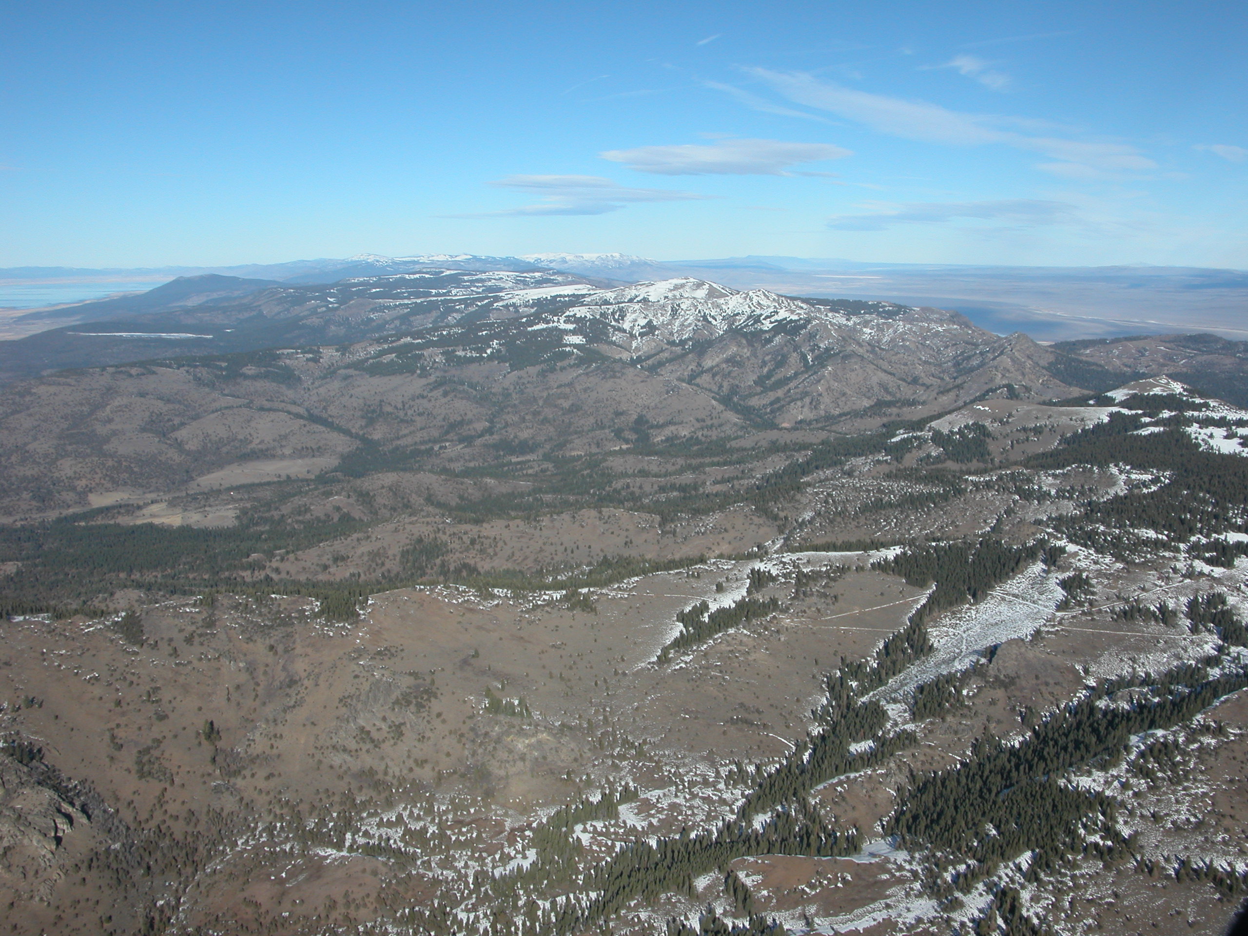
The mountain ridge east of Alturas. It had a dusting of snow. |
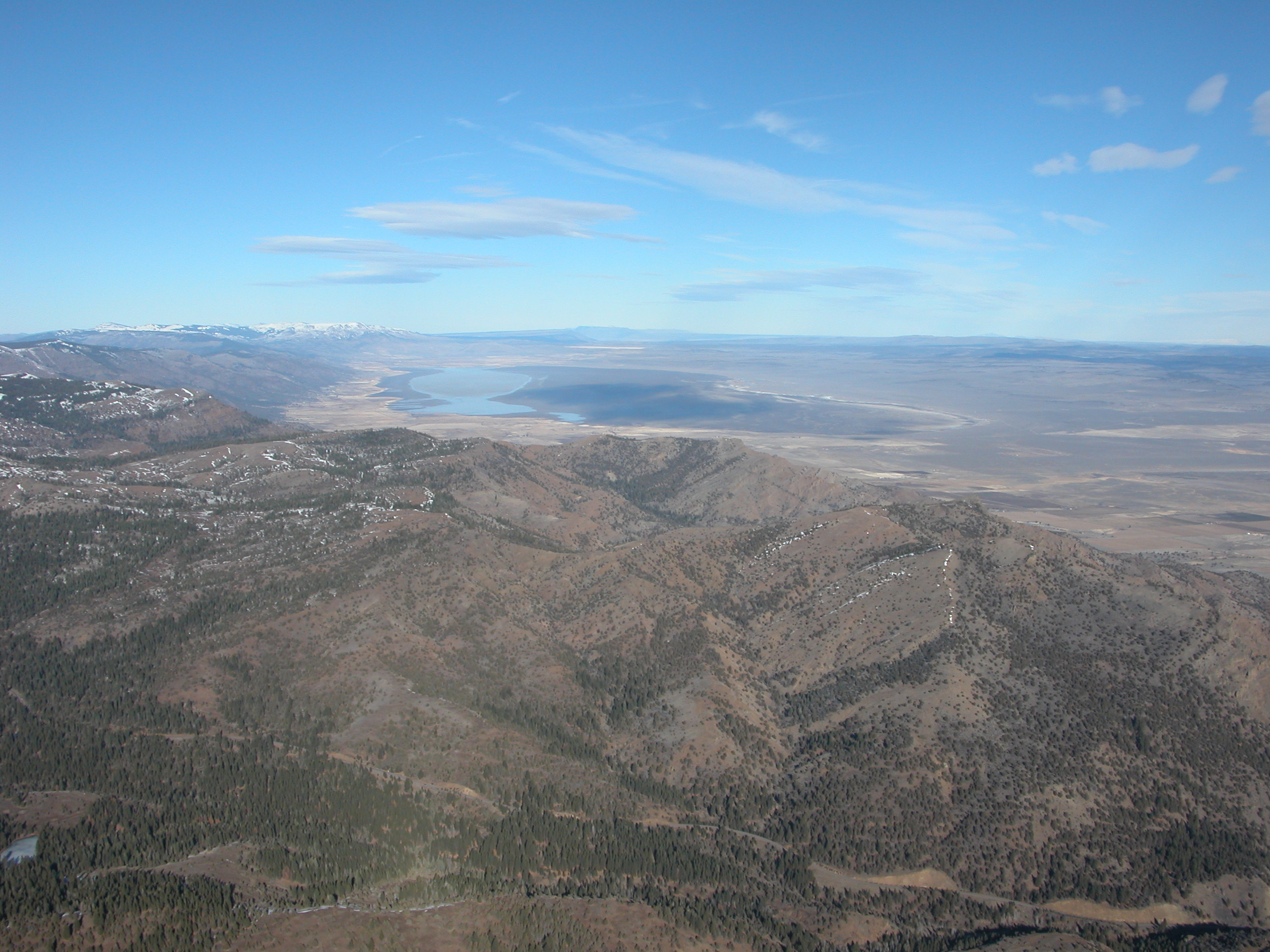
Crossing the ridge. There is a (mostly) dry lakebed north of Cedarville. |
|

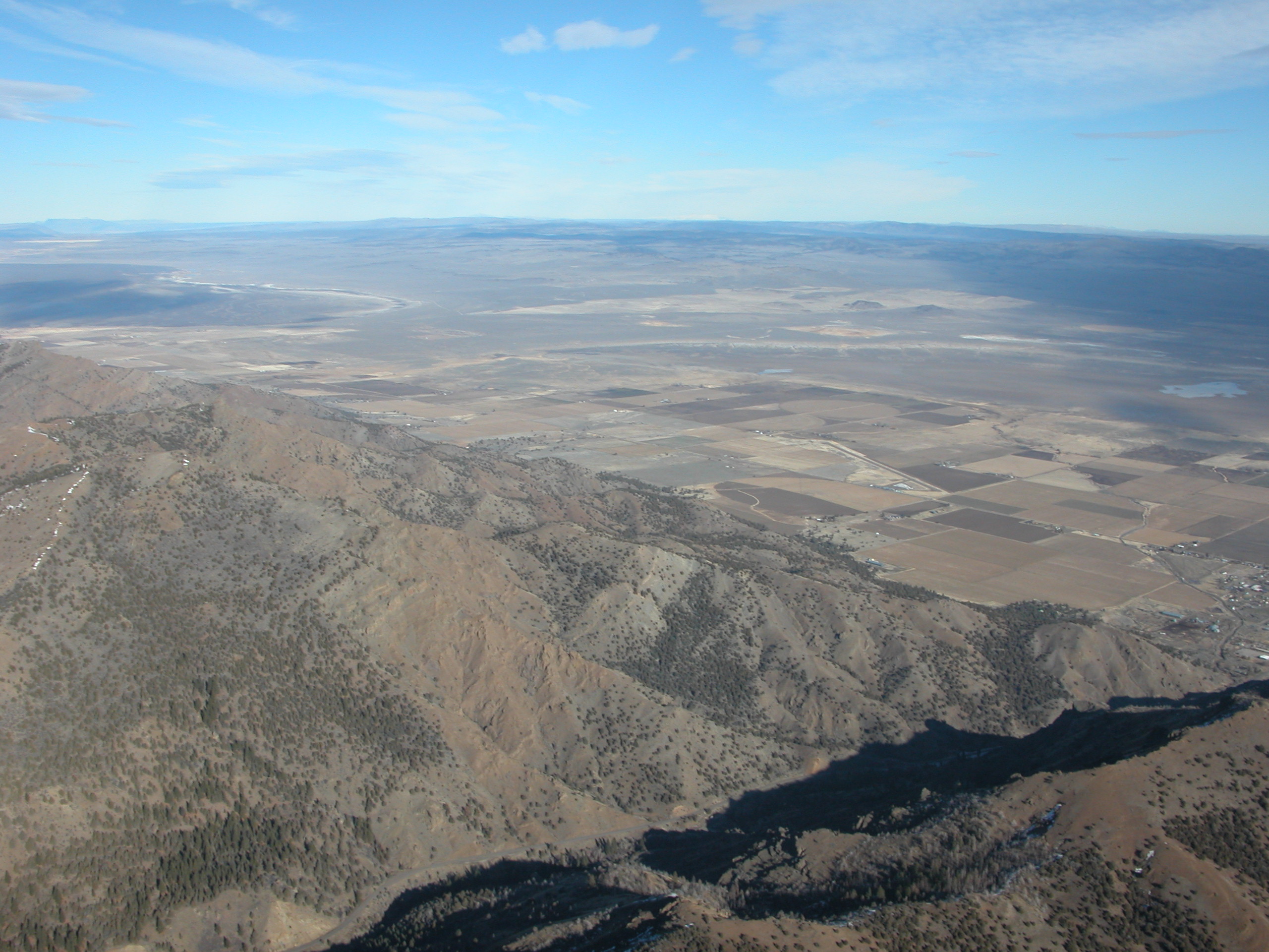
Descending for Cedarville. The airport is off the tip of the wing. There is nothing here. |
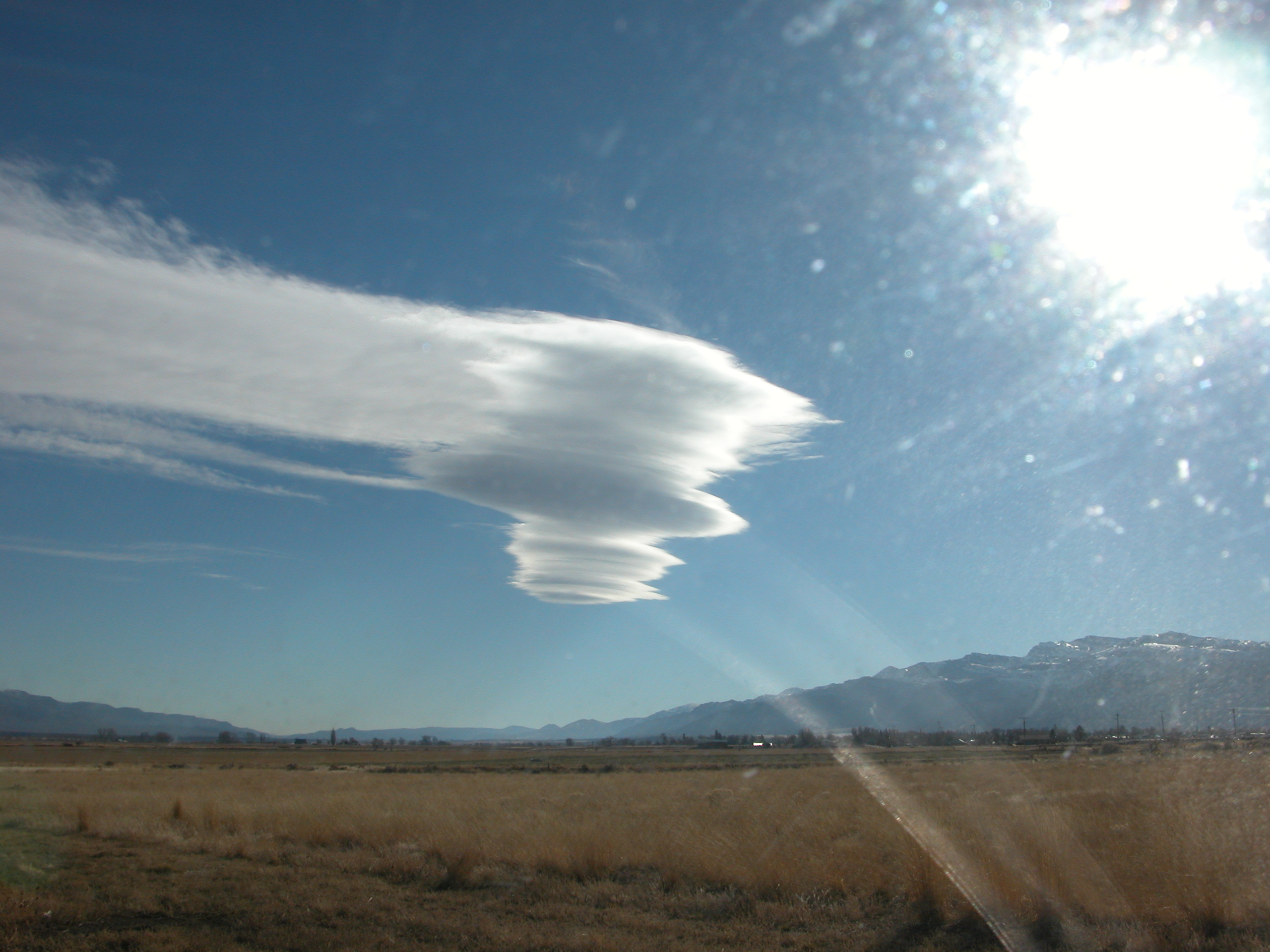
A cool looking lenticular cloud as viewed from the ground at Cedarville. |
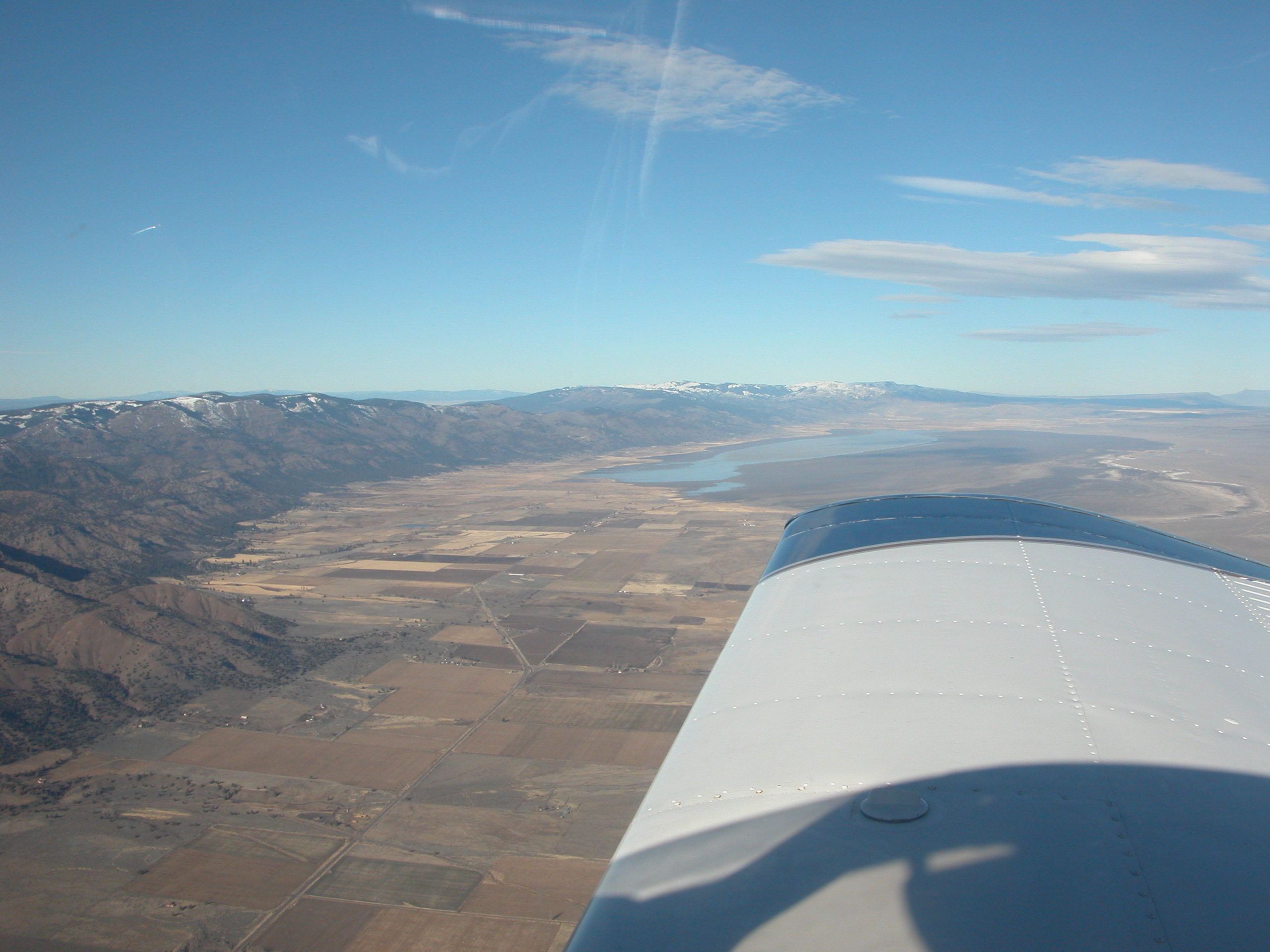
Leaving Cedarville. Time to head to Alturas for some fuel. |
|
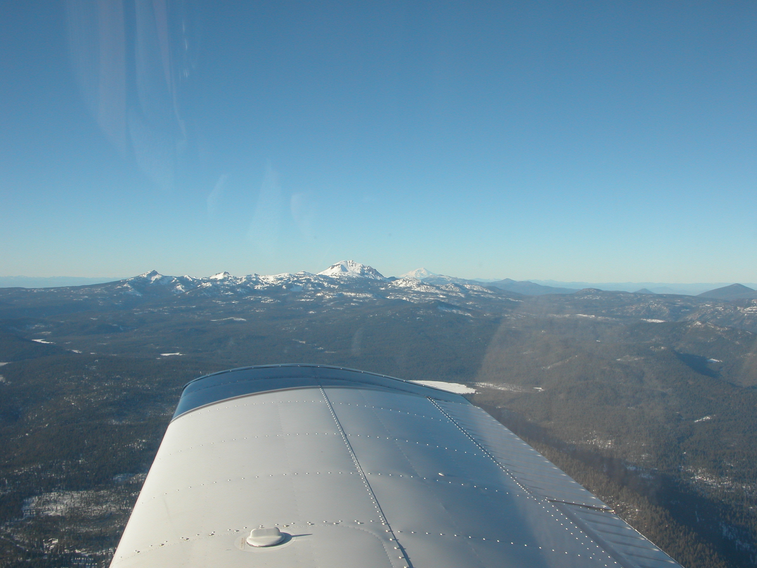
On the way back, I went south of Mt. Lassen instead of north. It's more direct, but passes over some higher, less hospitable terrain. This is looking North at Lassen. |
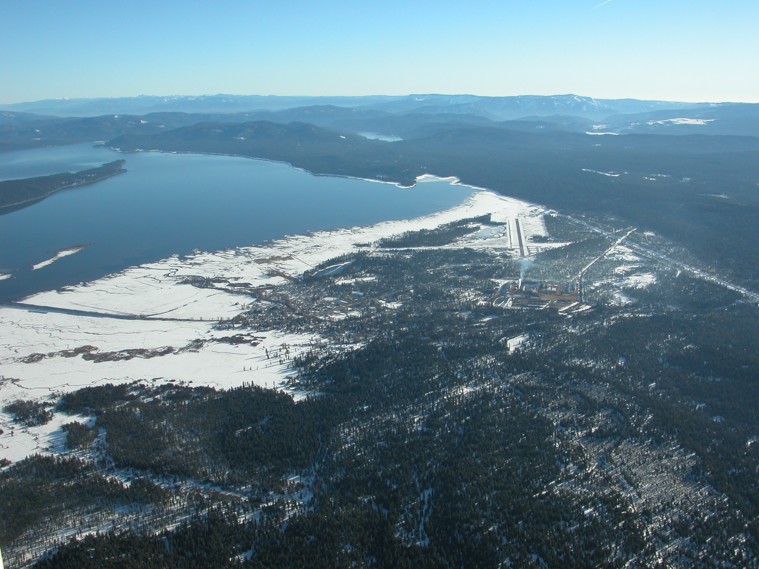
Chester airport on Lake Almanor. Looks like a nice place. |
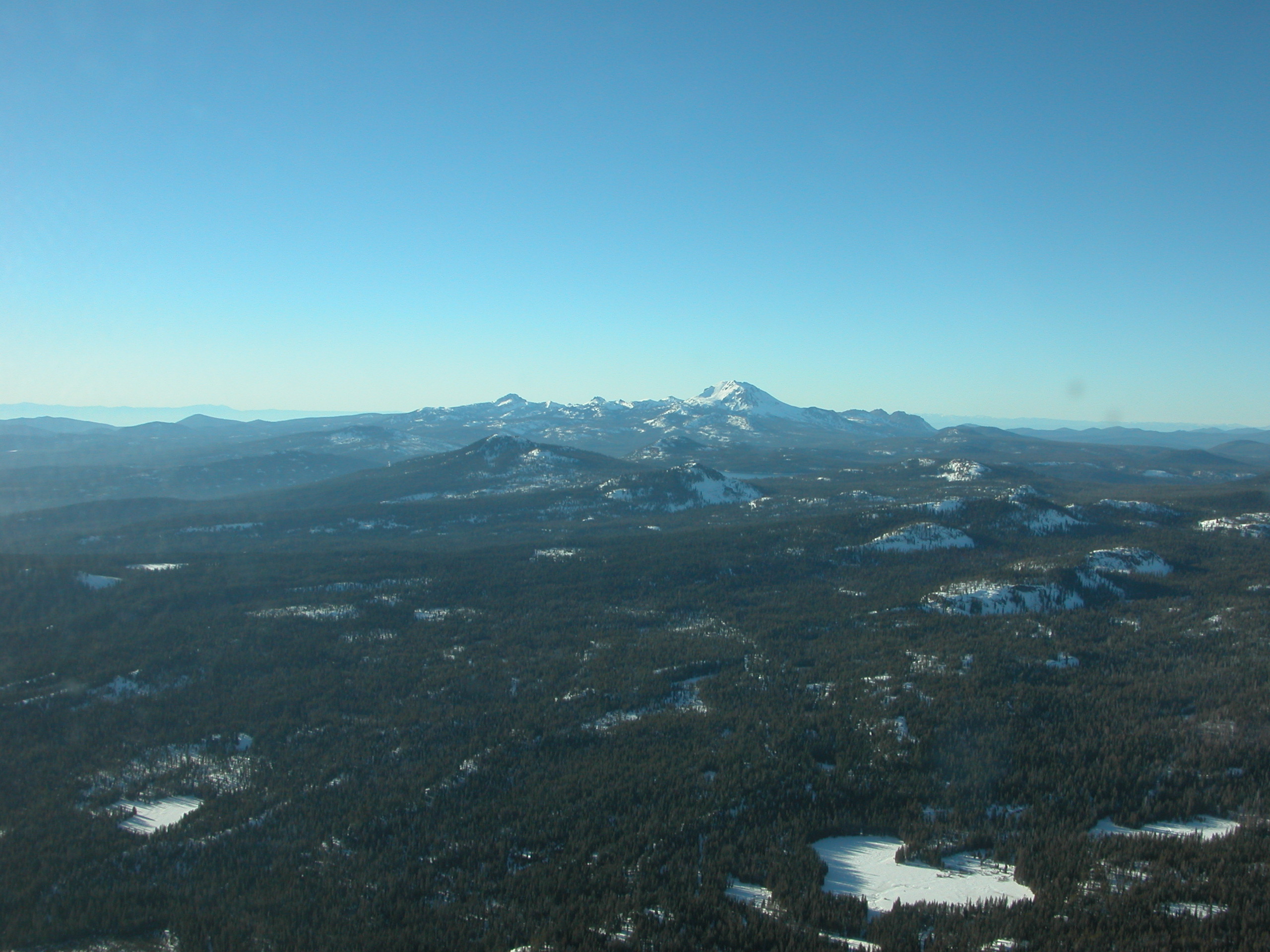
Mt. Lassen is the close mountain; Mt. Shasta is in the distance just to the right of Lassen. |
About to cross over the central valley again. Sutter Butte stands out as an obvious landmark. |

Sutter Butte, closer. It almost looks like an island. |
This was solid, all the way from Redding in the north to the Tehachapi mountains in the south - 3-400 miles long. |
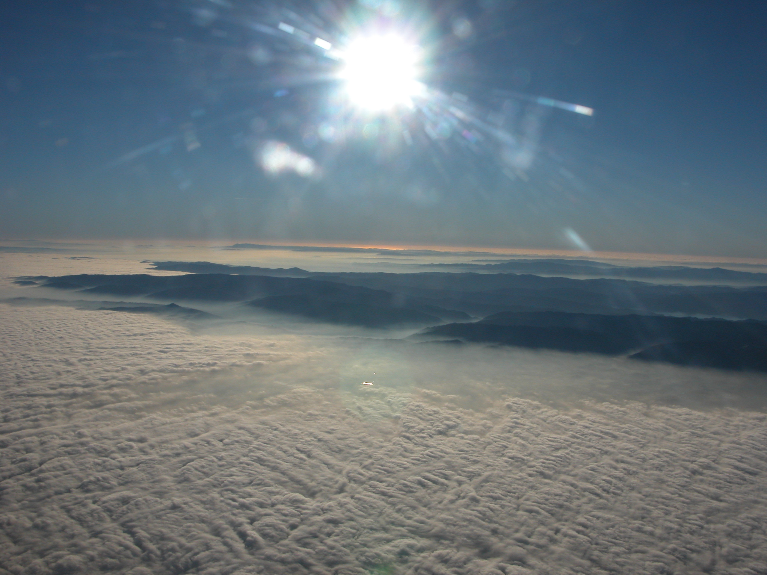
Looking west from about Fairfield. |
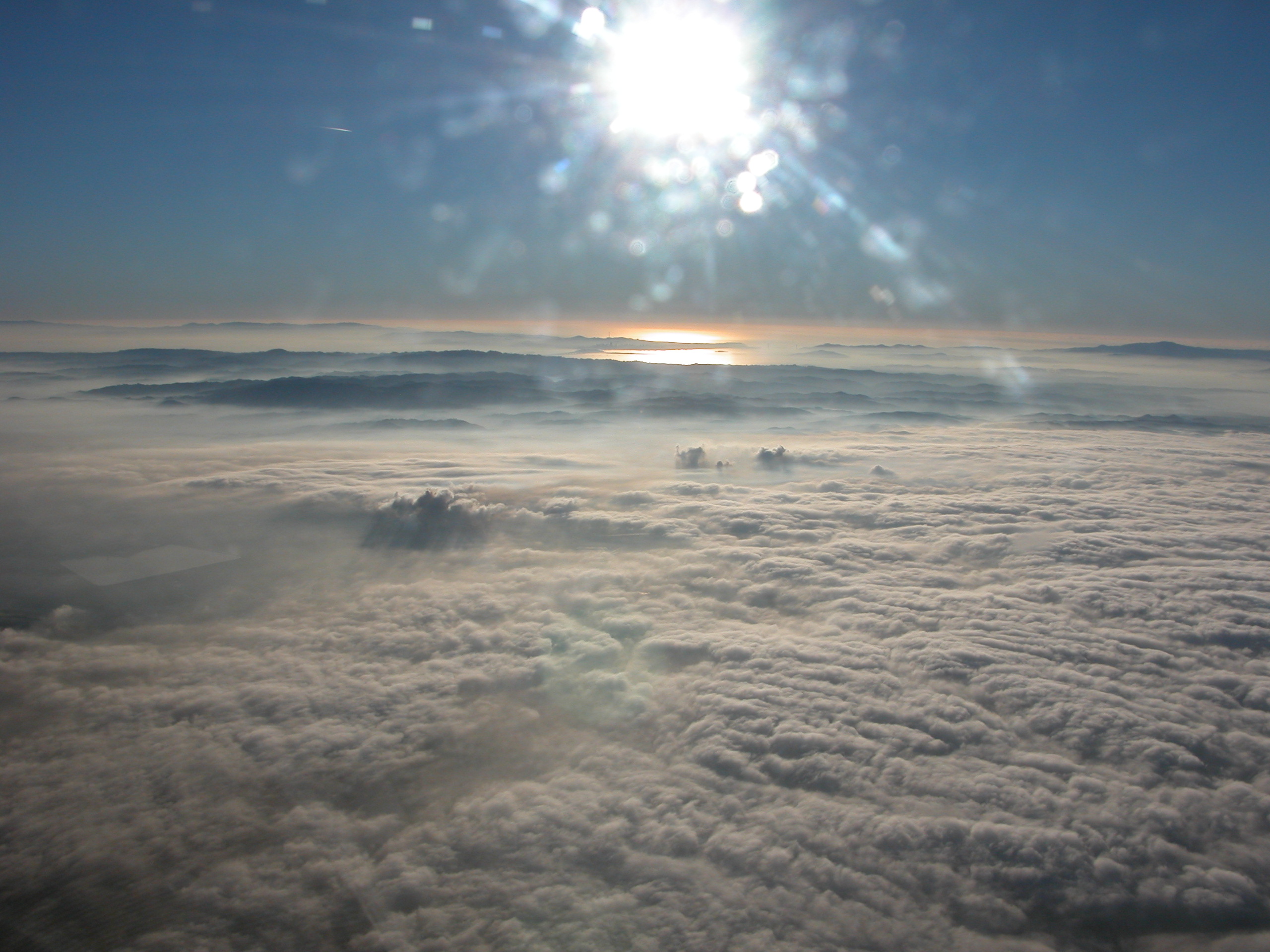
Looking west from about Concord. If you look closely, you can see the Golden Gate bridge towers and Downtown San Francisco silhouette. (remember, click to zoom) |
Same place, zoom in of San Francisco. |
Back
All images copyright Rich Prillinger, 2005, 2006, 2007, 2008, 2009, 2010, 2011, 2012, 2013
Please ask for permission before use
web at richp d0t com