March 10, 2001
This turned out to be an exceptionally clear day, perfect for taking photos. SFO was reporting 30 mile visibility; usually anything over 10 is good. Out in the valley several airports were reporting 100+ mile visibility. Mount Shasta was visible from about 4000 feet over Livermore - well over 250 miles away.
Photos taken with a Konica Autoreflex TC camera.
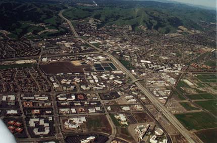 |
Intersection of 580 & 680 Enlargement |
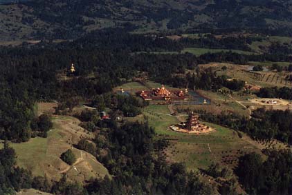
| Odiyan Temple
Northwest of Santa Rosa Enlargement |
 |
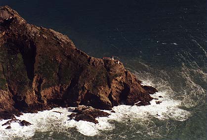 |
Point Reyes Lighthouse Enlargement |
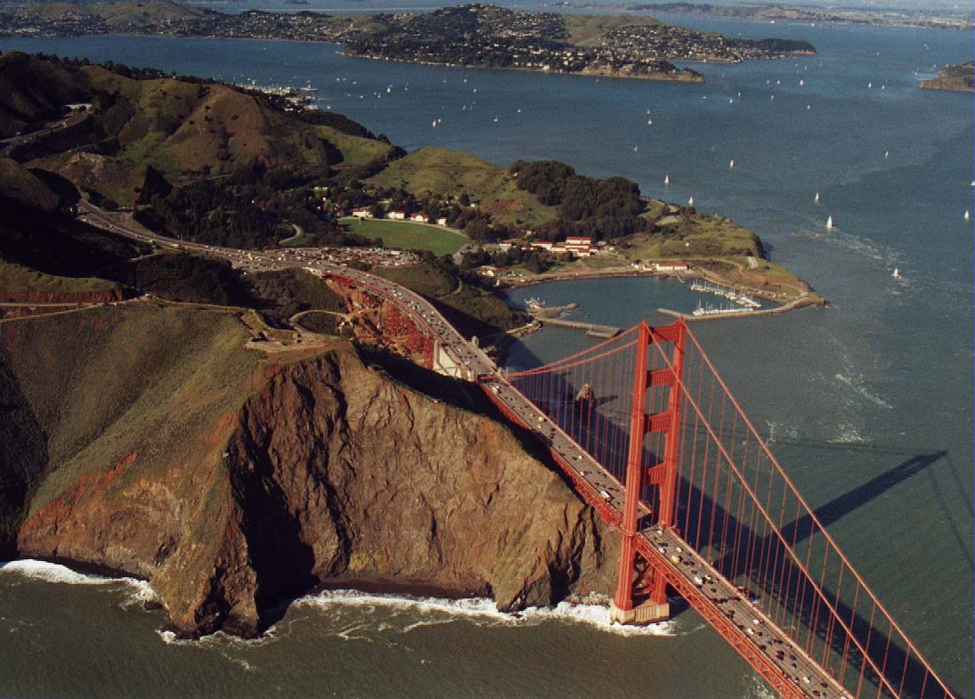
| Golden Gate Bridge This is looking to the Northeast. Tiburon is in the background. Enlargement |
 |
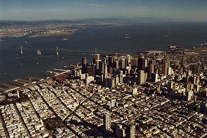 |
Downtown San Francisco Enlargement |
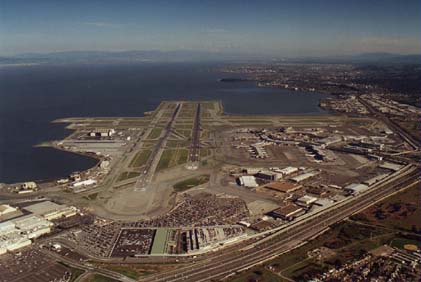
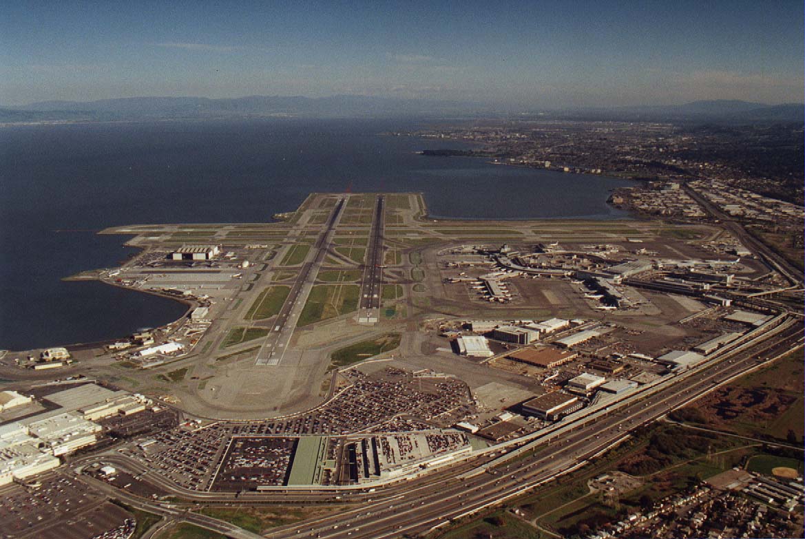
| San Francisco International Airport Enlargement |
 |
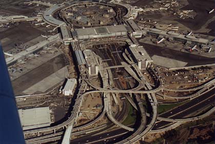 |
San Francisco International Airport terminal Enlargement |
Back
All images copyright Rich Prillinger, 2005, 2006, 2007, 2008, 2009, 2010, 2011, 2012, 2013
Please ask for permission before use
web at richp d0t com